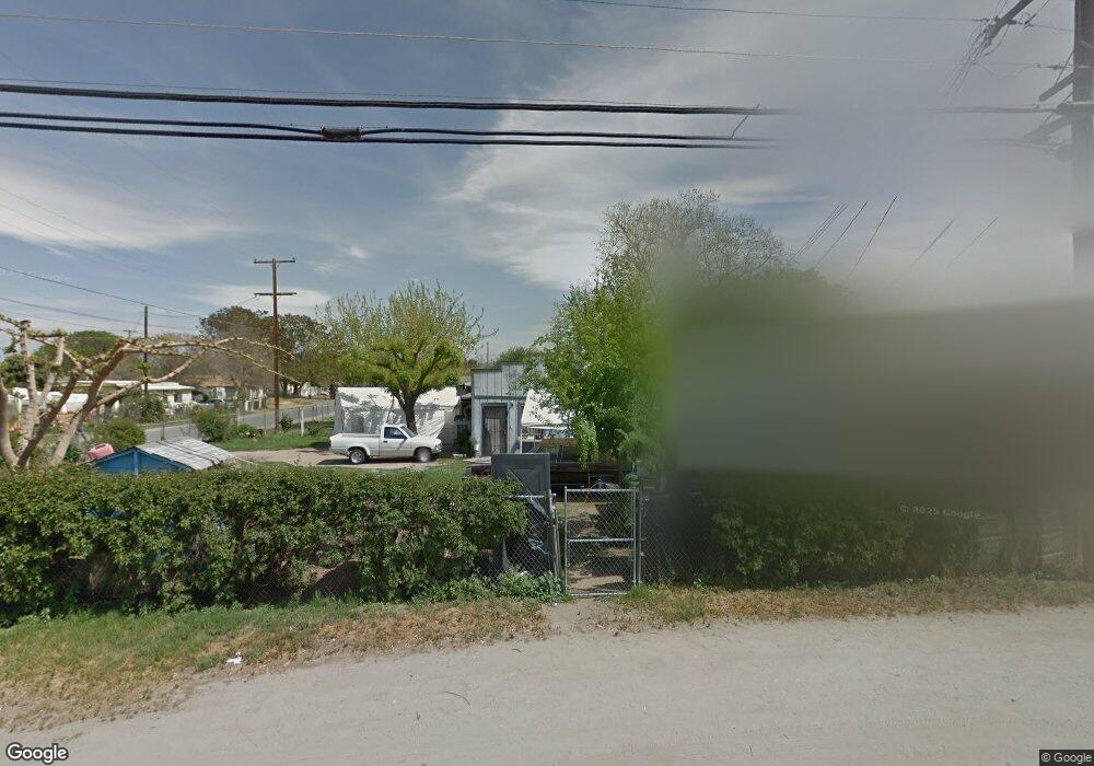
14490 Road 192 Poplar, CA 93257
Estimated Value: $187,000 - $297,000
--
Bed
--
Bath
--
Sq Ft
0.28
Acres
About This Home
This home is located at 14490 Road 192, Poplar, CA 93257 and is currently estimated at $227,825. 14490 Road 192 is a home located in Tulare County with nearby schools including Rockford Elementary School, Monache High School, and Strathmore High School.
Ownership History
Date
Name
Owned For
Owner Type
Purchase Details
Closed on
Mar 26, 2003
Sold by
Whitton Jessie R
Bought by
Achazo Denis and Achazo Vher S
Current Estimated Value
Home Financials for this Owner
Home Financials are based on the most recent Mortgage that was taken out on this home.
Original Mortgage
$42,932
Outstanding Balance
$18,484
Interest Rate
5.78%
Mortgage Type
Seller Take Back
Estimated Equity
$209,341
Create a Home Valuation Report for This Property
The Home Valuation Report is an in-depth analysis detailing your home's value as well as a comparison with similar homes in the area
Home Values in the Area
Average Home Value in this Area
Purchase History
| Date | Buyer | Sale Price | Title Company |
|---|---|---|---|
| Achazo Denis | $56,500 | Fidelity National Title Co |
Source: Public Records
Mortgage History
| Date | Status | Borrower | Loan Amount |
|---|---|---|---|
| Open | Achazo Denis | $42,932 |
Source: Public Records
Tax History Compared to Growth
Tax History
| Year | Tax Paid | Tax Assessment Tax Assessment Total Assessment is a certain percentage of the fair market value that is determined by local assessors to be the total taxable value of land and additions on the property. | Land | Improvement |
|---|---|---|---|---|
| 2025 | $829 | $81,830 | $18,827 | $63,003 |
| 2024 | $829 | $80,226 | $18,458 | $61,768 |
| 2023 | $829 | $78,654 | $18,097 | $60,557 |
| 2022 | $795 | $77,113 | $17,743 | $59,370 |
| 2021 | $785 | $75,601 | $17,395 | $58,206 |
| 2020 | $774 | $74,826 | $17,217 | $57,609 |
| 2019 | $758 | $73,358 | $16,879 | $56,479 |
| 2018 | $743 | $71,920 | $16,548 | $55,372 |
| 2017 | $731 | $70,510 | $16,224 | $54,286 |
| 2016 | $700 | $69,128 | $15,906 | $53,222 |
| 2015 | $675 | $68,090 | $15,667 | $52,423 |
| 2014 | $675 | $66,756 | $15,360 | $51,396 |
Source: Public Records
Map
Nearby Homes
- 0 SW Road 192 Unit#19
- 0 SW Road 192 Unit #21 Unit 232747
- 0 SW Road 192 Unit# 20
- 14725 Walker Rd
- 13250 Road 184
- 13291 Road 184
- 17771 Avenue 152
- 18925 Avenue 168
- 0 Avenue 168 Unit 237962
- 0 Avenue 168 Unit 235558
- 249 S Westwood St
- 15247 Road 223
- 2280 W Glenn Ave
- 1448 S Westwood Rd
- 16847 Road 168
- 575 N Brandy Way
- 100 S Westwood St Unit 1
- 100 S Westwood St Unit 17
- 100 S Westwood St
- 100 S Westwood St Unit Lot 105
- 14512 Road 192
- 14467 Tobias Rd
- 19232 Avenue 145
- 19248 Avenue 145
- 14518 Road 192
- 14505 Avenue 145
- 14507 Road 192
- 14521 Road 192
- 14523 Tobias Rd
- 14474 Tobias Rd
- 14480 Tobias
- 14486 Tobias Rd
- 14518 Kilroy Rd
- 14522 Tobias
- 14541 Tobias Rd
- 14456 Tobias Rd
- 14510 Kilroy Rd
- 14522 Tobias Rd
- 19165 Avenue 145
- 14461 Road 192