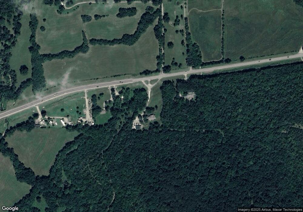
14491 Highway 51 Tahlequah, OK 74464
Estimated Value: $157,000 - $341,000
3
Beds
1
Bath
2,158
Sq Ft
$114/Sq Ft
Est. Value
About This Home
This home is located at 14491 Highway 51, Tahlequah, OK 74464 and is currently estimated at $246,881, approximately $114 per square foot. 14491 Highway 51 is a home located in Cherokee County with nearby schools including Greenwood Elementary School, Cherokee Elementary School, and Tahlequah Middle School.
Ownership History
Date
Name
Owned For
Owner Type
Purchase Details
Closed on
Jun 2, 2023
Sold by
Kilpatrick Lindsey J and Kilpatrick Brandon
Bought by
Kilpatrick Lindsey J and Kilpatrick Brandon
Current Estimated Value
Home Financials for this Owner
Home Financials are based on the most recent Mortgage that was taken out on this home.
Original Mortgage
$50,000
Outstanding Balance
$46,903
Interest Rate
6.43%
Mortgage Type
Credit Line Revolving
Estimated Equity
$199,978
Purchase Details
Closed on
Oct 28, 2009
Sold by
Kilpatrick Brandon
Bought by
Jenkins Lindsey J
Home Financials for this Owner
Home Financials are based on the most recent Mortgage that was taken out on this home.
Original Mortgage
$89,450
Interest Rate
5.05%
Mortgage Type
FHA
Create a Home Valuation Report for This Property
The Home Valuation Report is an in-depth analysis detailing your home's value as well as a comparison with similar homes in the area
Home Values in the Area
Average Home Value in this Area
Purchase History
| Date | Buyer | Sale Price | Title Company |
|---|---|---|---|
| Kilpatrick Lindsey J | -- | Integrity Title & Closing | |
| Jenkins Lindsey J | $80,500 | Heritage Title |
Source: Public Records
Mortgage History
| Date | Status | Borrower | Loan Amount |
|---|---|---|---|
| Open | Kilpatrick Lindsey J | $50,000 | |
| Previous Owner | Jenkins Lindsey J | $89,450 |
Source: Public Records
Tax History Compared to Growth
Tax History
| Year | Tax Paid | Tax Assessment Tax Assessment Total Assessment is a certain percentage of the fair market value that is determined by local assessors to be the total taxable value of land and additions on the property. | Land | Improvement |
|---|---|---|---|---|
| 2025 | $1,156 | $13,592 | $432 | $13,160 |
| 2024 | $1,156 | $13,196 | $419 | $12,777 |
| 2023 | $1,156 | $12,812 | $654 | $12,158 |
| 2022 | $1,061 | $12,439 | $635 | $11,804 |
| 2021 | $1,031 | $12,077 | $617 | $11,460 |
| 2020 | $1,017 | $11,725 | $599 | $11,126 |
| 2019 | $976 | $11,383 | $567 | $10,816 |
| 2018 | $956 | $11,052 | $551 | $10,501 |
| 2017 | $923 | $10,730 | $468 | $10,262 |
| 2016 | $899 | $10,418 | $281 | $10,137 |
| 2015 | $834 | $10,114 | $447 | $9,667 |
| 2014 | $834 | $9,863 | $478 | $9,385 |
Source: Public Records
Map
Nearby Homes
- 17283 N Bryant Rd
- 16509 N Bryant Rd
- 0 W Burchett Rd Unit 2518831
- TBD W Fox St
- Tbd Unit West Fox Street Tahl
- 1998 W Allen Rd
- 1025 W Fox St
- 17022 W Grandview Rd
- 16759 W Burchett Rd
- 807 W Choctaw St
- 104 S West Ave
- 1104 Chase Ave
- 11261 Highway 51
- 0 W Choctaw St
- 780 W Southlake Dr
- 516 W Fox St
- 905 Shelley Cir
- 902 S Mission Ave
- 20 W Grandview Rd
- 610 W Delaware St
- 14429 Highway 51
- 14563 Highway 51
- 14415 Highway 51
- 14371 Highway 51
- 17537 N Limbsey Ln
- 14468 Highway 51
- 14277 Highway 51
- 14584 Highway 51
- 14790 Highway 51
- 14078 Highway 51
- 14792 Highway 51
- 17235 N Limbsey Ln
- 17378 N Baker Rd
- 17196 N Baker Rd
- 18388 S Lamons Rd
- 14737 W 750 Rd
- 13778 Highway 51
- 14385 W 750 Rd
- 17197 N Baker Rd
- 16962 N 475 Rd