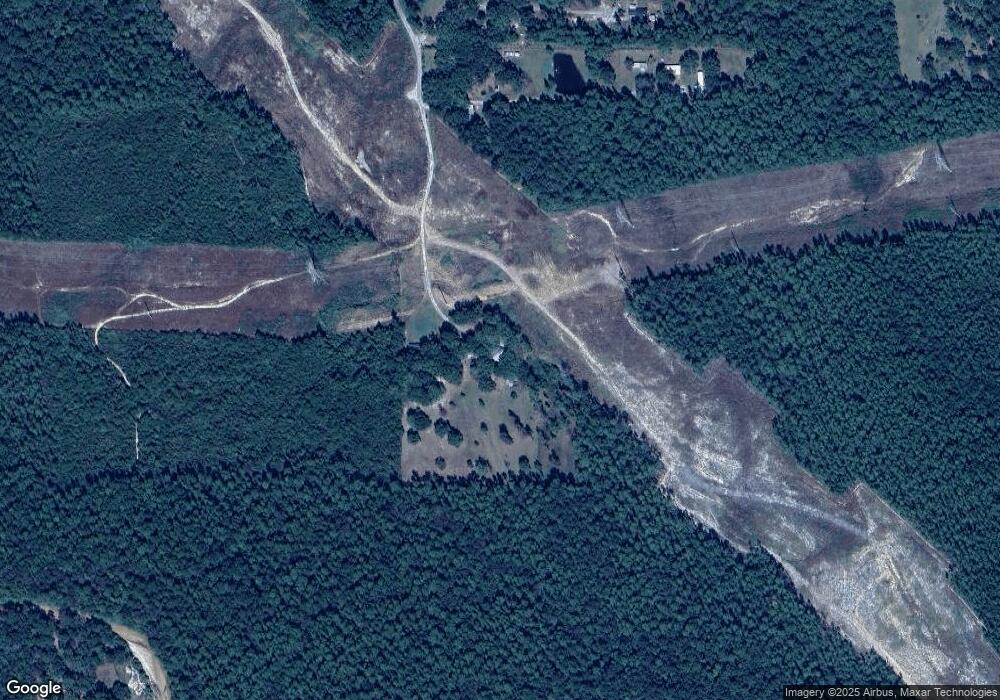
14493 Low Point Rd Vancleave, MS 39565
Estimated Value: $238,874 - $313,000
--
Bed
2
Baths
1,606
Sq Ft
$179/Sq Ft
Est. Value
About This Home
This home is located at 14493 Low Point Rd, Vancleave, MS 39565 and is currently estimated at $287,291, approximately $178 per square foot. 14493 Low Point Rd is a home located in Jackson County with nearby schools including Vancleave Upper Elementary School, Vancleave Lower Elementary School, and Vancleave Middle School.
Ownership History
Date
Name
Owned For
Owner Type
Purchase Details
Closed on
Jul 20, 2022
Sold by
Greg Forehand
Bought by
Fairley Robert W and Fairley Barbara A
Current Estimated Value
Purchase Details
Closed on
Jun 23, 2022
Sold by
Mac Forehand and Mac Pearlie
Bought by
Forehand Greg
Purchase Details
Closed on
Oct 31, 2012
Sold by
Bellace Sharon M and Mccullough Sharon M
Bought by
Forehand Leon and Forhand Pearlie Mae
Create a Home Valuation Report for This Property
The Home Valuation Report is an in-depth analysis detailing your home's value as well as a comparison with similar homes in the area
Home Values in the Area
Average Home Value in this Area
Purchase History
| Date | Buyer | Sale Price | Title Company |
|---|---|---|---|
| Fairley Robert W | -- | None Listed On Document | |
| Forehand Greg | -- | None Listed On Document | |
| Forehand Leon | -- | -- |
Source: Public Records
Tax History Compared to Growth
Tax History
| Year | Tax Paid | Tax Assessment Tax Assessment Total Assessment is a certain percentage of the fair market value that is determined by local assessors to be the total taxable value of land and additions on the property. | Land | Improvement |
|---|---|---|---|---|
| 2024 | $2,553 | $21,270 | $7,956 | $13,314 |
| 2023 | $2,553 | $22,246 | $8,932 | $13,314 |
| 2022 | $396 | $10,898 | $0 | $0 |
| 2021 | $396 | $10,898 | $10,005 | $893 |
| 2020 | $393 | $10,755 | $2,133 | $8,622 |
| 2019 | $378 | $10,661 | $2,039 | $8,622 |
| 2018 | $386 | $10,666 | $2,043 | $8,623 |
| 2017 | $427 | $10,948 | $2,043 | $8,905 |
| 2016 | $409 | $10,941 | $2,036 | $8,905 |
| 2015 | $262 | $94,840 | $17,260 | $77,580 |
| 2014 | $297 | $10,030 | $1,987 | $8,043 |
| 2013 | $297 | $10,120 | $1,976 | $8,144 |
Source: Public Records
Map
Nearby Homes
- 14832 Hillside Dr
- 0 Fairley Rd
- 0 Hillsboro Rd
- 13109 Little Bluff Dr
- Tbd Seaman Rd
- 5701 Juniper Dr
- 0 Morningside Dr Unit 4120736
- 6305 Morningside Dr
- 16916 Long Leaf Dr
- 5432 Dogwood Dr
- 3685 Poticaw Bayou Rd
- 3665 Poticaw Bayou Rd
- 16744 Spring Lake Dr W
- 17105 Spring Lake Dr W
- 6001 Wooded Acres Rd
- 0 Ashmore Ridge Dr Unit 2019001027
- 4901 Ashmore Ridge Dr
- 17220 Spring Lake Dr E
- 0 E Spring Lake Dr
- 2913 Holden Dr
- 14500 Low Point Rd
- 14508 Low Point Rd
- 14507 Low Point Rd
- 14513 Low Point Rd
- 14632 Low Point Rd
- 5707 Swing Gate Ln
- 14701 High Point Rd
- 5801 Swing Gate Ln
- 14640 Low Point Rd
- 14638 Low Point Rd
- 14713 High Point Rd
- 14706 High Point Rd
- 5712 Swing Gate Ln
- 5737 Burney Rd
- 14909 Highway 57
- 5801 Burney Rd
- 14701 Burrell Rd
- 14708 Burrell Rd
- 14800 Burrell Rd
- 5609 Burney Rd
