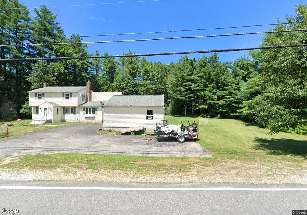
145 Baboosic Lake Rd MerriMacK, NH 03054
Estimated Value: $762,624 - $1,021,000
3
Beds
3
Baths
3,200
Sq Ft
$281/Sq Ft
Est. Value
About This Home
This home is located at 145 Baboosic Lake Rd, MerriMacK, NH 03054 and is currently estimated at $900,656, approximately $281 per square foot. 145 Baboosic Lake Rd is a home located in Hillsborough County with nearby schools including James Mastricola Elementary School, Merrimack Middle School, and James Mastricola Upper Elementary School.
Ownership History
Date
Name
Owned For
Owner Type
Purchase Details
Closed on
Jun 8, 2009
Sold by
Hepfinger Norbert J and Hepfinger Gale M
Bought by
Coviello Daniel and Coviello Christina
Current Estimated Value
Home Financials for this Owner
Home Financials are based on the most recent Mortgage that was taken out on this home.
Original Mortgage
$360,000
Outstanding Balance
$228,188
Interest Rate
4.83%
Mortgage Type
Purchase Money Mortgage
Estimated Equity
$672,468
Create a Home Valuation Report for This Property
The Home Valuation Report is an in-depth analysis detailing your home's value as well as a comparison with similar homes in the area
Home Values in the Area
Average Home Value in this Area
Purchase History
| Date | Buyer | Sale Price | Title Company |
|---|---|---|---|
| Coviello Daniel | $450,000 | -- |
Source: Public Records
Mortgage History
| Date | Status | Borrower | Loan Amount |
|---|---|---|---|
| Open | Coviello Daniel | $360,000 |
Source: Public Records
Tax History Compared to Growth
Tax History
| Year | Tax Paid | Tax Assessment Tax Assessment Total Assessment is a certain percentage of the fair market value that is determined by local assessors to be the total taxable value of land and additions on the property. | Land | Improvement |
|---|---|---|---|---|
| 2024 | $10,991 | $531,200 | $223,600 | $307,600 |
| 2023 | $10,332 | $531,200 | $223,600 | $307,600 |
| 2022 | $9,232 | $531,200 | $223,600 | $307,600 |
| 2021 | $9,121 | $531,200 | $223,600 | $307,600 |
| 2020 | $9,759 | $405,600 | $166,200 | $239,400 |
| 2019 | $9,787 | $405,600 | $166,200 | $239,400 |
| 2018 | $10,171 | $421,700 | $166,200 | $255,500 |
| 2017 | $9,855 | $421,700 | $166,200 | $255,500 |
| 2016 | $9,611 | $421,700 | $166,200 | $255,500 |
| 2015 | $9,972 | $403,400 | $160,400 | $243,000 |
| 2014 | $9,718 | $403,400 | $160,400 | $243,000 |
| 2013 | $9,645 | $403,400 | $160,400 | $243,000 |
Source: Public Records
Map
Nearby Homes
- 151 Baboosic Lake Rd
- 8 Carrie Dr
- 6 Carrie Dr
- 12 Carrie Dr
- 9 Maidstone Dr
- 7 Maidstone Dr
- 149 Baboosic Lake Rd
- 3 Maidstone Dr
- 5 Maidstone Dr
- 11 Maidstone Dr
- 147 Baboosic Lake Rd
- 7 Carrie Dr
- 15 Maidstone Dr
- 4 Carrie Dr
- 155 Baboosic Lake Rd
- 5 Carrie Dr
- 19 Maidstone Dr
- 10 Patten Rd
- 3 Carrie Dr
- 8 Maidstone Dr