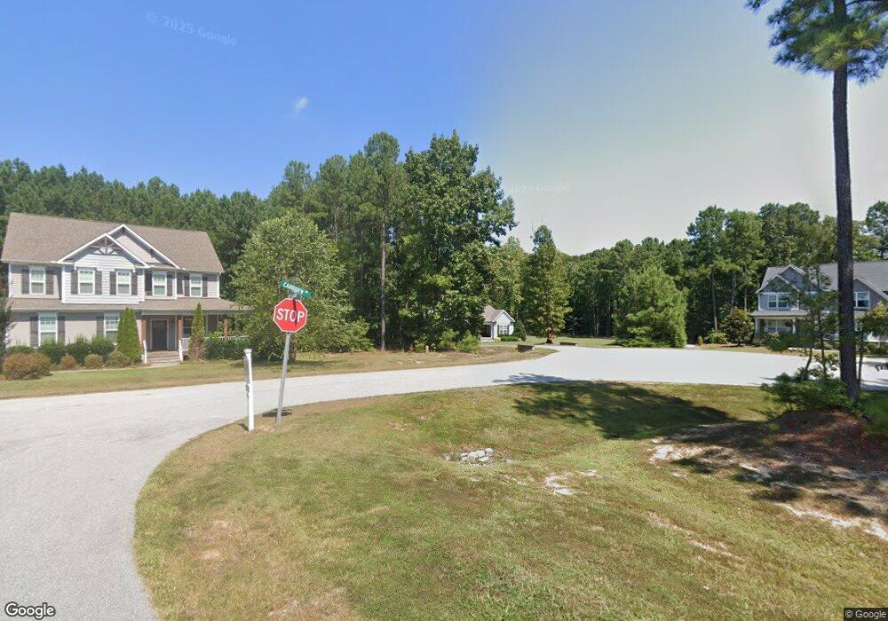
145 Carriden Dr Youngsville, NC 27596
Estimated Value: $777,000 - $811,000
4
Beds
3
Baths
3,807
Sq Ft
$208/Sq Ft
Est. Value
About This Home
This home is located at 145 Carriden Dr, Youngsville, NC 27596 and is currently estimated at $792,813, approximately $208 per square foot. 145 Carriden Dr is a home located in Franklin County with nearby schools including Royal Elementary School, Bunn Middle School, and Bunn High School.
Ownership History
Date
Name
Owned For
Owner Type
Purchase Details
Closed on
Mar 19, 2021
Sold by
Clark Allen Curtis and Clark Courtney Wilkinson
Bought by
Renner Darryl and Renner Kimberly
Current Estimated Value
Home Financials for this Owner
Home Financials are based on the most recent Mortgage that was taken out on this home.
Original Mortgage
$460,000
Outstanding Balance
$411,419
Interest Rate
2.7%
Mortgage Type
New Conventional
Estimated Equity
$381,394
Purchase Details
Closed on
Jun 1, 2016
Sold by
Wilkinson Carolyn K and Wilkinson Michael
Bought by
Clark Allen Curtis and Clark Courtney Wilkinson
Purchase Details
Closed on
Aug 28, 2015
Sold by
Xr Llc
Bought by
Wilkinson Carolyn K
Create a Home Valuation Report for This Property
The Home Valuation Report is an in-depth analysis detailing your home's value as well as a comparison with similar homes in the area
Home Values in the Area
Average Home Value in this Area
Purchase History
| Date | Buyer | Sale Price | Title Company |
|---|---|---|---|
| Renner Darryl | $575,000 | None Available | |
| Renner Darryl | $575,000 | None Listed On Document | |
| Clark Allen Curtis | -- | Attorney | |
| Wilkinson Carolyn K | $57,000 | None Available |
Source: Public Records
Mortgage History
| Date | Status | Borrower | Loan Amount |
|---|---|---|---|
| Open | Renner Darryl | $460,000 |
Source: Public Records
Tax History Compared to Growth
Tax History
| Year | Tax Paid | Tax Assessment Tax Assessment Total Assessment is a certain percentage of the fair market value that is determined by local assessors to be the total taxable value of land and additions on the property. | Land | Improvement |
|---|---|---|---|---|
| 2025 | $4,083 | $697,080 | $168,000 | $529,080 |
| 2024 | $4,014 | $697,080 | $168,000 | $529,080 |
| 2023 | $3,502 | $394,370 | $56,700 | $337,670 |
| 2022 | $3,492 | $394,370 | $56,700 | $337,670 |
| 2021 | $3,531 | $394,370 | $56,700 | $337,670 |
| 2020 | $3,553 | $394,370 | $56,700 | $337,670 |
| 2019 | $3,508 | $394,370 | $56,700 | $337,670 |
| 2018 | $3,509 | $394,370 | $56,700 | $337,670 |
| 2017 | $3,537 | $360,950 | $54,000 | $306,950 |
| 2016 | $536 | $54,000 | $54,000 | $0 |
Source: Public Records
Map
Nearby Homes
- 40 Muirfield Dr
- 85 Old Garden Ln
- 3555 Nc 98 Hwy W
- 50 Babbling Creek Dr
- 150 Babbling Creek Dr
- 105 Teal Dr
- 85 Arbor Dr
- 25 Arbor Dr
- 40 Yellowstone Ct
- 115 Parkers Gate Dr
- 116 Thistle Dr
- 140 Bramble Ct
- 10 Shorrey Place
- 150 S Creek Dr
- 136 Creek Dr
- 2238 Tarboro Rd
- 20 Willows Den Ct
- 45 Scotland Dr
- 0 Cowboys Trail
- 87 Beaver Ct
- 135 Carriden Dr
- 100 Carriden Dr
- 80 Carriden Dr
- 70 Ballentrae Ln
- 115 Carriden Dr
- 35 Guilford Ln
- 45 Guilford Ln Unit LT25
- 45 Guilford Ln
- 70 Carriden Dr
- 105 Carriden Dr
- 45 Ballentrae Ln
- 25 Guilford Ln
- 60 Ballentrae Ln
- 15 Guilford Ln
- 15 Guilford Ln Unit 22
- 40 Guilford Ln
- 0 Guilford Ln Unit 1611249
- Lot 22 Guilford Ln
- 0 Guilford Ln Unit 22 TR1611249
- Lot 22 Guilford Ln Unit 22