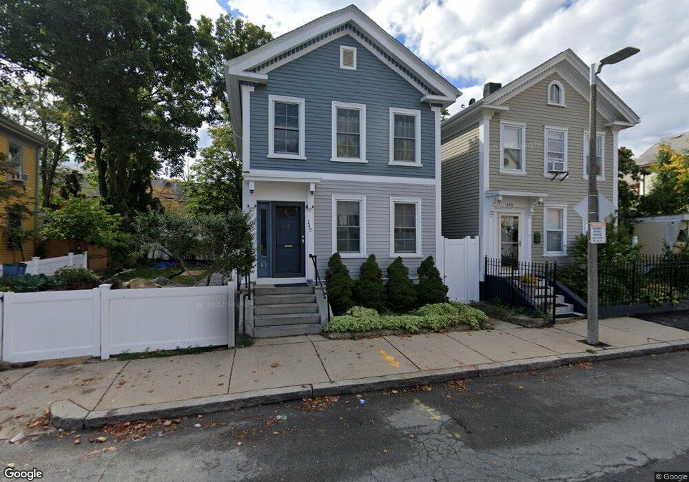
145 Eustis St Roxbury, MA 02119
Lower Roxbury NeighborhoodEstimated Value: $546,000 - $618,000
2
Beds
2
Baths
1,364
Sq Ft
$429/Sq Ft
Est. Value
About This Home
This home is located at 145 Eustis St, Roxbury, MA 02119 and is currently estimated at $584,494, approximately $428 per square foot. 145 Eustis St is a home located in Suffolk County with nearby schools including Dudley Street Neighborhood Charter School and City on a Hill Charter Public School.
Ownership History
Date
Name
Owned For
Owner Type
Purchase Details
Closed on
Jan 28, 1988
Sold by
Eustis St Tr 145
Bought by
Morrison Darrel N
Current Estimated Value
Home Financials for this Owner
Home Financials are based on the most recent Mortgage that was taken out on this home.
Original Mortgage
$15,000
Interest Rate
10.35%
Create a Home Valuation Report for This Property
The Home Valuation Report is an in-depth analysis detailing your home's value as well as a comparison with similar homes in the area
Home Values in the Area
Average Home Value in this Area
Purchase History
| Date | Buyer | Sale Price | Title Company |
|---|---|---|---|
| Morrison Darrel N | $100,000 | -- |
Source: Public Records
Mortgage History
| Date | Status | Borrower | Loan Amount |
|---|---|---|---|
| Open | Morrison Darrel N | $24,000 | |
| Closed | Morrison Darrel N | $15,000 | |
| Closed | Morrison Darrel N | $15,000 | |
| Closed | Morrison Darrel N | $80,000 |
Source: Public Records
Tax History Compared to Growth
Tax History
| Year | Tax Paid | Tax Assessment Tax Assessment Total Assessment is a certain percentage of the fair market value that is determined by local assessors to be the total taxable value of land and additions on the property. | Land | Improvement |
|---|---|---|---|---|
| 2025 | $5,638 | $486,900 | $156,300 | $330,600 |
| 2024 | $5,316 | $487,700 | $111,500 | $376,200 |
| 2023 | $4,894 | $455,700 | $111,500 | $344,200 |
| 2022 | $4,132 | $379,800 | $106,200 | $273,600 |
| 2021 | $3,859 | $361,700 | $101,100 | $260,600 |
| 2020 | $3,004 | $284,500 | $79,900 | $204,600 |
| 2019 | $2,803 | $265,900 | $64,500 | $201,400 |
| 2018 | $2,604 | $248,500 | $64,500 | $184,000 |
| 2017 | $2,411 | $227,700 | $64,500 | $163,200 |
| 2016 | $2,386 | $216,900 | $64,500 | $152,400 |
| 2015 | $2,141 | $176,800 | $71,100 | $105,700 |
| 2014 | $2,224 | $176,800 | $71,100 | $105,700 |
Source: Public Records
Map
Nearby Homes
- 250 Dudley St Unit 1
- 2 Mount Pleasant Place Unit 2
- 91 Zeigler St
- 10 Taber St Unit 501
- 108 Mount Pleasant Ave Unit 108R
- 101 Mount Pleasant Ave
- 2149 Washington St Unit 604
- 2149 Washington St Unit 610
- 20 Rockville Park
- 22 Rockville Park
- 32 Williams St Unit 1
- 92 George St Unit 203
- 24 Clarence St Unit 24R
- 877 Harrison Ave Unit 7
- 51 Saint James St
- 33 Copeland Park Unit C
- 37 Regent St Unit 2
- 705 Massachusetts Ave Unit 8
- 705 Massachusetts Ave Unit 6
- 30 Copeland St Unit 1
- 143 Eustis St
- 149 Eustis St
- 153 Eustis St
- 139 Eustis St
- 155 Eustis St
- 133 Eustis St
- 133 Eustis St Unit 2
- 133 Eustis St Unit 1
- 282 Dudley St Unit B16
- 282 Dudley St Unit B15
- 282 Dudley St Unit B14
- 282 Dudley St Unit B13
- 131 Eustis St
- 276 Dudley St Unit B11
- 276 Dudley St Unit B10
- 276 Dudley St Unit B9
- 276 Dudley St Unit 9
- 127 Eustis St
- 127 Eustis St Unit 2
- 127 Eustis St Unit 1