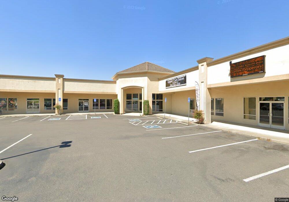
145 Myrtle St Sutherlin, OR 97479
Estimated Value: $2,213,157
--
Bed
--
Bath
15,021
Sq Ft
$147/Sq Ft
Est. Value
About This Home
This home is located at 145 Myrtle St, Sutherlin, OR 97479 and is currently estimated at $2,213,157, approximately $147 per square foot. 145 Myrtle St is a home located in Douglas County with nearby schools including East Sutherlin Primary School, West Sutherlin Intermediate School, and Sutherlin Middle School.
Ownership History
Date
Name
Owned For
Owner Type
Purchase Details
Closed on
Dec 14, 2021
Sold by
Oak Acre Farms Inc
Bought by
Sohal Development Llc
Current Estimated Value
Purchase Details
Closed on
Apr 4, 2007
Sold by
Johnson Donald R
Bought by
Southern Oregon Property Management Llc
Home Financials for this Owner
Home Financials are based on the most recent Mortgage that was taken out on this home.
Original Mortgage
$1,500,000
Interest Rate
6.23%
Mortgage Type
Unknown
Purchase Details
Closed on
Feb 20, 2007
Sold by
Gsc Properties Llc
Bought by
Oak Acre Farms Inc
Home Financials for this Owner
Home Financials are based on the most recent Mortgage that was taken out on this home.
Original Mortgage
$1,500,000
Interest Rate
6.23%
Mortgage Type
Unknown
Create a Home Valuation Report for This Property
The Home Valuation Report is an in-depth analysis detailing your home's value as well as a comparison with similar homes in the area
Home Values in the Area
Average Home Value in this Area
Purchase History
| Date | Buyer | Sale Price | Title Company |
|---|---|---|---|
| Sohal Development Llc | $1,935,000 | Cascade Title Co | |
| Southern Oregon Property Management Llc | -- | None Available | |
| Oak Acre Farms Inc | $4,124,500 | First American Title Ins Co |
Source: Public Records
Mortgage History
| Date | Status | Borrower | Loan Amount |
|---|---|---|---|
| Previous Owner | Oak Acre Farms Inc | $1,500,000 |
Source: Public Records
Tax History Compared to Growth
Tax History
| Year | Tax Paid | Tax Assessment Tax Assessment Total Assessment is a certain percentage of the fair market value that is determined by local assessors to be the total taxable value of land and additions on the property. | Land | Improvement |
|---|---|---|---|---|
| 2025 | $31,528 | $2,655,604 | $564,089 | $2,091,515 |
| 2024 | $22,675 | $1,895,555 | $394,468 | $1,501,087 |
| 2023 | $32,381 | $2,705,571 | $0 | $0 |
| 2022 | $27,190 | $2,270,974 | $0 | $0 |
| 2021 | $32,408 | $1,935,000 | $0 | $0 |
| 2020 | $15,830 | $1,329,138 | $0 | $0 |
| 2019 | $15,832 | $1,329,138 | $0 | $0 |
| 2018 | $17,126 | $517 | $0 | $0 |
| 2017 | $17,178 | $1,366,222 | $0 | $0 |
| 2016 | $16,321 | $1,297,938 | $0 | $0 |
| 2015 | $16,323 | $1,297,938 | $0 | $0 |
| 2014 | $28,914 | $2,300,182 | $0 | $0 |
| 2013 | -- | $2,700,000 | $0 | $0 |
Source: Public Records
Map
Nearby Homes
- 142 S Comstock Ave
- 165 Robinson St
- 181 SW Hutchins St
- 401 N Comstock Ave
- 1688 W Central Ave
- 324 Dakota St
- 1907 W Duke Rd
- 226 Miller St
- 220 Miller St
- 1660 Scardi Blvd
- 1716 Scardi Blvd Unit 174
- 135 Elkton St
- 126 Coles Valley St
- 154 Coles Valley St
- 149 Coles Valley St
- 702 Divot Loop
- 1878 Trails End Ln
- 811 Pebble Creek St
- 881 Medina Ave
- 575 Cedar St
- 145 Myrtle St Unit 1
- 145 W Myrtle Unit 1
- 1367 W Central Ave
- 133 Westwood St
- 1484 W Central Ave
- 1386 W Central Ave
- 0 Oregon 138
- 150 Myrtle St
- 1430 W Central Ave Unit 8
- 1430 W Central Ave Unit 1
- 1430 W Central Ave Unit SP11
- 1430 W Central Ave
- 1358 W Central Ave Unit 2
- 1305 W Central Ave
- 159 S Comstock Ave
- 157 S Comstock Ave
- 157 S Comstock Rd
- 155 S Comstock Ave
- 123 Ponderosa Dr
- 356 Myrtle St