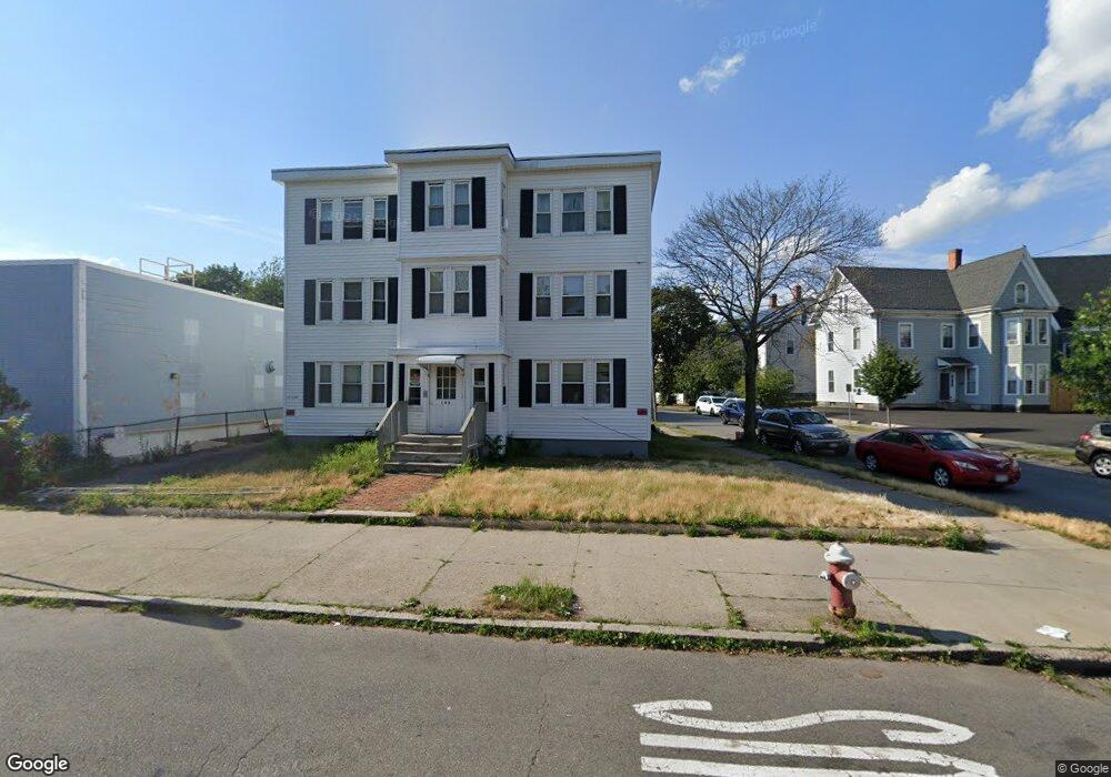
145 N Common St Unit 2 Lynn, MA 01905
Central Lynn NeighborhoodEstimated Value: $149,000 - $340,000
1
Bed
1
Bath
548
Sq Ft
$440/Sq Ft
Est. Value
About This Home
This home is located at 145 N Common St Unit 2, Lynn, MA 01905 and is currently estimated at $241,111, approximately $439 per square foot. 145 N Common St Unit 2 is a home located in Essex County with nearby schools including Cokato Elementary School, William P Connery Elementary School, and North Park Elementary School.
Ownership History
Date
Name
Owned For
Owner Type
Purchase Details
Closed on
Sep 15, 1993
Sold by
Citicorp Mtg Inc
Bought by
Sherman William A and Sherman Joan
Current Estimated Value
Purchase Details
Closed on
Jan 29, 1993
Sold by
Genard Gary C
Bought by
Citicorp Mtg Inc
Purchase Details
Closed on
Feb 9, 1989
Sold by
V & V Realty Trust
Bought by
Genard Gary C
Home Financials for this Owner
Home Financials are based on the most recent Mortgage that was taken out on this home.
Original Mortgage
$60,300
Interest Rate
10.73%
Mortgage Type
Purchase Money Mortgage
Create a Home Valuation Report for This Property
The Home Valuation Report is an in-depth analysis detailing your home's value as well as a comparison with similar homes in the area
Home Values in the Area
Average Home Value in this Area
Purchase History
| Date | Buyer | Sale Price | Title Company |
|---|---|---|---|
| Sherman William A | $10,100 | -- | |
| Citicorp Mtg Inc | $14,450 | -- | |
| Genard Gary C | $67,000 | -- |
Source: Public Records
Mortgage History
| Date | Status | Borrower | Loan Amount |
|---|---|---|---|
| Previous Owner | Genard Gary C | $60,300 |
Source: Public Records
Tax History Compared to Growth
Tax History
| Year | Tax Paid | Tax Assessment Tax Assessment Total Assessment is a certain percentage of the fair market value that is determined by local assessors to be the total taxable value of land and additions on the property. | Land | Improvement |
|---|---|---|---|---|
| 2025 | $1,256 | $121,200 | $0 | $121,200 |
| 2024 | $1,181 | $112,200 | $0 | $112,200 |
| 2023 | $1,124 | $100,800 | $0 | $100,800 |
| 2022 | $1,126 | $90,600 | $0 | $90,600 |
| 2021 | $1,119 | $85,900 | $0 | $85,900 |
| 2020 | $1,034 | $77,200 | $0 | $77,200 |
| 2019 | $982 | $68,700 | $0 | $68,700 |
| 2018 | $988 | $65,200 | $0 | $65,200 |
| 2017 | $928 | $59,500 | $0 | $59,500 |
| 2016 | $921 | $56,900 | $0 | $56,900 |
| 2015 | $843 | $50,300 | $0 | $50,300 |
Source: Public Records
Map
Nearby Homes
- 121 N Common St
- 66 Harwood St
- 140 S Common St
- 43 Baker St
- 20 Huss Ct Unit 105
- 662-664 Western Ave
- 69 N Common St
- 693 Western Ave Unit 101
- 108 Franklin St
- 39 Centre St
- 93 Franklin St
- 99 Franklin St
- 50 S Common St Unit 104
- 81A Franklin St
- 103 Warren St
- 274 Boston St
- 121 Johnson St Unit 3L
- 40 Grove St
- 10 Pleasant St Unit 202
- 75 Grove St
- 145 N Common St Unit 6
- 145 N Common St Unit 5
- 145 N Common St Unit 4
- 145 N Common St Unit 3
- 145 N Common St Unit 1
- 13 Park St
- 13 Park St Unit 2
- 20 Park St
- 20 Park St Unit 20
- 20 Park St Unit 17
- 20 Park St Unit 27
- 20 Park St Unit 10
- 131 N Common St Unit D
- 131 N Common St Unit C
- 131 N Common St Unit B
- 131 N Common St Unit A
- 131 N Common St Unit 1
- 131 N Common St Unit 4
- 131 N Common St Unit 2
- 17 Park St