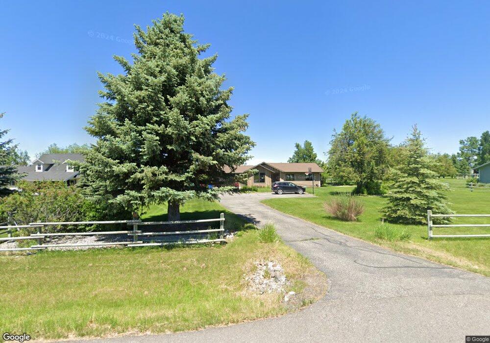
145 N Pheasant Dr Bozeman, MT 59718
Estimated Value: $1,106,000 - $1,610,000
3
Beds
2
Baths
1,640
Sq Ft
$781/Sq Ft
Est. Value
About This Home
This home is located at 145 N Pheasant Dr, Bozeman, MT 59718 and is currently estimated at $1,281,607, approximately $781 per square foot. 145 N Pheasant Dr is a home located in Gallatin County with nearby schools including Anderson Elementary School, Anderson Junior High School, and Gallatin High School.
Ownership History
Date
Name
Owned For
Owner Type
Purchase Details
Closed on
Jul 21, 2010
Sold by
Binstock Michlle and Kattge Michelle L
Bought by
Norick Storm Allan and Norick Kerri Budeski
Current Estimated Value
Home Financials for this Owner
Home Financials are based on the most recent Mortgage that was taken out on this home.
Original Mortgage
$267,399
Outstanding Balance
$174,550
Interest Rate
4.68%
Mortgage Type
FHA
Estimated Equity
$1,107,057
Create a Home Valuation Report for This Property
The Home Valuation Report is an in-depth analysis detailing your home's value as well as a comparison with similar homes in the area
Purchase History
| Date | Buyer | Sale Price | Title Company |
|---|---|---|---|
| Norick Storm Allan | -- | American Land Title Company |
Source: Public Records
Mortgage History
| Date | Status | Borrower | Loan Amount |
|---|---|---|---|
| Open | Norick Storm Allan | $267,399 |
Source: Public Records
Map
Nearby Homes
- NHN Pheasant Dr
- TBD Doney Way
- 65 Cougar Dr
- 9000 S 19th Ave
- 0 Hyalite Canyon Rd
- 118 Robert Ct
- 15 Forest Creek Dr
- 779 Cayuse Trail
- 10400 Hyalite Canyon Rd
- 151 Clancy Way
- 520 Balsam Dr
- 220 Cayuse Trail
- 31 Haystack Dr
- 31 Cayuse Trail
- 657 Hyalite View Dr
- Lot 2 Mollys Way
- Lot 35 Cole Ct
- Lot 29 Hartshorn Rd
- 13011 Cottonwood Canyon Rd
- Lot 30 Glendale Loop
- 145 Pheasant Trail
- 158 N Pheasant Dr
- 115 N Pheasant Dr
- 207 N Pheasant Dr
- 190 N Pheasant Dr
- 93 N Pheasant Dr
- 106 N Pheasant Dr
- 195 Mountain Aire Ln
- 68 Owl Way
- 82 Owl Way
- 142 Bluebird Dr
- 126 Bluebird Dr
- 249 Starling Dr
- 170 Mountain Aire Ln
- 301 Starling Dr
- 149 Starling Dr
- 92 Bluebird Dr
- 103 Starling Dr
- 389 Starling Dr
- 81 Owl Way
Your Personal Tour Guide
Ask me questions while you tour the home.