145 Oak Bend Rd Kaiser, MI 65047
Estimated Value: $285,137 - $332,000
4
Beds
2
Baths
2,112
Sq Ft
$145/Sq Ft
Est. Value
About This Home
This home is located at 145 Oak Bend Rd, Kaiser, MI 65047 and is currently estimated at $306,784, approximately $145 per square foot. 145 Oak Bend Rd is a home located in Miller County with nearby schools including Heritage Elementary School, Osage Upper Elementary School, and Osage Middle School.
Ownership History
Date
Name
Owned For
Owner Type
Purchase Details
Closed on
Jul 17, 2025
Sold by
Gallegos Gregory J and Gallegos Erin
Bought by
Brown & Stone Enterprise Llc
Current Estimated Value
Home Financials for this Owner
Home Financials are based on the most recent Mortgage that was taken out on this home.
Original Mortgage
$300,000
Outstanding Balance
$299,491
Interest Rate
6.84%
Mortgage Type
Credit Line Revolving
Estimated Equity
$7,293
Purchase Details
Closed on
Mar 21, 2022
Sold by
Badolato Donna F and Badolato Michael
Bought by
Colorado Development And Investment Llc
Purchase Details
Closed on
Aug 20, 2009
Sold by
Jacob Intersts Llc
Bought by
Paull Eugene and Paull Sharon
Create a Home Valuation Report for This Property
The Home Valuation Report is an in-depth analysis detailing your home's value as well as a comparison with similar homes in the area
Purchase History
| Date | Buyer | Sale Price | Title Company |
|---|---|---|---|
| Brown & Stone Enterprise Llc | -- | Great American Title | |
| Brown & Stone Enterprise Llc | -- | Great American Title | |
| Colorado Development And Investment Llc | -- | New Title Company Name | |
| Paull Eugene | -- | None Available |
Source: Public Records
Mortgage History
| Date | Status | Borrower | Loan Amount |
|---|---|---|---|
| Open | Brown & Stone Enterprise Llc | $300,000 | |
| Closed | Brown & Stone Enterprise Llc | $300,000 |
Source: Public Records
Tax History
| Year | Tax Paid | Tax Assessment Tax Assessment Total Assessment is a certain percentage of the fair market value that is determined by local assessors to be the total taxable value of land and additions on the property. | Land | Improvement |
|---|---|---|---|---|
| 2025 | $694 | $14,970 | $1,200 | $13,770 |
| 2024 | $334 | $7,160 | $1,090 | $6,070 |
| 2023 | $343 | $7,160 | $1,090 | $6,070 |
| 2022 | $344 | $7,160 | $1,090 | $6,070 |
| 2021 | $344 | $7,160 | $1,090 | $6,070 |
| 2020 | $321 | $6,570 | $1,090 | $5,480 |
| 2019 | $321 | $6,570 | $1,090 | $5,480 |
| 2018 | $324 | $6,570 | $1,090 | $5,480 |
| 2017 | $301 | $6,630 | $1,050 | $5,580 |
| 2016 | $296 | $6,630 | $0 | $0 |
| 2015 | -- | $6,630 | $0 | $0 |
| 2012 | -- | $12,310 | $0 | $0 |
Source: Public Records
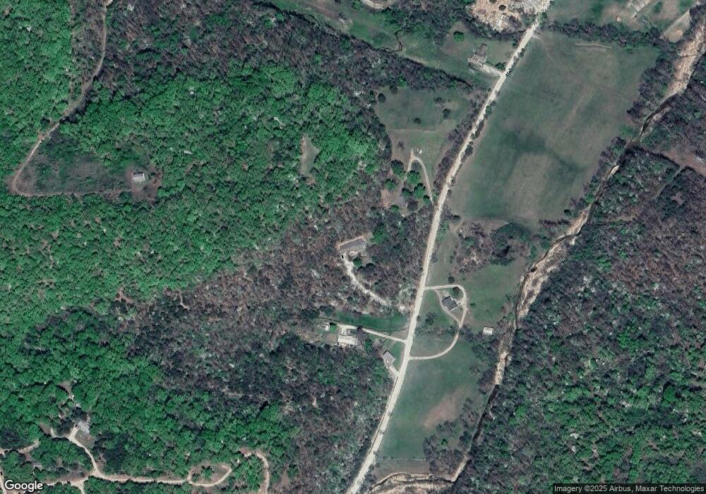
Map
Nearby Homes
- 765 College Blvd
- 749 Highway D
- 12 Avery Dr
- TBD Scottish Landing Rd
- F Osage Beach Pkwy
- 175 Highway D
- 21 Winston Ln
- Tract C Hwy 242
- 3 Mary Dr
- 6 Sam Dr
- 4 Kathleen Ct
- 12 Sam Dr
- Tract E Hwy 242
- TBD Hwy 54
- Lot 24 Forrest Hills Acres
- Xxx Campbell Acres
- 0 Holiday Shores Dr
- Lot 26, 27 and 29 Forrest Hills Acres
- 150 Forrest Hills Dr
- 4194 Holiday Shores Dr Unit 18
Your Personal Tour Guide
Ask me questions while you tour the home.