145 Pheasant Ridge Dr Montrose, MN 55363
Estimated Value: $312,286 - $373,000
3
Beds
2
Baths
1,012
Sq Ft
$326/Sq Ft
Est. Value
About This Home
This home is located at 145 Pheasant Ridge Dr, Montrose, MN 55363 and is currently estimated at $329,572, approximately $325 per square foot. 145 Pheasant Ridge Dr is a home located in Wright County with nearby schools including Montrose Elementary School, Buffalo Community Middle School, and Buffalo Senior High School.
Ownership History
Date
Name
Owned For
Owner Type
Purchase Details
Closed on
Aug 8, 2025
Sold by
Brookbank Nicholas and Brookbank Heather
Bought by
Johnson Mattie and Labat Tristan
Current Estimated Value
Home Financials for this Owner
Home Financials are based on the most recent Mortgage that was taken out on this home.
Original Mortgage
$323,000
Outstanding Balance
$322,718
Interest Rate
6.67%
Mortgage Type
New Conventional
Estimated Equity
$6,854
Purchase Details
Closed on
Feb 27, 2006
Sold by
Jansen Construction Inc
Bought by
Veach Jocelyn R and Platisha Bryan J
Purchase Details
Closed on
Apr 30, 2003
Sold by
Trison Development Inc
Bought by
Jensen Construction Inc
Create a Home Valuation Report for This Property
The Home Valuation Report is an in-depth analysis detailing your home's value as well as a comparison with similar homes in the area
Home Values in the Area
Average Home Value in this Area
Purchase History
| Date | Buyer | Sale Price | Title Company |
|---|---|---|---|
| Johnson Mattie | $340,000 | Title Team | |
| Veach Jocelyn R | $184,900 | -- | |
| Jensen Construction Inc | $138,500 | -- |
Source: Public Records
Mortgage History
| Date | Status | Borrower | Loan Amount |
|---|---|---|---|
| Open | Johnson Mattie | $323,000 |
Source: Public Records
Tax History Compared to Growth
Tax History
| Year | Tax Paid | Tax Assessment Tax Assessment Total Assessment is a certain percentage of the fair market value that is determined by local assessors to be the total taxable value of land and additions on the property. | Land | Improvement |
|---|---|---|---|---|
| 2025 | $3,468 | $291,900 | $65,000 | $226,900 |
| 2024 | $3,330 | $283,400 | $65,000 | $218,400 |
| 2023 | $3,400 | $296,800 | $81,000 | $215,800 |
| 2022 | $3,140 | $279,000 | $72,000 | $207,000 |
| 2021 | $2,998 | $224,700 | $40,000 | $184,700 |
| 2020 | $2,870 | $210,900 | $35,000 | $175,900 |
| 2019 | $2,552 | $199,000 | $0 | $0 |
| 2018 | $2,294 | $164,500 | $0 | $0 |
| 2017 | $2,090 | $148,500 | $0 | $0 |
| 2016 | $1,984 | $0 | $0 | $0 |
| 2015 | $1,942 | $0 | $0 | $0 |
| 2014 | -- | $0 | $0 | $0 |
Source: Public Records
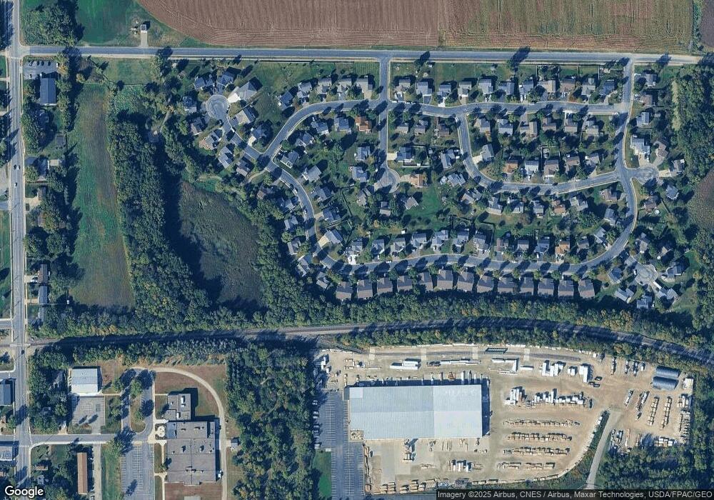
Map
Nearby Homes
- 150 Pheasant Ridge Dr
- 137 Pheasant Ridge Dr
- 301 Center Ave S
- 426 Dillon Ave N
- 161 Mindy Ln Unit 9
- 149 Mindy Ln
- 610 Emerson Ave N
- 517 2nd St S
- 703 7th St N
- 305 Garfield Ave S
- 726 7th St N
- 684 Aspen Ln
- 643 Fieldcrest Ave N
- 683 Aspen Ln
- 690 Aspen Ln
- 685 Aspen Ln
- 645 Fieldcrest Ave N
- 687 Aspen Ln
- 692 Aspen Ln
- 689 Aspen Ln
- 139 Pheasant Ridge Dr
- 157 Pheasant Ridge Dr
- 207 Pheasant Run Dr
- 206 Pheasant Run Dr
- 148 Pheasant Ridge Dr
- 146 Pheasant Ridge Dr
- 152 Pheasant Ridge Dr
- 144 Pheasant Ridge Dr
- 142 Pheasant Ridge Dr
- 154 Pheasant Ridge Dr
- 140 Pheasant Ridge Dr
- 156 Pheasant Ridge Dr
- 135 Pheasant Ridge Dr
- 161 Pheasant Ridge Dr
- 138 Pheasant Ridge Dr
- 158 Pheasant Ridge Dr
- 205 Pheasant Run Dr
- 204 Pheasant Run Dr
- 136 Pheasant Ridge Dr
- 160 Pheasant Ridge Dr