145 Pikes Point Rd Bristol, NH 03222
Estimated Value: $1,063,000 - $2,180,000
3
Beds
3
Baths
2,754
Sq Ft
$598/Sq Ft
Est. Value
About This Home
This home is located at 145 Pikes Point Rd, Bristol, NH 03222 and is currently estimated at $1,647,268, approximately $598 per square foot. 145 Pikes Point Rd is a home with nearby schools including Bristol Elementary School.
Ownership History
Date
Name
Owned For
Owner Type
Purchase Details
Closed on
Feb 26, 2016
Sold by
Lamarche Philip K
Bought by
Philip K Lamarche Ret and Lamarche Philip K
Current Estimated Value
Purchase Details
Closed on
Jan 8, 2016
Sold by
Carol L Lamarche Ret and Lamarche Philip K
Bought by
Lamarche Philip K
Create a Home Valuation Report for This Property
The Home Valuation Report is an in-depth analysis detailing your home's value as well as a comparison with similar homes in the area
Home Values in the Area
Average Home Value in this Area
Purchase History
| Date | Buyer | Sale Price | Title Company |
|---|---|---|---|
| Philip K Lamarche Ret | -- | -- | |
| Lamarche Philip K | -- | -- |
Source: Public Records
Mortgage History
| Date | Status | Borrower | Loan Amount |
|---|---|---|---|
| Previous Owner | Lamarche Philip K | $50,000 |
Source: Public Records
Tax History Compared to Growth
Tax History
| Year | Tax Paid | Tax Assessment Tax Assessment Total Assessment is a certain percentage of the fair market value that is determined by local assessors to be the total taxable value of land and additions on the property. | Land | Improvement |
|---|---|---|---|---|
| 2024 | $20,448 | $865,700 | $619,000 | $246,700 |
| 2023 | $19,695 | $865,700 | $619,000 | $246,700 |
| 2022 | $18,310 | $872,300 | $619,000 | $253,300 |
| 2021 | $17,629 | $872,300 | $619,000 | $253,300 |
| 2020 | $19,066 | $921,500 | $668,200 | $253,300 |
| 2019 | $16,320 | $715,800 | $493,000 | $222,800 |
| 2018 | $15,604 | $715,800 | $493,000 | $222,800 |
| 2017 | $15,841 | $715,800 | $493,000 | $222,800 |
| 2016 | $14,760 | $715,800 | $493,000 | $222,800 |
| 2015 | $12,925 | $642,100 | $408,800 | $233,300 |
| 2014 | $12,925 | $642,100 | $408,800 | $233,300 |
| 2013 | $12,958 | $642,100 | $408,800 | $233,300 |
Source: Public Records
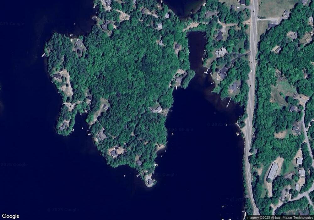
Map
Nearby Homes
- 26 Don Gerry Rd
- 35 Manor Estates Dr Unit 14
- 50 Browns Beach Rd
- 199 Cottage City Rd
- 94 Mandi Ln
- 420 Wulamat Rd
- 400 Wulamat Rd
- 383 Wulamat Rd
- 80 Ridge Rd
- 326 Wulamat Rd
- 837 Lake St
- 45 Grandview Dr Unit 3
- 29 Pasquaney Ln Unit 10
- 29 Mollie Rd
- 17 Village Dr W Unit 11
- 10 & 20 North Rd
- 275 Shore Dr N
- 711 W Shore Rd
- 30 Beech St Unit 4C
- 30 Beech St Unit 1B
- 105 Pikes Point Rd
- 174 & 187 Pikes Point Rd
- 185 Pikes Point Rd
- 226 Pikes Point Rd
- 193 Pikes Point Rd
- 201 Pikes Point Rd
- 189 Pikes Point Rd
- 45 Pikes Point Rd
- 100 Pikes Point Rd
- 240 Pikes Point Rd
- 255 Pikes Point Rd
- 265 Pikes Point Rd
- 265 Pikes Point Rd
- 1731 Lake St
- 174 Pikes Point Rd
- 1700 Lake St
- 1733 Lake St
- 10 Pikes Point Rd Unit 10
- 10 Pikes Point Rd Unit R
- 10 Pikes Point Rd