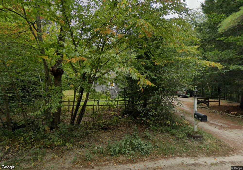
145 Pond Rd New Gloucester, ME 04260
Estimated Value: $366,000 - $411,000
3
Beds
1
Bath
1,512
Sq Ft
$258/Sq Ft
Est. Value
About This Home
This home is located at 145 Pond Rd, New Gloucester, ME 04260 and is currently estimated at $389,654, approximately $257 per square foot. 145 Pond Rd is a home located in Cumberland County with nearby schools including Gray-New Gloucester High School.
Ownership History
Date
Name
Owned For
Owner Type
Purchase Details
Closed on
May 15, 2015
Sold by
Comeau Thomas M and Mahoney Maya M
Bought by
Comeau Joseph D and Comeau Thomas
Current Estimated Value
Purchase Details
Closed on
Aug 20, 2009
Sold by
Ross Bradford N and Groves-Ross Elizabeth
Bought by
Comeau Thomas M and Comeau Joseph D
Home Financials for this Owner
Home Financials are based on the most recent Mortgage that was taken out on this home.
Original Mortgage
$139,500
Outstanding Balance
$90,116
Interest Rate
5.19%
Mortgage Type
Unknown
Estimated Equity
$299,538
Create a Home Valuation Report for This Property
The Home Valuation Report is an in-depth analysis detailing your home's value as well as a comparison with similar homes in the area
Home Values in the Area
Average Home Value in this Area
Purchase History
| Date | Buyer | Sale Price | Title Company |
|---|---|---|---|
| Comeau Joseph D | -- | -- | |
| Comeau Thomas M | -- | -- |
Source: Public Records
Mortgage History
| Date | Status | Borrower | Loan Amount |
|---|---|---|---|
| Open | Comeau Thomas M | $139,500 |
Source: Public Records
Tax History Compared to Growth
Tax History
| Year | Tax Paid | Tax Assessment Tax Assessment Total Assessment is a certain percentage of the fair market value that is determined by local assessors to be the total taxable value of land and additions on the property. | Land | Improvement |
|---|---|---|---|---|
| 2025 | $2,554 | $165,066 | $78,484 | $86,582 |
| 2024 | $2,458 | $165,066 | $78,484 | $86,582 |
| 2023 | $2,359 | $165,066 | $78,484 | $86,582 |
| 2022 | $2,278 | $165,066 | $78,484 | $86,582 |
| 2021 | $2,278 | $165,066 | $78,484 | $86,582 |
| 2020 | $2,253 | $165,066 | $78,484 | $86,582 |
| 2019 | $2,505 | $148,200 | $77,800 | $70,400 |
| 2018 | $2,342 | $148,200 | $77,800 | $70,400 |
| 2017 | $2,312 | $148,200 | $77,800 | $70,400 |
| 2016 | $2,179 | $148,200 | $77,800 | $70,400 |
| 2015 | $2,171 | $148,200 | $77,800 | $70,400 |
| 2014 | $2,149 | $148,200 | $77,800 | $70,400 |
| 2013 | $1,993 | $148,200 | $77,800 | $70,400 |
Source: Public Records
Map
Nearby Homes
- 423 Sabbathday Rd
- 14 Golden Way
- 00 N Shore Rd
- 148 Spiller Hill Rd
- 24 Swamp Rd
- 80 Spiller Hill Rd
- 343 Shaker Rd
- TBD Targett Rd
- 15 May Meadow Dr
- 271 Bennett Rd
- 4 Chelsey Ln
- 157 Egypt Rd
- 22 Shaw Rd
- 0 Gladstone Dr Unit 1642697
- 255 Raymond Hill Rd
- 4 Colonial Dr
- 26 Carpenter Rd
- 74 May Meadow Dr
- 161 Beaver Dam Dr
- 21 Westwood Rd