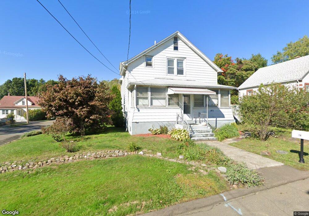
145 Rangely St West Haven, CT 06516
Allingtown NeighborhoodEstimated Value: $303,043 - $394,000
2
Beds
2
Baths
1,329
Sq Ft
$254/Sq Ft
Est. Value
About This Home
This home is located at 145 Rangely St, West Haven, CT 06516 and is currently estimated at $338,011, approximately $254 per square foot. 145 Rangely St is a home located in New Haven County with nearby schools including Carrigan 5/6 Intermediate School, Harry M. Bailey Middle School, and West Haven High School.
Ownership History
Date
Name
Owned For
Owner Type
Purchase Details
Closed on
Jan 8, 2003
Sold by
B F B Properties Llc
Bought by
Locke Jeffrey H
Current Estimated Value
Home Financials for this Owner
Home Financials are based on the most recent Mortgage that was taken out on this home.
Original Mortgage
$135,000
Outstanding Balance
$58,305
Interest Rate
6.19%
Mortgage Type
Purchase Money Mortgage
Estimated Equity
$279,706
Create a Home Valuation Report for This Property
The Home Valuation Report is an in-depth analysis detailing your home's value as well as a comparison with similar homes in the area
Home Values in the Area
Average Home Value in this Area
Purchase History
| Date | Buyer | Sale Price | Title Company |
|---|---|---|---|
| Locke Jeffrey H | $150,000 | -- | |
| Locke Jeffrey H | $150,000 | -- |
Source: Public Records
Mortgage History
| Date | Status | Borrower | Loan Amount |
|---|---|---|---|
| Open | Locke Jeffrey H | $135,000 | |
| Closed | Locke Jeffrey H | $135,000 |
Source: Public Records
Tax History Compared to Growth
Tax History
| Year | Tax Paid | Tax Assessment Tax Assessment Total Assessment is a certain percentage of the fair market value that is determined by local assessors to be the total taxable value of land and additions on the property. | Land | Improvement |
|---|---|---|---|---|
| 2025 | $5,730 | $168,490 | $60,130 | $108,360 |
| 2024 | $5,159 | $107,730 | $41,650 | $66,080 |
| 2023 | $5,001 | $107,730 | $41,650 | $66,080 |
| 2022 | $4,914 | $107,730 | $41,650 | $66,080 |
| 2021 | $4,915 | $107,730 | $41,650 | $66,080 |
| 2020 | $4,748 | $92,190 | $33,600 | $58,590 |
| 2019 | $4,674 | $92,190 | $33,600 | $58,590 |
| 2018 | $4,547 | $92,190 | $33,600 | $58,590 |
| 2017 | $4,405 | $92,190 | $33,600 | $58,590 |
| 2016 | $4,271 | $92,190 | $33,600 | $58,590 |
| 2015 | $4,284 | $105,280 | $37,310 | $67,970 |
| 2014 | $4,199 | $105,280 | $37,310 | $67,970 |
Source: Public Records
Map
Nearby Homes
- 100 Yates St
- 0 Burwell & Woodfield Rd Unit 24051262
- 0 Burwell Rd
- 78 Nonquit St
- 50 Morris Ave
- 36 Forest Hills Rd
- 29 Birch St
- 52 Highview Ave
- 60 Andrews St
- 38 Chauncey St
- 11 Priscilla Rd
- 265 Tuthill St
- 846 Beechwood Rd
- 57 Dalton St
- 690 Forest Rd Unit 702
- 690 Forest Rd Unit 392
- 690 Forest Rd Unit 511
- 81 Homeside Ave
- 65 Westfield St
- 588 Summit Dr