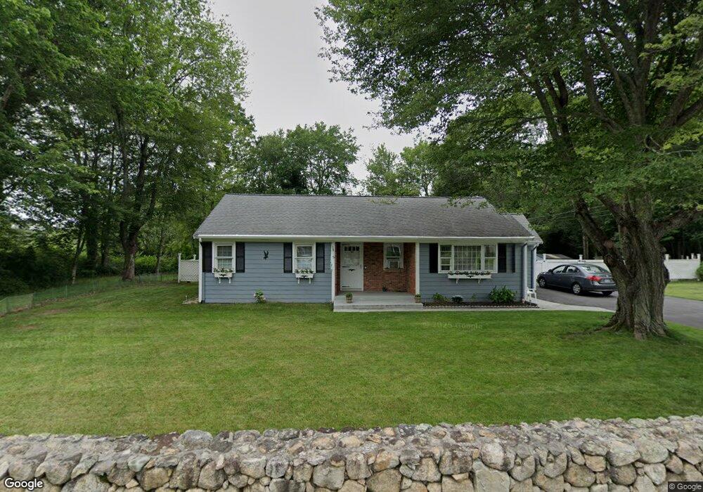
145 Robert St Westport, MA 02790
Sawdy Pond/Woods Corner NeighborhoodEstimated Value: $414,191 - $628,000
3
Beds
--
Bath
984
Sq Ft
$509/Sq Ft
Est. Value
About This Home
This home is located at 145 Robert St, Westport, MA 02790 and is currently estimated at $501,298, approximately $509 per square foot. 145 Robert St is a home located in Bristol County with nearby schools including Alice A. Macomber Primary School, Westport Elementary School, and Westport Middle-High School.
Ownership History
Date
Name
Owned For
Owner Type
Purchase Details
Closed on
Sep 13, 1983
Bought by
Dosreis William
Current Estimated Value
Create a Home Valuation Report for This Property
The Home Valuation Report is an in-depth analysis detailing your home's value as well as a comparison with similar homes in the area
Home Values in the Area
Average Home Value in this Area
Purchase History
| Date | Buyer | Sale Price | Title Company |
|---|---|---|---|
| Dosreis William | $48,000 | -- |
Source: Public Records
Mortgage History
| Date | Status | Borrower | Loan Amount |
|---|---|---|---|
| Closed | Dosreis William | $18,000 | |
| Closed | Dosreis William | $5,000 |
Source: Public Records
Tax History
| Year | Tax Paid | Tax Assessment Tax Assessment Total Assessment is a certain percentage of the fair market value that is determined by local assessors to be the total taxable value of land and additions on the property. | Land | Improvement |
|---|---|---|---|---|
| 2025 | $2,713 | $364,100 | $195,200 | $168,900 |
| 2024 | $2,685 | $347,400 | $180,800 | $166,600 |
| 2023 | $2,259 | $276,800 | $152,400 | $124,400 |
| 2022 | $2,132 | $251,400 | $145,700 | $105,700 |
| 2021 | $2,053 | $238,200 | $132,500 | $105,700 |
| 2020 | $1,914 | $227,100 | $121,400 | $105,700 |
| 2019 | $1,850 | $223,700 | $121,400 | $102,300 |
| 2018 | $1,618 | $198,100 | $122,500 | $75,600 |
| 2017 | $1,566 | $196,500 | $122,500 | $74,000 |
| 2016 | $1,523 | $192,500 | $122,500 | $70,000 |
| 2015 | $1,465 | $184,700 | $122,500 | $62,200 |
Source: Public Records
Map
Nearby Homes
- 179 Robert St
- 47 Robert St
- 40 Sycamore Ln
- 33 Moniz Dr
- 2 Magnolia Ln
- 8 Campion Ave
- 24 Cala Ave
- 218 American Legion Hwy
- 214 Sawdy Dr
- 329 Tickle Rd
- 374 Crandall Rd
- 24 Greenfield Rd
- 10 Elise Michelle Way
- 259 Tickle Rd
- 45 Greenfield Rd
- 6 Angel Ct
- 1023 Old Stafford Rd
- 47 Devol Ave
- 105 Florence St
- 0 Tickle Rd Unit 73453134
- 138 Robert St Unit 140
- 156 Robert St
- 134 Robert St
- 153 Robert St
- 157 Robert St
- 162 Robert St
- 122 Robert St Unit 124
- 118 Robert St Unit B
- 163 Robert St
- 116 Robert St Unit 118
- 116-118 Robert St
- 168 Robert St
- 110 Robert St Unit A 110
- 110 Robert St
- 112 Robert St
- 112 Robert St Unit B
- 165 Robert St
- 106 Robert St Unit 108
- 169 Robert St
- 175 Robert St
Your Personal Tour Guide
Ask me questions while you tour the home.