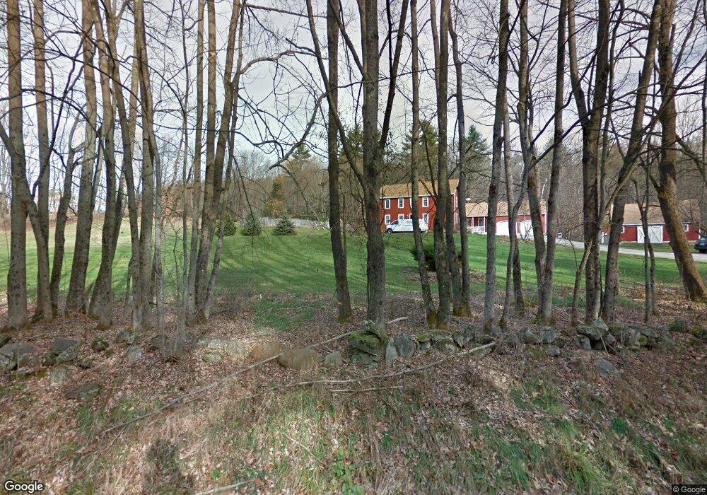
145 Scoby Pt Ln Francestown, NH 03043
Estimated Value: $326,000 - $410,582
2
Beds
2
Baths
727
Sq Ft
$493/Sq Ft
Est. Value
About This Home
This home is located at 145 Scoby Pt Ln, Francestown, NH 03043 and is currently estimated at $358,646, approximately $493 per square foot. 145 Scoby Pt Ln is a home with nearby schools including Francestown Elementary School, Great Brook School, and Conval Regional High School.
Ownership History
Date
Name
Owned For
Owner Type
Purchase Details
Closed on
Dec 12, 2023
Sold by
Sara Dole Harris 2023 Ret and Harris
Bought by
Harris Michael E
Current Estimated Value
Purchase Details
Closed on
Mar 16, 2023
Sold by
Harris Sara D
Bought by
Sara D Harris 2023 Ret and Harris
Purchase Details
Closed on
May 23, 2014
Sold by
Harris Wayland K
Bought by
Harris Wayland K and Harris Sara D
Create a Home Valuation Report for This Property
The Home Valuation Report is an in-depth analysis detailing your home's value as well as a comparison with similar homes in the area
Home Values in the Area
Average Home Value in this Area
Purchase History
| Date | Buyer | Sale Price | Title Company |
|---|---|---|---|
| Harris Michael E | -- | None Available | |
| Harris Michael E | -- | None Available | |
| Sara D Harris 2023 Ret | -- | None Available | |
| Sara D Harris 2023 Ret | -- | None Available | |
| Harris Wayland K | -- | -- | |
| Harris Wayland K | -- | -- | |
| Harris Wayland K | -- | -- |
Source: Public Records
Tax History Compared to Growth
Tax History
| Year | Tax Paid | Tax Assessment Tax Assessment Total Assessment is a certain percentage of the fair market value that is determined by local assessors to be the total taxable value of land and additions on the property. | Land | Improvement |
|---|---|---|---|---|
| 2024 | $5,020 | $312,600 | $235,100 | $77,500 |
| 2023 | $4,859 | $174,300 | $135,600 | $38,700 |
| 2022 | $4,504 | $174,300 | $135,600 | $38,700 |
| 2021 | $4,274 | $174,300 | $135,600 | $38,700 |
| 2020 | $4,507 | $174,300 | $135,600 | $38,700 |
| 2019 | $4,213 | $174,300 | $135,600 | $38,700 |
| 2018 | $3,792 | $141,800 | $113,200 | $28,600 |
| 2017 | $3,522 | $141,800 | $113,200 | $28,600 |
| 2016 | $3,617 | $141,800 | $113,200 | $28,600 |
| 2015 | $3,572 | $141,800 | $113,200 | $28,600 |
| 2014 | $3,554 | $141,800 | $113,200 | $28,600 |
| 2013 | $3,231 | $141,900 | $113,200 | $28,700 |
Source: Public Records
Map
Nearby Homes
- Lot 2 Journeys End Rd
- Lot 3 Journeys End Rd
- Lot 1-50-1 Colburn Rd
- 133 Hay Hill Rd
- 0 Woodward Hill Rd Unit LOT B 4984898
- 0 Woodward Hill Rd Unit LOT E 4984900
- 252 Clark Hill Rd
- 3 Old County Rd S
- 136 Main St
- 0 Bible Hill Extension Unit 1
- Lot 5 - 77 Poor Farm Rd
- 305 King Hill Rd
- 54 Briar Hill Rd
- 256 Middle Branch Rd
- 1 Old Coach Rd
- 200 Mountain Rd
- 16 Meetinghouse Hill Rd
- 1 Cemetery Rd
- 179 Oak Hill Rd
- 171 S Hill Rd
- 151 Scoby Pt Ln
- 169 Scoby Pt Ln
- 185 Scoby Pt Ln
- 94 Dodge Hill Rd
- 270 Scoby Rd
- Lot 6-72 Scoby Rd
- 117 Dodge Hill Rd
- 278 Scoby Rd
- 154 Dodge Hill Rd
- 277 Scoby Rd
- 280 Scoby Rd
- 141 Dodge Hill Rd
- 166 Dodge Hill Rd
- 0 Scoby Point Ln
- 148 Scoby Rd
- 453 Scoby Rd
- 345 Scoby Rd
- 240 Dodge Hill Rd
- 195 Scoby Wood Ln
- 193 Scoby Wood Ln