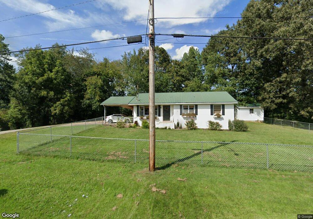
145 W Brooklyn St Linden, TN 37096
Estimated Value: $103,000 - $235,000
--
Bed
1
Bath
1,182
Sq Ft
$128/Sq Ft
Est. Value
About This Home
This home is located at 145 W Brooklyn St, Linden, TN 37096 and is currently estimated at $151,762, approximately $128 per square foot. 145 W Brooklyn St is a home located in Perry County.
Ownership History
Date
Name
Owned For
Owner Type
Purchase Details
Closed on
Apr 13, 2018
Sold by
Andrews Mitchell Paul and Whitt Amber Michelle
Bought by
Courter Aaron and Courter Mallory
Current Estimated Value
Purchase Details
Closed on
Jun 28, 2010
Sold by
Andrews Mike
Bought by
Andrews Mitchell Paul
Purchase Details
Closed on
Oct 15, 2003
Bought by
Andrews Mike
Purchase Details
Closed on
Nov 26, 2002
Bought by
Hufstedler Audra
Create a Home Valuation Report for This Property
The Home Valuation Report is an in-depth analysis detailing your home's value as well as a comparison with similar homes in the area
Home Values in the Area
Average Home Value in this Area
Purchase History
| Date | Buyer | Sale Price | Title Company |
|---|---|---|---|
| Courter Aaron | $58,000 | None Available | |
| Andrews Mitchell Paul | -- | -- | |
| Andrews Mike | $55,500 | -- | |
| Hufstedler Audra | $55,000 | -- | |
| Andrews Mitchell Paul | -- | -- |
Source: Public Records
Tax History Compared to Growth
Tax History
| Year | Tax Paid | Tax Assessment Tax Assessment Total Assessment is a certain percentage of the fair market value that is determined by local assessors to be the total taxable value of land and additions on the property. | Land | Improvement |
|---|---|---|---|---|
| 2025 | $435 | $15,550 | $0 | $0 |
| 2024 | $435 | $15,550 | $1,500 | $14,050 |
| 2023 | $357 | $15,550 | $1,500 | $14,050 |
| 2022 | $435 | $15,550 | $1,500 | $14,050 |
| 2021 | $435 | $15,550 | $1,500 | $14,050 |
| 2020 | $357 | $15,550 | $1,500 | $14,050 |
| 2019 | $462 | $15,475 | $1,500 | $13,975 |
| 2018 | $462 | $15,475 | $1,500 | $13,975 |
| 2017 | $457 | $15,475 | $1,500 | $13,975 |
| 2016 | $457 | $15,475 | $1,500 | $13,975 |
| 2015 | $450 | $15,475 | $1,500 | $13,975 |
| 2014 | $450 | $15,475 | $1,500 | $13,975 |
| 2013 | $461 | $15,886 | $0 | $0 |
Source: Public Records
Map
Nearby Homes
- 122 Shelton St
- 218 Cedar Ave
- 141 Maple St
- 245 S Mill St
- 0 Church St
- 130 Elm Ln
- 0 Treadwell Prong Unit RTC2707562
- 628 Starlight Dr
- 8884 U S Highway 412
- 107 Possum Trot Ln
- Lot 5 Campers Ln
- Lot 7 Campers Ln
- Lot 9 Campers Ln
- Lot 15 Campers Ln
- Lot 4 Campers Ln
- Lot 8 Campers Ln
- Lot 11 Campers Ln
- Lot 10 Campers Ln
- Lot 6 Campers Ln
- Lot 17 Campers Ln
- 144 Shelton St
- 140 Shelton St
- 137 W Brooklyn St
- 136 Shelton St
- 152 Shelton St
- 130 Shelton St
- 134 W Brooklyn St
- 133 W Brooklyn St
- 153 Shelton St
- 135 Shelton St
- 128 Shelton St
- 135 College Ave
- 130 W Brooklyn St
- 130 W Brooklyn St
- 200 Shelton St
- 126 Shelton St
- 125 W Brooklyn St
- 131 College Ave
- 127 Shelton St
- 204 Shelton St