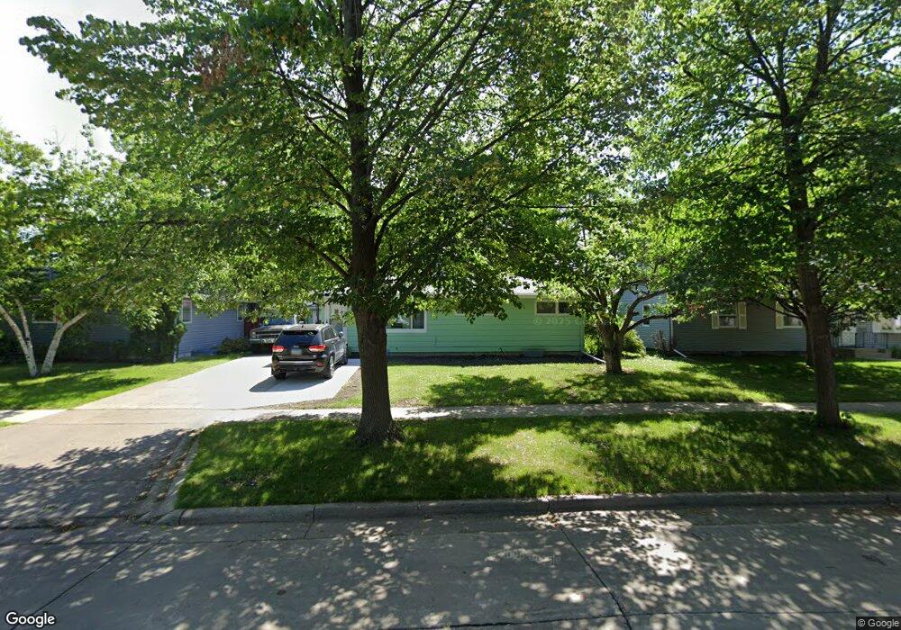
1450 20th St S Fargo, ND 58103
South High NeighborhoodEstimated Value: $209,000 - $274,000
3
Beds
1
Bath
1,920
Sq Ft
$125/Sq Ft
Est. Value
About This Home
This home is located at 1450 20th St S, Fargo, ND 58103 and is currently estimated at $239,240, approximately $124 per square foot. 1450 20th St S is a home located in Cass County with nearby schools including Lewis & Clark Elementary School, Carl Ben Eielson Middle School, and South High School.
Ownership History
Date
Name
Owned For
Owner Type
Purchase Details
Closed on
Jun 27, 2022
Sold by
Dual Wilhelm H
Bought by
Tendeland Brittany
Current Estimated Value
Home Financials for this Owner
Home Financials are based on the most recent Mortgage that was taken out on this home.
Original Mortgage
$174,000
Outstanding Balance
$165,541
Interest Rate
5.09%
Mortgage Type
New Conventional
Estimated Equity
$73,699
Create a Home Valuation Report for This Property
The Home Valuation Report is an in-depth analysis detailing your home's value as well as a comparison with similar homes in the area
Home Values in the Area
Average Home Value in this Area
Purchase History
| Date | Buyer | Sale Price | Title Company |
|---|---|---|---|
| Tendeland Brittany | $187,100 | Fm Title |
Source: Public Records
Mortgage History
| Date | Status | Borrower | Loan Amount |
|---|---|---|---|
| Open | Tendeland Brittany | $174,000 |
Source: Public Records
Tax History Compared to Growth
Tax History
| Year | Tax Paid | Tax Assessment Tax Assessment Total Assessment is a certain percentage of the fair market value that is determined by local assessors to be the total taxable value of land and additions on the property. | Land | Improvement |
|---|---|---|---|---|
| 2024 | $2,306 | $104,550 | $25,250 | $79,300 |
| 2023 | $2,634 | $98,650 | $25,250 | $73,400 |
| 2022 | $981 | $98,650 | $25,250 | $73,400 |
| 2021 | $785 | $91,950 | $26,200 | $65,750 |
| 2020 | $1,212 | $83,600 | $26,200 | $57,400 |
| 2019 | $1,088 | $78,850 | $14,550 | $64,300 |
| 2018 | $750 | $78,850 | $14,550 | $64,300 |
| 2017 | $1,325 | $76,550 | $14,550 | $62,000 |
| 2016 | $1,456 | $74,300 | $14,550 | $59,750 |
| 2015 | $1,397 | $65,600 | $10,900 | $54,700 |
| 2014 | $1,050 | $60,750 | $10,900 | $49,850 |
| 2013 | $1,438 | $60,750 | $10,900 | $49,850 |
Source: Public Records
Map
Nearby Homes
- 2202 15th Ave S
- 1407 17th St S
- 2009 13th Ave S
- 2013 13th Ave S
- 1709 13th Ave S
- 2402 N Flickertail Dr S Unit 1
- 1301 16 1 2 St S
- 1737 Park Blvd S
- 1725 Whitestone Cir S
- 1545 15th St S
- 1129 22nd St S Unit B09
- 1129 22nd St S Unit B12
- 1410 14 1 2 St S
- 1550 14 1 2 St S
- 1718 15th St S
- 1402 E Gateway Cir S Unit M
- 1361 16th Ave S
- 1418 12th Ave S
- 1314 14th St S
- 818 19th St S
- 1446 20th St S
- 1454 20th St S
- 1442 20th St S
- 1449 19th St S
- 1458 20th St S
- 1453 19th St S
- 1445 19th St S
- 1441 19th St S
- 1457 19th St S
- 1438 20th St S
- 1449 20th St S
- 1445 20th St S
- 1905 15th Ave S
- 1453 20th St S
- 1437 19th St S
- 1441 20th St S
- 1457 20th St S
- 1901 15th Ave S
- 1434 20th St S
- 1437 20th St S