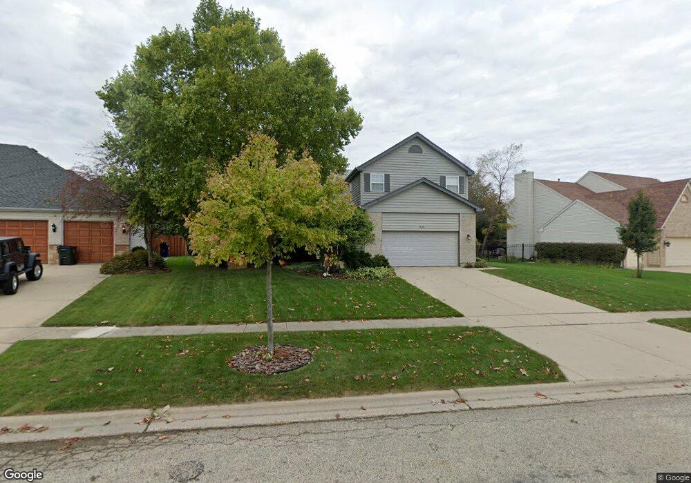
1450 Carlisle St Algonquin, IL 60102
Estimated Value: $476,183 - $542,000
4
Beds
3
Baths
2,634
Sq Ft
$192/Sq Ft
Est. Value
About This Home
This home is located at 1450 Carlisle St, Algonquin, IL 60102 and is currently estimated at $504,796, approximately $191 per square foot. 1450 Carlisle St is a home located in McHenry County with nearby schools including Westfield Community School, Kenneth E Neubert Elementary School, and United Junior High School.
Ownership History
Date
Name
Owned For
Owner Type
Purchase Details
Closed on
Jan 31, 2024
Sold by
Hughes Dale and Hughes Ann
Bought by
Dale And Anne Hughes Trust and Hughes
Current Estimated Value
Purchase Details
Closed on
Mar 20, 2017
Sold by
Hughes Dale
Bought by
Hughes Dale and Hughes Ann
Purchase Details
Closed on
Aug 4, 2000
Sold by
Hanson Michael J and Hanson Mary A
Bought by
Hughes Dale
Home Financials for this Owner
Home Financials are based on the most recent Mortgage that was taken out on this home.
Original Mortgage
$211,250
Interest Rate
9%
Create a Home Valuation Report for This Property
The Home Valuation Report is an in-depth analysis detailing your home's value as well as a comparison with similar homes in the area
Home Values in the Area
Average Home Value in this Area
Purchase History
| Date | Buyer | Sale Price | Title Company |
|---|---|---|---|
| Dale And Anne Hughes Trust | -- | None Listed On Document | |
| Hughes Dale | -- | None Available | |
| Hughes Dale | $237,000 | -- |
Source: Public Records
Mortgage History
| Date | Status | Borrower | Loan Amount |
|---|---|---|---|
| Previous Owner | Hughes Dale | $211,250 |
Source: Public Records
Tax History Compared to Growth
Tax History
| Year | Tax Paid | Tax Assessment Tax Assessment Total Assessment is a certain percentage of the fair market value that is determined by local assessors to be the total taxable value of land and additions on the property. | Land | Improvement |
|---|---|---|---|---|
| 2024 | $11,261 | $151,948 | $30,907 | $121,041 |
| 2023 | $10,707 | $135,898 | $27,642 | $108,256 |
| 2022 | $10,249 | $125,506 | $35,832 | $89,674 |
| 2021 | $9,843 | $116,924 | $33,382 | $83,542 |
| 2020 | $9,589 | $112,785 | $32,200 | $80,585 |
| 2019 | $9,361 | $107,949 | $30,819 | $77,130 |
| 2018 | $8,933 | $99,722 | $28,470 | $71,252 |
| 2017 | $8,758 | $93,945 | $26,821 | $67,124 |
| 2016 | $8,635 | $88,112 | $25,156 | $62,956 |
| 2013 | -- | $83,861 | $23,467 | $60,394 |
Source: Public Records
Map
Nearby Homes
- 2161 Burnham Ct
- 000 County Line Rd
- 2043 Peach Tree Ln Unit 4122
- 2101 Peach Tree Ln Unit 4094
- 1971 Peach Tree Ln
- 30 Arbordale Ct Unit 4284
- 1900 Waverly Ln
- 741 Regal Ln
- 2235 Dawson Ln
- 1820 Crofton Dr
- 2060 Dorchester Ave
- 2248 Dawson Ln Unit 272
- 661 Majestic Dr
- Marianne Plan at Algonquin Meadows - Traditional Townhomes
- Darcy Plan at Algonquin Meadows - Traditional Townhomes
- Charlotte Plan at Algonquin Meadows - Traditional Townhomes
- Adams Plan at Algonquin Meadows - Single Family
- Sequoia Plan at Algonquin Meadows - Single Family
- Bryce Plan at Algonquin Meadows - Single Family
- Rainier Plan at Algonquin Meadows - Single Family
- 1440 Carlisle St
- 1460 Carlisle St
- 1430 Carlisle St
- 1470 Carlisle St
- 1481 Merchant Dr
- 1457 Merchant Dr
- 1451 Merchant Dr
- 1485 Merchant Dr Unit 1485
- 1485 Merchant Dr Unit 1
- 1485 Merchant Dr Unit 2
- 2110 Burnham Ct
- 2120 Carlisle St
- 1420 Carlisle St
- 1493 Merchant Dr
- 1445 Merchant Dr
- 1443 Merchant Dr Unit 1443
- 1489 Merchant Dr
- 2141 Burnham Ct
- 1480 Carlisle St
- 1441 Merchant Dr