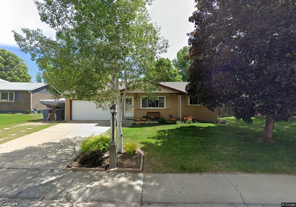
1450 Mayfield Cir Longmont, CO 80501
Southmoor NeighborhoodEstimated Value: $510,464 - $566,000
3
Beds
2
Baths
1,420
Sq Ft
$377/Sq Ft
Est. Value
About This Home
This home is located at 1450 Mayfield Cir, Longmont, CO 80501 and is currently estimated at $535,866, approximately $377 per square foot. 1450 Mayfield Cir is a home located in Boulder County with nearby schools including Indian Peaks Elementary School, Sunset Middle School, and Niwot High School.
Ownership History
Date
Name
Owned For
Owner Type
Purchase Details
Closed on
Jan 19, 1998
Sold by
Erwin Larry and Erwin Janice
Bought by
Erwin Larry R
Current Estimated Value
Purchase Details
Closed on
Nov 13, 1997
Sold by
Milburn Troy G and Milburn Wendy D
Bought by
Erwin Larry
Home Financials for this Owner
Home Financials are based on the most recent Mortgage that was taken out on this home.
Original Mortgage
$120,400
Outstanding Balance
$19,672
Interest Rate
7.23%
Estimated Equity
$516,194
Purchase Details
Closed on
Sep 28, 1995
Sold by
Floro Donald D and Floro Wilma J
Bought by
Milburn Troy G
Home Financials for this Owner
Home Financials are based on the most recent Mortgage that was taken out on this home.
Original Mortgage
$125,200
Interest Rate
7.88%
Purchase Details
Closed on
Oct 29, 1993
Sold by
Donald Wilma Floro Living Trust
Bought by
Floro Donald D
Create a Home Valuation Report for This Property
The Home Valuation Report is an in-depth analysis detailing your home's value as well as a comparison with similar homes in the area
Home Values in the Area
Average Home Value in this Area
Purchase History
| Date | Buyer | Sale Price | Title Company |
|---|---|---|---|
| Erwin Larry R | -- | -- | |
| Erwin Larry | $150,500 | -- | |
| Milburn Troy G | $139,200 | -- | |
| Floro Donald D | -- | -- |
Source: Public Records
Mortgage History
| Date | Status | Borrower | Loan Amount |
|---|---|---|---|
| Open | Erwin Larry | $120,400 | |
| Previous Owner | Milburn Troy G | $125,200 |
Source: Public Records
Tax History Compared to Growth
Tax History
| Year | Tax Paid | Tax Assessment Tax Assessment Total Assessment is a certain percentage of the fair market value that is determined by local assessors to be the total taxable value of land and additions on the property. | Land | Improvement |
|---|---|---|---|---|
| 2025 | $2,296 | $31,531 | $12,100 | $19,431 |
| 2024 | $2,296 | $31,531 | $12,100 | $19,431 |
| 2023 | $2,264 | $30,699 | $15,109 | $19,276 |
| 2022 | $1,915 | $26,306 | $10,675 | $15,631 |
| 2021 | $1,940 | $27,062 | $10,982 | $16,080 |
| 2020 | $1,698 | $24,632 | $8,866 | $15,766 |
| 2019 | $1,671 | $24,632 | $8,866 | $15,766 |
| 2018 | $1,303 | $20,916 | $6,120 | $14,796 |
| 2017 | $1,285 | $23,124 | $6,766 | $16,358 |
| 2016 | $1,011 | $18,539 | $6,129 | $12,410 |
| 2015 | $964 | $15,403 | $4,617 | $10,786 |
| 2014 | $719 | $15,403 | $4,617 | $10,786 |
Source: Public Records
Map
Nearby Homes
- 1435 Missouri Ave
- 1350 S Lincoln St
- 1527 S Vivian St
- 1327 Brookfield Dr
- 1801 S Pratt Pkwy
- 1435 Ashcroft Dr
- 919 S Sherman St
- 1456 Sepia Ave
- 1518 Sepia Ave
- 1028 Katy Ln
- 2030 Emerald Dr
- 2050 Emerald Dr
- 1321 Onyx Cir
- 2119 Onyx Way
- 832 S Bowen St
- 9 Seattle Ln
- 1072 Kane Dr
- 802 Neon Forest Cir
- 2240 Summitview Dr
- 1328 S Terry St
- 1448 Mayfield Cir
- 1452 Mayfield Cir
- 1431 S Sherman St
- 1425 S Sherman St
- 1446 Mayfield Cir
- 1437 S Sherman St
- 1421 S Sherman St
- 1454 Mayfield Cir
- 1455 Mayfield Cir
- 1451 Mayfield Cir
- 1449 Mayfield Cir
- 1444 Mayfield Cir
- 1447 Mayfield Cir
- 1443 S Sherman St
- 1415 S Sherman St
- 1456 Mayfield Cir
- 1445 Mayfield Cir
- 1459 Mayfield Cir
- 1424 S Sherman St
- 1430 S Sherman St