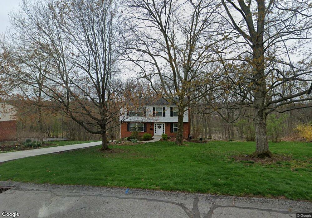
1450 Meteor Cir Pittsburgh, PA 15241
Estimated Value: $403,632 - $450,000
4
Beds
3
Baths
1,998
Sq Ft
$217/Sq Ft
Est. Value
About This Home
This home is located at 1450 Meteor Cir, Pittsburgh, PA 15241 and is currently estimated at $433,908, approximately $217 per square foot. 1450 Meteor Cir is a home located in Allegheny County with nearby schools including Upper St. Clair High School.
Ownership History
Date
Name
Owned For
Owner Type
Purchase Details
Closed on
May 5, 2022
Sold by
Malarkey Gerald P and Malarkey Laurie Mcbride
Bought by
Malarkey Family Trust and Malarkey
Current Estimated Value
Purchase Details
Closed on
Apr 8, 2022
Sold by
Malarkey Gerald P and Bride Laurie
Bought by
Malarkey Family Trust
Purchase Details
Closed on
Mar 12, 1982
Bought by
Malarkey Gerald P and Laurie Mc Br
Create a Home Valuation Report for This Property
The Home Valuation Report is an in-depth analysis detailing your home's value as well as a comparison with similar homes in the area
Home Values in the Area
Average Home Value in this Area
Purchase History
| Date | Buyer | Sale Price | Title Company |
|---|---|---|---|
| Malarkey Family Trust | $1 | -- | |
| Malarkey Family Trust | -- | -- | |
| Malarkey Gerald P | -- | -- | |
| Malarkey Family Trust | -- | -- |
Source: Public Records
Tax History Compared to Growth
Tax History
| Year | Tax Paid | Tax Assessment Tax Assessment Total Assessment is a certain percentage of the fair market value that is determined by local assessors to be the total taxable value of land and additions on the property. | Land | Improvement |
|---|---|---|---|---|
| 2025 | $5,989 | $156,800 | $41,000 | $115,800 |
| 2024 | $5,989 | $156,800 | $41,000 | $115,800 |
| 2023 | $5,821 | $156,800 | $41,000 | $115,800 |
| 2022 | $5,682 | $156,800 | $41,000 | $115,800 |
| 2021 | $742 | $156,800 | $41,000 | $115,800 |
| 2020 | $5,478 | $156,800 | $41,000 | $115,800 |
| 2019 | $5,397 | $156,800 | $41,000 | $115,800 |
| 2018 | $742 | $156,800 | $41,000 | $115,800 |
| 2017 | $5,158 | $156,800 | $41,000 | $115,800 |
| 2016 | $742 | $156,800 | $41,000 | $115,800 |
| 2015 | $742 | $156,800 | $41,000 | $115,800 |
| 2014 | $4,823 | $156,800 | $41,000 | $115,800 |
Source: Public Records
Map
Nearby Homes
- 250 Portman Ln Unit A
- 1560 Mayview Rd
- 1331 Morrow Rd
- 1435 Morrow Rd
- 1005 Tall Trees Dr
- 1109 Bank St
- 412 Winfield St
- 1251 Greystone Dr
- 1005 Lakemont Dr
- 100 Pinewood Dr
- 1051 Grandview Ave
- 2370 Morrow Rd
- 2013 Ashton Row
- 1115 Sray Ln
- 2122 Westcott Ln
- 2301 Southampton Dr
- Ashby Plan at Hastings - Single Family
- Royston Plan at Hastings - Single Family
- Corby Plan at Hastings - Single Family
- Helston Plan at Hastings - Single Family
- 1460 Meteor Cir
- 1440 Meteor Cir
- 1451 Meteor Cir
- 1547 Meteor Cir
- 1470 Meteor Cir
- 1153 Galaxy Cir
- 1154 Galaxy Cir
- 1141 Galaxy Cir
- 1142 Galaxy Cir
- 1157 Galaxy Cir
- 1137 Galaxy Cir
- 1158 Galaxy Cir
- 1134 Galaxy Cir
- 1161 Galaxy Cir
- 1133 Galaxy Cir
- 1162 Galaxy Cir
- 1126 Galaxy Cir
- 1420 Langport Dr
- 1470 Mayview Rd
- 1129 Galaxy Cir