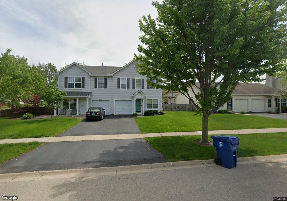
1450 Red Top Ln Unit 2 Minooka, IL 60447
Estimated Value: $258,000 - $268,000
2
Beds
3
Baths
1,700
Sq Ft
$155/Sq Ft
Est. Value
About This Home
This home is located at 1450 Red Top Ln Unit 2, Minooka, IL 60447 and is currently estimated at $262,889, approximately $154 per square foot. 1450 Red Top Ln Unit 2 is a home located in Grundy County with nearby schools including Minooka Primary Center, Minooka Elementary School, and Minooka Junior High School.
Ownership History
Date
Name
Owned For
Owner Type
Purchase Details
Closed on
Jun 27, 2018
Sold by
Harris Daniel and Harris Lauren
Bought by
Kulaga Nicole M
Current Estimated Value
Home Financials for this Owner
Home Financials are based on the most recent Mortgage that was taken out on this home.
Original Mortgage
$158,083
Outstanding Balance
$139,199
Interest Rate
5.25%
Mortgage Type
FHA
Estimated Equity
$123,690
Create a Home Valuation Report for This Property
The Home Valuation Report is an in-depth analysis detailing your home's value as well as a comparison with similar homes in the area
Purchase History
| Date | Buyer | Sale Price | Title Company |
|---|---|---|---|
| Kulaga Nicole M | $159,000 | First American Title |
Source: Public Records
Mortgage History
| Date | Status | Borrower | Loan Amount |
|---|---|---|---|
| Open | Kulaga Nicole M | $158,083 |
Source: Public Records
Tax History
| Year | Tax Paid | Tax Assessment Tax Assessment Total Assessment is a certain percentage of the fair market value that is determined by local assessors to be the total taxable value of land and additions on the property. | Land | Improvement |
|---|---|---|---|---|
| 2024 | $5,155 | $64,268 | $8,184 | $56,084 |
| 2023 | $4,699 | $58,580 | $7,460 | $51,120 |
| 2022 | $4,369 | $54,467 | $6,936 | $47,531 |
| 2021 | $4,200 | $51,559 | $6,566 | $44,993 |
| 2020 | $4,110 | $49,321 | $6,281 | $43,040 |
| 2019 | $3,906 | $45,668 | $5,816 | $39,852 |
| 2018 | $3,709 | $42,316 | $5,751 | $36,565 |
| 2017 | $3,615 | $40,409 | $5,492 | $34,917 |
| 2016 | $3,397 | $37,932 | $5,155 | $32,777 |
| 2015 | $2,727 | $34,481 | $4,686 | $29,795 |
| 2014 | $2,238 | $33,064 | $5,575 | $27,489 |
| 2013 | $2,303 | $33,510 | $5,650 | $27,860 |
Source: Public Records
Map
Nearby Homes
- 1559 Bluestem Ln
- 1468 Sedge Pass
- 1451 Red Top Ln
- 116 Fayette Ct
- 500 Prairie View Dr
- 651 Chestnut Ridge
- 25308 S Mallard Dr
- 1509 Donegal Dr
- 25407 S Yellow Pine Dr
- 1923 Waters Edge Dr
- 26411 W Stephanie Dr
- 1227 Wabena Ave
- 25548 S Mallard Dr
- 25204 Westwind Dr
- 25140 Westwind Dr
- 25146 Westwind Dr
- 25162 Westwind Dr
- 825 Grant Dr
- 2080 Waters Edge Dr
- 1308 Glenridge Ct N
- 1450 Red Top Ln
- 1452 Red Top Ln
- 1448 Red Top Ln
- 1456 Red Top Ln
- 1560 Bluestem Ln
- 1458 Red Top Ln Unit 2
- 1458 Red Top Ln
- 1446 Red Top Ln Unit 1446
- 1552 Bluestem Ln
- 1455 Red Top Ln
- 1453 Red Top Ln
- 1457 Red Top Ln
- 1460 Red Top Ln
- 1444 Red Top Ln
- 1449 Red Top Ln
- 1459 Red Top Ln
- 1564 Bluestem Ct
- 1548 Bluestem Ln
- 1447 Red Top Ln
- 1462 Red Top Ln