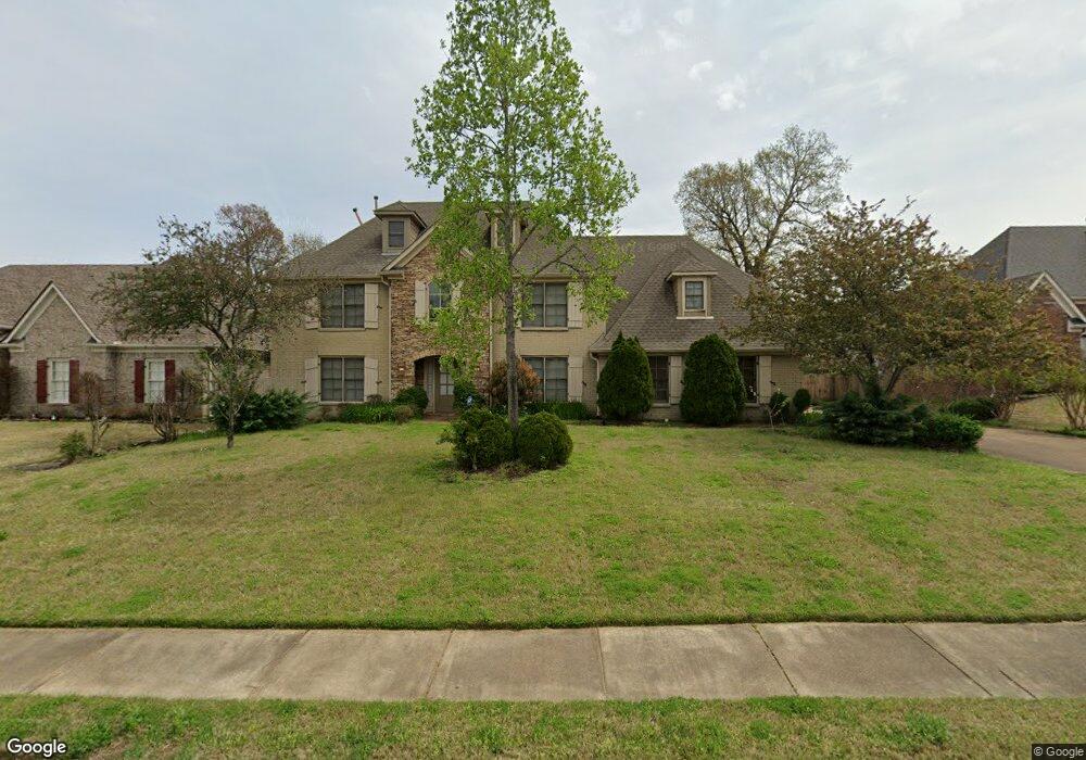
1450 Stable Run Dr Cordova, TN 38016
Gray's Creek NeighborhoodEstimated Value: $379,778 - $436,000
4
Beds
3
Baths
3,635
Sq Ft
$111/Sq Ft
Est. Value
About This Home
This home is located at 1450 Stable Run Dr, Cordova, TN 38016 and is currently estimated at $405,195, approximately $111 per square foot. 1450 Stable Run Dr is a home located in Shelby County with nearby schools including Macon-Hall Elementary School, Mt. Pisgah Middle School, and Bolton High School.
Ownership History
Date
Name
Owned For
Owner Type
Purchase Details
Closed on
Nov 21, 2006
Sold by
Gross Mark and Fremin Patrick
Bought by
Lhf 4 Assets Llc
Current Estimated Value
Purchase Details
Closed on
Oct 22, 2004
Sold by
Compass Pointe Homes Llc
Bought by
Gross Mark and Fremin Patrick
Home Financials for this Owner
Home Financials are based on the most recent Mortgage that was taken out on this home.
Original Mortgage
$198,320
Interest Rate
5.99%
Mortgage Type
Purchase Money Mortgage
Create a Home Valuation Report for This Property
The Home Valuation Report is an in-depth analysis detailing your home's value as well as a comparison with similar homes in the area
Home Values in the Area
Average Home Value in this Area
Purchase History
| Date | Buyer | Sale Price | Title Company |
|---|---|---|---|
| Lhf 4 Assets Llc | $180,100 | Summit Title & Escrow Llc | |
| Gross Mark | $247,900 | -- |
Source: Public Records
Mortgage History
| Date | Status | Borrower | Loan Amount |
|---|---|---|---|
| Previous Owner | Gross Mark | $198,320 | |
| Closed | Gross Mark | $49,580 |
Source: Public Records
Tax History Compared to Growth
Tax History
| Year | Tax Paid | Tax Assessment Tax Assessment Total Assessment is a certain percentage of the fair market value that is determined by local assessors to be the total taxable value of land and additions on the property. | Land | Improvement |
|---|---|---|---|---|
| 2025 | $2,265 | $103,950 | $17,250 | $86,700 |
| 2024 | $2,265 | $66,825 | $13,725 | $53,100 |
| 2023 | $2,265 | $66,825 | $13,725 | $53,100 |
| 2022 | $2,265 | $66,825 | $13,725 | $53,100 |
| 2021 | $2,305 | $66,825 | $13,725 | $53,100 |
| 2020 | $2,242 | $55,350 | $13,725 | $41,625 |
| 2019 | $2,242 | $55,350 | $13,725 | $41,625 |
| 2018 | $2,242 | $55,350 | $13,725 | $41,625 |
| 2017 | $2,275 | $55,350 | $13,725 | $41,625 |
| 2016 | $2,342 | $53,600 | $0 | $0 |
| 2014 | $2,342 | $53,600 | $0 | $0 |
Source: Public Records
Map
Nearby Homes
- 1419 Sawmill Creek Ln
- 10423 Redmond Dr
- 1480 Pemberton Ln
- 10481 Mabry Mill Rd
- 1636 Stable Run Dr
- 1663 N Pisgah Rd
- 1258 Carlton Ridge Dr
- 10133 Lynham Dr
- 10249 Sterling Ridge Dr
- 10225 Sterling Ridge Dr
- 10151 Macon Rd
- 1649 Brimhill Ln
- 10098 Sutton Ridge Ln
- 10160 Sterling Ridge Dr
- 1698 Pisgah Rd
- 1218 Pennock Dr
- 1210 Pennock Dr
- 1113 Red Fern Cir W
- 10095 Cross Valley Dr
- 10021 Branley Oak Dr
- 1458 Stable Run Dr
- 1442 Stable Run Dr
- 1449 Hamilton Hill Dr
- 1457 Hamilton Hill Dr
- 1439 Hamilton Hill Dr
- 1432 Stable Run Dr
- 1451 Stable Run Dr
- 1468 Stable Run Dr
- 1443 Stable Run Dr
- 1459 Stable Run Dr
- 1431 Hamilton Hill Dr
- 10351 Hamilton Farms Dr
- 1433 Stable Run Dr
- 1469 Stable Run Dr
- 1422 Stable Run Dr
- 1446 Hamilton Hill Dr
- 1458 Hamilton Hill Dr
- 1423 Hamilton Hill Dr
- 1448 Sutton Meadow Ln
- 1423 Stable Run Dr