1451 Forest Grove Rd Furlong, PA 18925
Estimated Value: $898,000 - $1,613,000
3
Beds
3
Baths
2,671
Sq Ft
$441/Sq Ft
Est. Value
About This Home
This home is located at 1451 Forest Grove Rd, Furlong, PA 18925 and is currently estimated at $1,178,373, approximately $441 per square foot. 1451 Forest Grove Rd is a home located in Bucks County with nearby schools including Buckingham Elementary School, Holicong Middle School, and Central Bucks High School - East.
Ownership History
Date
Name
Owned For
Owner Type
Purchase Details
Closed on
Mar 26, 2002
Sold by
Hopper Scott R and Hopper Carrie A
Bought by
Ferris Edward W J and Ferris Jane E
Current Estimated Value
Home Financials for this Owner
Home Financials are based on the most recent Mortgage that was taken out on this home.
Original Mortgage
$394,000
Outstanding Balance
$163,681
Interest Rate
6.84%
Estimated Equity
$1,014,692
Purchase Details
Closed on
Feb 9, 2000
Sold by
Brambley Patricia
Bought by
Hopper Scott R and Hopper Carrie A
Home Financials for this Owner
Home Financials are based on the most recent Mortgage that was taken out on this home.
Original Mortgage
$300,000
Interest Rate
8.18%
Create a Home Valuation Report for This Property
The Home Valuation Report is an in-depth analysis detailing your home's value as well as a comparison with similar homes in the area
Home Values in the Area
Average Home Value in this Area
Purchase History
| Date | Buyer | Sale Price | Title Company |
|---|---|---|---|
| Ferris Edward W J | $492,500 | -- | |
| Hopper Scott R | $390,000 | -- |
Source: Public Records
Mortgage History
| Date | Status | Borrower | Loan Amount |
|---|---|---|---|
| Open | Ferris Edward W J | $394,000 | |
| Previous Owner | Hopper Scott R | $300,000 |
Source: Public Records
Tax History Compared to Growth
Tax History
| Year | Tax Paid | Tax Assessment Tax Assessment Total Assessment is a certain percentage of the fair market value that is determined by local assessors to be the total taxable value of land and additions on the property. | Land | Improvement |
|---|---|---|---|---|
| 2025 | $9,560 | $58,720 | $840 | $57,880 |
| 2024 | $9,560 | $58,720 | $840 | $57,880 |
| 2023 | $9,236 | $58,720 | $840 | $57,880 |
| 2022 | $9,126 | $58,720 | $840 | $57,880 |
| 2021 | $9,016 | $77,930 | $20,050 | $57,880 |
| 2020 | $9,016 | $77,930 | $20,050 | $57,880 |
| 2019 | $8,958 | $77,930 | $20,050 | $57,880 |
| 2018 | $8,958 | $77,930 | $20,050 | $57,880 |
| 2017 | $8,884 | $77,930 | $20,050 | $57,880 |
| 2016 | $8,972 | $77,930 | $20,050 | $57,880 |
| 2015 | -- | $77,930 | $20,050 | $57,880 |
| 2014 | -- | $77,930 | $20,050 | $57,880 |
Source: Public Records
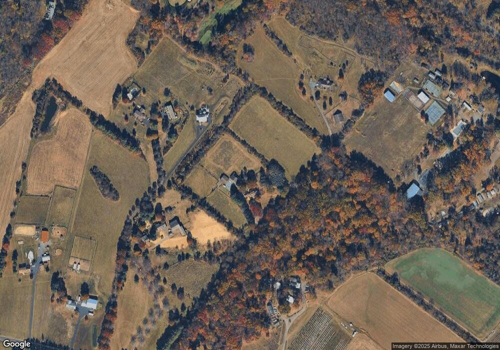
Map
Nearby Homes
- 1221 Creek Rd
- 4549 Lower Mountain Rd
- 377 Spring Meadow Cir
- 214 Dove Ct
- 1948 Forest Grove Rd
- 0 Old York Rd Unit PABU2103356
- 191 Cardinal Ct S
- 158 Grouse Cir
- 183 Spring Meadow Cir
- 529 Honeysuckle Ct
- 148 Raven Ct
- 4448 Lower Mountain Rd
- 561 Spring Meadow Cir
- 2080 Bedfordshire Rd
- 1908 Durham Rd
- 3657 Powder Horn Dr
- 2209 Swamp Rd
- 1341 Durham Rd
- 1515 Sugar Bottom Rd
- 3772 Powder Horn Dr
- 1419 Forest Grove Rd
- 1437 Forest Grove Rd
- 1409 Forest Grove Rd
- 1391 Forest Grove Rd
- 1493 Forest Grove Rd
- 1569 Forest Grove Rd
- 1565 Forest Grove Rd
- 0 Forest Grove Rd Unit 5398468
- 0 Forest Grove Rd Unit 5737502
- 0 Forest Grove Rd Unit 5754922
- L38-001 Forest Grove Rd
- 0 Forest Grove Rd
- 1481 Forest Grove Rd
- 1601 Forest Grove Rd
- 1260 Forest Grove Rd
- 1285 Forest Grove Rd
- 1283 Forest Grove Rd
- 1619 Forest Grove Rd
- 3740 Creamery Rd
- 1368 Forest Grove Rd