14512 Mission Rd Overland Park, KS 66224
Estimated Value: $2,741,000 - $3,409,464
8
Beds
14
Baths
9,457
Sq Ft
$325/Sq Ft
Est. Value
About This Home
This home is located at 14512 Mission Rd, Overland Park, KS 66224 and is currently estimated at $3,075,232, approximately $325 per square foot. 14512 Mission Rd is a home located in Johnson County with nearby schools including Prairie Star Elementary School, Prairie Star Middle School, and Blue Valley High School.
Ownership History
Date
Name
Owned For
Owner Type
Purchase Details
Closed on
Jan 27, 2004
Sold by
Westlake Vicki and Westlake Scott M
Bought by
Randa Joseph G and Randa Bethany N
Current Estimated Value
Home Financials for this Owner
Home Financials are based on the most recent Mortgage that was taken out on this home.
Original Mortgage
$1,000,000
Outstanding Balance
$433,586
Interest Rate
4.75%
Mortgage Type
Purchase Money Mortgage
Estimated Equity
$2,641,646
Create a Home Valuation Report for This Property
The Home Valuation Report is an in-depth analysis detailing your home's value as well as a comparison with similar homes in the area
Home Values in the Area
Average Home Value in this Area
Purchase History
| Date | Buyer | Sale Price | Title Company |
|---|---|---|---|
| Randa Joseph G | -- | Security Land Title Company |
Source: Public Records
Mortgage History
| Date | Status | Borrower | Loan Amount |
|---|---|---|---|
| Open | Randa Joseph G | $1,000,000 |
Source: Public Records
Tax History Compared to Growth
Tax History
| Year | Tax Paid | Tax Assessment Tax Assessment Total Assessment is a certain percentage of the fair market value that is determined by local assessors to be the total taxable value of land and additions on the property. | Land | Improvement |
|---|---|---|---|---|
| 2024 | $57,680 | $508,748 | $75,956 | $432,792 |
| 2023 | $53,686 | $470,925 | $75,956 | $394,969 |
| 2022 | $49,253 | $422,981 | $75,956 | $347,025 |
| 2021 | $45,273 | $373,186 | $75,956 | $297,230 |
| 2020 | $45,886 | $370,599 | $69,082 | $301,517 |
| 2019 | $43,856 | $347,887 | $60,083 | $287,804 |
| 2018 | $43,248 | $336,915 | $52,236 | $284,679 |
| 2017 | $43,937 | $336,559 | $52,236 | $284,323 |
| 2016 | $42,093 | $322,782 | $43,495 | $279,287 |
| 2015 | $41,993 | $318,090 | $42,917 | $275,173 |
| 2013 | -- | $316,273 | $42,917 | $273,356 |
Source: Public Records
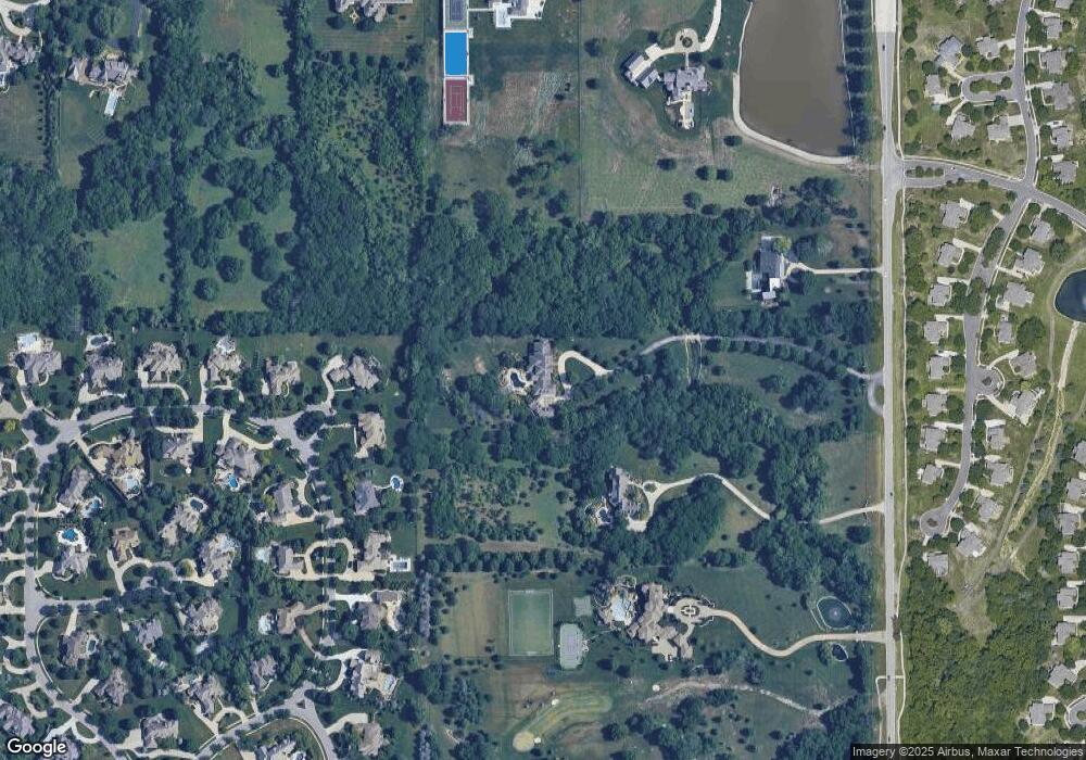
Map
Nearby Homes
- 0 Mission Rd Unit HMS2528409
- 14509 Howe Dr
- 13606 Granada St
- 13608 Granada St
- 14706 Mohawk Cir
- 14549 Windsor Dr
- 3549 W 143rd Terrace
- 4421 W 150th St
- 3900 W 142nd Dr
- 14617 Windsor Dr
- 14708 Cedar St
- 4466 W 150th Terrace
- 14810 Sherwood St
- 14608 Chadwick St
- 3716 W 141st St
- 14919 Reinhardt St
- 3509 W 150th St
- 5108 W 150th St
- 14004 Linden St
- 14013 Juniper St
- 14550 Mission Rd
- 14559 Granada Cir
- 14563 Granada Cir
- 14567 Granada Cir
- 14571 Granada Cir
- 14555 Granada Cir
- 14600 Mission Rd
- 14420 Mission Rd
- 14560 Granada Cir
- 14556 Granada Cir
- 14564 Granada Cir
- 14551 Granada Cir
- 3905 W 143rd St
- 14400 Mission Rd
- 3909 W 143rd St
- 14579 Granada Cir
- 14566 Granada Cir
- 14552 Granada Cir
- 4600 W 146th St
- 14547 Granada Cir