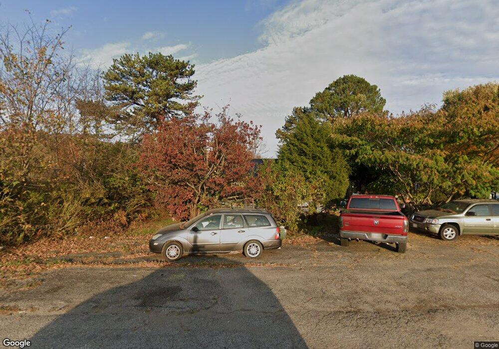
14527 State Route 41 West Union, OH 45693
Estimated Value: $84,000 - $164,000
2
Beds
1
Bath
1,104
Sq Ft
$103/Sq Ft
Est. Value
About This Home
This home is located at 14527 State Route 41, West Union, OH 45693 and is currently estimated at $113,977, approximately $103 per square foot. 14527 State Route 41 is a home located in Adams County with nearby schools including West Union Elementary School, West Union High School, and Adams County Christian School.
Ownership History
Date
Name
Owned For
Owner Type
Purchase Details
Closed on
Mar 8, 2024
Sold by
Stricklett Tressie
Bought by
Stricklett Michael R
Current Estimated Value
Purchase Details
Closed on
Sep 12, 2023
Sold by
Henderson Joyce A and Henderson Jesse David
Bought by
Stricklett Tressie
Purchase Details
Closed on
Sep 10, 2017
Sold by
Teague James D
Bought by
Henderson Joyce A and Henderson Jesse David
Purchase Details
Closed on
Jun 3, 2015
Sold by
Mingee Leroy and Mingee Rowena Sue
Bought by
First State Bank
Purchase Details
Closed on
Dec 11, 2006
Sold by
Purdin David W and Purdin Rebecca L
Bought by
Mingee Leroy and Mingee Rowena Sue
Home Financials for this Owner
Home Financials are based on the most recent Mortgage that was taken out on this home.
Original Mortgage
$54,000
Interest Rate
6.33%
Mortgage Type
New Conventional
Purchase Details
Closed on
Jul 21, 2003
Sold by
Evans Donna Jean
Bought by
Purdin David W
Purchase Details
Closed on
Jul 29, 1993
Bought by
Evans Donna Jean
Create a Home Valuation Report for This Property
The Home Valuation Report is an in-depth analysis detailing your home's value as well as a comparison with similar homes in the area
Home Values in the Area
Average Home Value in this Area
Purchase History
| Date | Buyer | Sale Price | Title Company |
|---|---|---|---|
| Stricklett Michael R | -- | None Listed On Document | |
| Stricklett Tressie | -- | None Listed On Document | |
| Stricklett Tressie | -- | None Listed On Document | |
| Henderson Joyce A | $38,000 | None Available | |
| First State Bank | -- | None Available | |
| Mingee Leroy | $37,500 | None Available | |
| Purdin David W | $40,000 | -- | |
| Evans Donna Jean | -- | -- |
Source: Public Records
Mortgage History
| Date | Status | Borrower | Loan Amount |
|---|---|---|---|
| Previous Owner | Mingee Leroy | $54,000 |
Source: Public Records
Tax History Compared to Growth
Tax History
| Year | Tax Paid | Tax Assessment Tax Assessment Total Assessment is a certain percentage of the fair market value that is determined by local assessors to be the total taxable value of land and additions on the property. | Land | Improvement |
|---|---|---|---|---|
| 2024 | $276 | $18,100 | $4,170 | $13,930 |
| 2023 | $616 | $18,100 | $4,170 | $13,930 |
| 2022 | $614 | $14,710 | $3,190 | $11,520 |
| 2021 | $541 | $14,710 | $3,190 | $11,520 |
| 2020 | $553 | $14,710 | $3,190 | $11,520 |
| 2019 | $553 | $14,710 | $3,190 | $11,520 |
| 2018 | $487 | $13,200 | $3,190 | $10,010 |
| 2017 | $158 | $13,200 | $3,190 | $10,010 |
| 2016 | $157 | $13,200 | $3,190 | $10,010 |
| 2015 | $662 | $18,910 | $4,800 | $14,110 |
| 2014 | -- | $18,910 | $4,800 | $14,110 |
Source: Public Records
Map
Nearby Homes
- 260 Randy St
- 216 Kurt St
- 410 Owens Rd
- 0 State Route 41 Unit 1830107
- 3188 Ohio 125
- 1155 Gatewood Dr
- 819 E Main St
- 1082 E Walnut St
- 622 Boyd Ave
- 610 Boyd Ave
- 292 Larry Baynum Rd
- 430 Poplar St
- 902 E Walnut St
- 601 E Main St
- 3460 Logans Ln
- 70 Logans Ln
- 222 Kennedy Ave
- 725 E Walnut St
- 185 Windfield Dr
- 526 E Walnut St
- 18 Page School Rd
- 14575 State Route 41
- 10 Mary Ln
- 14591 State Route 41
- 14591 State Route 41
- 30 Mary Ln
- 14451 State Route 41
- 60 Page School Rd
- 43 Mary Ln
- 14608 State Route 41
- 50 Mary Ln
- 14593 State Route 41
- 14515 State Route 41
- 85 Mary Ln
- 70 Mary Ln
- Lot B State Route 41
- 14457 State Route 41
- 14457 State Route 41
- 100 Page School Rd
- 14603 State Route 41
