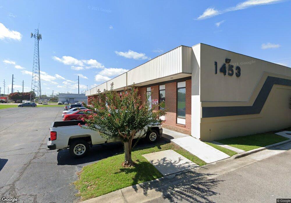
1453 Greene St Augusta, GA 30901
West End NeighborhoodEstimated Value: $580,673
Studio
--
Bath
9,686
Sq Ft
$60/Sq Ft
Est. Value
About This Home
This home is located at 1453 Greene St, Augusta, GA 30901 and is currently estimated at $580,673, approximately $59 per square foot. 1453 Greene St is a home located in Richmond County with nearby schools including Lamar Elementary School, W.S. Hornsby Elementary School, and Johnson Magnet.
Ownership History
Date
Name
Owned For
Owner Type
Purchase Details
Closed on
Jul 29, 2024
Sold by
Greene At 15Th Park Llc
Bought by
Bhux2 Llc
Current Estimated Value
Home Financials for this Owner
Home Financials are based on the most recent Mortgage that was taken out on this home.
Original Mortgage
$464,000
Outstanding Balance
$369,473
Interest Rate
6.86%
Mortgage Type
New Conventional
Estimated Equity
$211,200
Purchase Details
Closed on
Jan 31, 2019
Sold by
Greene At 15Th Park
Bought by
Greene At 15Th Park Llc
Purchase Details
Closed on
Aug 28, 2017
Sold by
Smith Katherine F
Bought by
Franke William F
Create a Home Valuation Report for This Property
The Home Valuation Report is an in-depth analysis detailing your home's value as well as a comparison with similar homes in the area
Home Values in the Area
Average Home Value in this Area
Purchase History
| Date | Buyer | Sale Price | Title Company |
|---|---|---|---|
| Bhux2 Llc | $580,000 | -- | |
| Greene At 15Th Park Llc | -- | -- | |
| Franke William F | -- | -- |
Source: Public Records
Mortgage History
| Date | Status | Borrower | Loan Amount |
|---|---|---|---|
| Open | Bhux2 Llc | $464,000 |
Source: Public Records
Tax History
| Year | Tax Paid | Tax Assessment Tax Assessment Total Assessment is a certain percentage of the fair market value that is determined by local assessors to be the total taxable value of land and additions on the property. | Land | Improvement |
|---|---|---|---|---|
| 2025 | $5,709 | $187,196 | $22,604 | $164,592 |
| 2024 | $5,709 | $154,432 | $22,604 | $131,828 |
| 2023 | $2,952 | $104,076 | $22,604 | $81,472 |
| 2022 | $5,109 | $163,547 | $22,604 | $140,943 |
| 2021 | $4,518 | $131,320 | $22,604 | $108,716 |
| 2020 | $4,445 | $131,320 | $22,604 | $108,716 |
| 2019 | $4,757 | $131,320 | $22,604 | $108,716 |
| 2018 | $4,665 | $131,320 | $22,604 | $108,716 |
| 2017 | $0 | $131,320 | $22,604 | $108,716 |
| 2016 | $4,668 | $131,320 | $22,604 | $108,716 |
| 2015 | -- | $131,320 | $22,604 | $108,716 |
| 2014 | -- | $131,320 | $22,604 | $108,716 |
Source: Public Records
Map
Nearby Homes
- 1117 Jones St
- 383 Blue Clay Dr
- 406 Hamilton St
- Lot 12 Railroad Ave
- Lot 10 Lafayette St
- Lot 9 Lafayette St
- 24 Crystal Lake Dr
- 380 Front St
- 384 Front St
- 162 Lafayette St
- 1702&1706 Hicks St
- 51 Fallmouth St
- 633 Bohler Ave
- 64 Fulton St
- 1643 Saint Luke St
- 1645 Saint Luke St
- 1714 Walker St
- 1731 Hicks St
- 1225 Miller St
- 672 Front St
- 1453 Greene St Unit B
- 1453 Greene St Unit A
- 1437 Greene St
- 1482 Broad St
- 1450 Greene St
- 1450 Greene St
- 1437 Broad St
- 1429 Broad St
- 1427 Broad St
- 1435 Greene St
- 1425 Broad St
- 1501 Broad St
- 1409 Broad St
- 1407 Broad St
- 1505 Saint Luke St
- 1507 Saint Luke St
- 1345 Waters Edge Dr
- 1427 Waters Edge Dr
- 1425 Waters Edge Dr
- 1429 Waters Edge Dr
Your Personal Tour Guide
Ask me questions while you tour the home.