14540 90th St Brownton, MN 55312
Estimated Value: $299,000 - $412,000
4
Beds
3
Baths
1,729
Sq Ft
$214/Sq Ft
Est. Value
About This Home
This home is located at 14540 90th St, Brownton, MN 55312 and is currently estimated at $369,583, approximately $213 per square foot. 14540 90th St is a home located in McLeod County with nearby schools including Lincoln Elementary School, Lakeside Elementary School, and Glencoe-Silver Lake Jr. High School.
Ownership History
Date
Name
Owned For
Owner Type
Purchase Details
Closed on
Feb 23, 2011
Sold by
Federal National Mortgage Association
Bought by
Hoemberg Hannah J and Hoemberg Matthew P
Current Estimated Value
Home Financials for this Owner
Home Financials are based on the most recent Mortgage that was taken out on this home.
Original Mortgage
$165,900
Outstanding Balance
$107,820
Interest Rate
3.75%
Mortgage Type
Purchase Money Mortgage
Estimated Equity
$261,763
Purchase Details
Closed on
Jul 7, 2010
Sold by
Cu Mortgage Services Inc
Bought by
Federal National Mortgage Association
Create a Home Valuation Report for This Property
The Home Valuation Report is an in-depth analysis detailing your home's value as well as a comparison with similar homes in the area
Purchase History
| Date | Buyer | Sale Price | Title Company |
|---|---|---|---|
| Hoemberg Hannah J | -- | Capitol Lien Records & Resea | |
| Federal National Mortgage Association | -- | Minnesota Abstract & Title |
Source: Public Records
Mortgage History
| Date | Status | Borrower | Loan Amount |
|---|---|---|---|
| Open | Hoemberg Hannah J | $165,900 |
Source: Public Records
Tax History
| Year | Tax Paid | Tax Assessment Tax Assessment Total Assessment is a certain percentage of the fair market value that is determined by local assessors to be the total taxable value of land and additions on the property. | Land | Improvement |
|---|---|---|---|---|
| 2024 | $2,478 | $309,500 | $106,200 | $203,300 |
| 2023 | $2,478 | $309,500 | $106,200 | $203,300 |
| 2022 | $2,292 | $304,100 | $106,200 | $197,900 |
| 2021 | $2,304 | $237,200 | $81,600 | $155,600 |
| 2020 | $2,240 | $237,200 | $81,600 | $155,600 |
| 2019 | $2,086 | $225,700 | $72,300 | $153,400 |
| 2018 | $1,738 | $0 | $0 | $0 |
| 2017 | $1,534 | $0 | $0 | $0 |
| 2016 | $1,538 | $0 | $0 | $0 |
| 2015 | $1,420 | $0 | $0 | $0 |
| 2014 | -- | $0 | $0 | $0 |
Source: Public Records
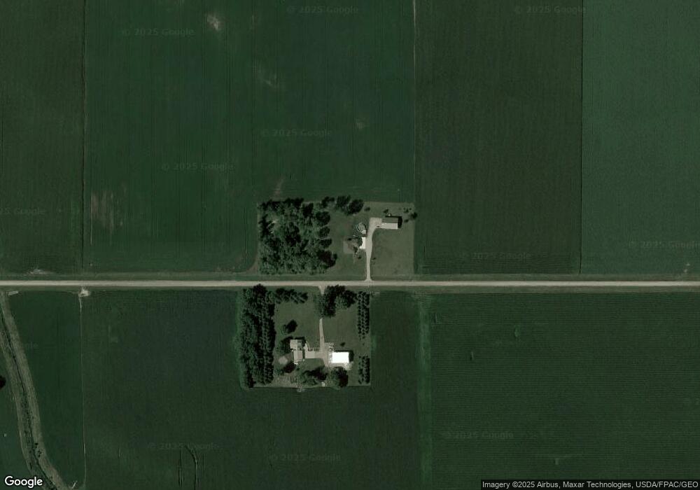
Map
Nearby Homes
- 7900 Lace Ave
- 7900 Lace Ave N
- 16452 90th St
- 1002 2nd St N
- 0 Plum Ave Unit NOC6335195
- Lot 2 U S Highway 212
- xxx Lot 3 Division St W
- 12221 Page Ave
- XXX US Hwy 212
- xxx Lot 2 Us Hwy 212
- 0 57th St
- 1199 E 2nd St
- 316 20th St W
- 1207 Desoto Ave N
- 614 Elliott Ave N
- Lot 2 Tagus Ave
- 105 Hennepin Ave N
- 800 Sumac Ln
- 200 Interwood Dr
- 1015 1st St E
- 14593 90th St
- 14875 90th St
- 14221 90th St
- 14094 90th St
- 9408 Nature Ave
- 9408 Nature Ave
- 9052 Major Ave
- 8615 Major Ave
- 15312 90th St
- 9575 Nature Ave
- 14121 Highway 212
- 9601 Major Ave
- 9754 Major Ave
- 9744 Nature Ave
- 9744 Nature Ave
- 9744 Nature Ave
- 13735 88th St
- 8394 Major Ave
- 13935 Highway 212
- 9747 Nature Ave
Your Personal Tour Guide
Ask me questions while you tour the home.