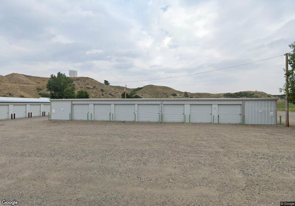
1455 Date St S Huntley, MT 59037
Huntley NeighborhoodEstimated Value: $1,022,517 - $1,040,000
--
Bed
--
Bath
12,490
Sq Ft
$83/Sq Ft
Est. Value
About This Home
This home is located at 1455 Date St S, Huntley, MT 59037 and is currently estimated at $1,031,259, approximately $82 per square foot. 1455 Date St S is a home located in Yellowstone County with nearby schools including Huntley Project Elementary School, Huntley Project Junior High School, and Huntley Project High School.
Ownership History
Date
Name
Owned For
Owner Type
Purchase Details
Closed on
Sep 25, 2024
Sold by
Thompson Ty
Bought by
Huntley Storage Units Llc
Current Estimated Value
Purchase Details
Closed on
Aug 27, 2024
Sold by
Huntley Project Mini Storage Llc
Bought by
Thompson Ty
Purchase Details
Closed on
Apr 12, 2018
Sold by
Texley Randal M
Bought by
Huntley Mini Storage Llc
Purchase Details
Closed on
Dec 14, 2005
Sold by
Texley Randy M
Bought by
Shumakers Inc
Create a Home Valuation Report for This Property
The Home Valuation Report is an in-depth analysis detailing your home's value as well as a comparison with similar homes in the area
Home Values in the Area
Average Home Value in this Area
Purchase History
| Date | Buyer | Sale Price | Title Company |
|---|---|---|---|
| Huntley Storage Units Llc | -- | None Listed On Document | |
| Thompson Ty | -- | Flying S Title And Escrow | |
| Huntley Mini Storage Llc | -- | -- | |
| Shumakers Inc | -- | None Available |
Source: Public Records
Tax History Compared to Growth
Tax History
| Year | Tax Paid | Tax Assessment Tax Assessment Total Assessment is a certain percentage of the fair market value that is determined by local assessors to be the total taxable value of land and additions on the property. | Land | Improvement |
|---|---|---|---|---|
| 2025 | $4,147 | $557,600 | $59,016 | $498,584 |
| 2024 | $4,147 | $521,100 | $45,803 | $475,297 |
| 2023 | $5,103 | $521,100 | $45,803 | $475,297 |
| 2022 | $4,306 | $406,200 | $0 | $0 |
| 2021 | $4,384 | $406,200 | $0 | $0 |
| 2020 | $4,507 | $411,100 | $0 | $0 |
| 2019 | $4,385 | $411,100 | $0 | $0 |
| 2018 | $4,083 | $358,500 | $0 | $0 |
| 2017 | $3,569 | $358,500 | $0 | $0 |
| 2016 | $3,652 | $366,600 | $0 | $0 |
| 2015 | $3,948 | $366,600 | $0 | $0 |
| 2014 | $3,854 | $266,115 | $0 | $0 |
Source: Public Records
Map
Nearby Homes
- 119 Peritse Ave
- 0000 Florian Ave
- 0 Great Northern Unit 354449
- 1266 Chipper Ln
- 1251 Chipper Ln
- 1246 Chipper Ln
- 1191 Chipper Ln
- 6808 Earl Ave
- 3631 Lynette Ln
- 5840,5850,5904 Lunder Ln
- 581 Squaw Creek Rd
- 6447 US Highway 312
- 5510 Powmer Rd
- 6249 Dawson Dr
- 5400 Blue Horizon Dr
- 4820 Maribrooke Rd
- 4935 Lewies Way
- 5358 Yeoman Rd
- 7133 Mustang Rd
- 6732 Pinto Dr
- 1454 S Elmhurst Cir
- 1477 Date St S
- 1477 Date St S
- 1472 N Elmhurst Cir
- 134 S Canal Dr
- 1472 Elmhurst Cir
- 1481 Date St S
- 120 S Canal Dr
- 1485 Date St S
- 0 S Canal Dr
- 228 3rd St S
- 135 N Canal Dr
- 152 S Canal Dr
- 145 N Canal Dr
- 121 123 Canal Dr
- 121 N Canal Dr
- 147 N Canal Dr
- 109 N Canal Dr
- 170 S Canal Dr
- 103 N Canal Dr