1455 Forest Grove Rd Furlong, PA 18925
Estimated Value: $347,000 - $1,825,000
3
Beds
3
Baths
2,284
Sq Ft
$479/Sq Ft
Est. Value
About This Home
This home is located at 1455 Forest Grove Rd, Furlong, PA 18925 and is currently estimated at $1,093,822, approximately $478 per square foot. 1455 Forest Grove Rd is a home located in Bucks County with nearby schools including Buckingham Elementary School, Holicong Middle School, and Central Bucks High School - East.
Ownership History
Date
Name
Owned For
Owner Type
Purchase Details
Closed on
Apr 26, 2002
Sold by
Mcmanus Jennifer D and Taylor Jennifer D
Bought by
Mcmanus Jennifer D and Mcmanus Joseph T
Current Estimated Value
Purchase Details
Closed on
Jun 7, 1999
Sold by
Taylor John D and Taylor Jennifer D
Bought by
Taylor Jennifer D
Home Financials for this Owner
Home Financials are based on the most recent Mortgage that was taken out on this home.
Original Mortgage
$185,000
Interest Rate
6.99%
Create a Home Valuation Report for This Property
The Home Valuation Report is an in-depth analysis detailing your home's value as well as a comparison with similar homes in the area
Home Values in the Area
Average Home Value in this Area
Purchase History
| Date | Buyer | Sale Price | Title Company |
|---|---|---|---|
| Mcmanus Jennifer D | -- | -- | |
| Taylor Jennifer D | -- | -- |
Source: Public Records
Mortgage History
| Date | Status | Borrower | Loan Amount |
|---|---|---|---|
| Closed | Taylor Jennifer D | $185,000 |
Source: Public Records
Tax History Compared to Growth
Tax History
| Year | Tax Paid | Tax Assessment Tax Assessment Total Assessment is a certain percentage of the fair market value that is determined by local assessors to be the total taxable value of land and additions on the property. | Land | Improvement |
|---|---|---|---|---|
| 2025 | $9,384 | $57,640 | $27,000 | $30,640 |
| 2024 | $9,384 | $57,640 | $27,000 | $30,640 |
| 2023 | $9,066 | $57,640 | $27,000 | $30,640 |
| 2022 | $8,958 | $57,640 | $27,000 | $30,640 |
| 2021 | $8,851 | $57,640 | $27,000 | $30,640 |
| 2020 | $10,656 | $69,400 | $27,000 | $42,400 |
| 2019 | $10,587 | $69,400 | $27,000 | $42,400 |
| 2018 | $10,587 | $69,400 | $27,000 | $42,400 |
| 2017 | $10,500 | $69,400 | $27,000 | $42,400 |
| 2016 | $10,604 | $69,400 | $27,000 | $42,400 |
| 2015 | -- | $69,400 | $27,000 | $42,400 |
| 2014 | -- | $69,400 | $27,000 | $42,400 |
Source: Public Records
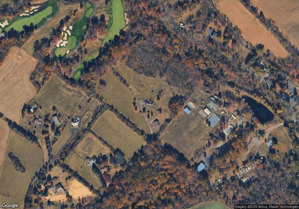
Map
Nearby Homes
- 377 Spring Meadow Cir
- 1221 Creek Rd
- 214 Dove Ct
- 4549 Lower Mountain Rd
- 191 Cardinal Ct S
- 158 Grouse Cir
- 183 Spring Meadow Cir
- 529 Honeysuckle Ct
- 148 Raven Ct
- 561 Spring Meadow Cir
- 4448 Lower Mountain Rd
- 1908 Durham Rd
- 1948 Forest Grove Rd
- 1341 Durham Rd
- 0 Old York Rd Unit PABU2103356
- 3657 Powder Horn Dr
- 2080 Bedfordshire Rd
- 2209 Swamp Rd
- 3772 Powder Horn Dr
- 2479 Wheatfield Ln
- 1493 Creek Rd
- 1471 Creek Rd
- 1525 Creek Rd
- 281 Peach Ct
- 1415 Creek Rd
- 282 Peach Ct
- 1481 Forest Grove Rd
- 280 Peach Ct
- 283 Peach Ct
- 284 Countryside Cir
- 279 Peach Ct
- 286 Countryside Cir
- 278 Countryside Cir
- 277 Countryside Cir
- 289 Countryside Cir
- 1577 Creek Rd
- 276 Countryside Cir
- 288 Countryside Cir
- 275 Countryside Cir
- 295 Blackberry Cir