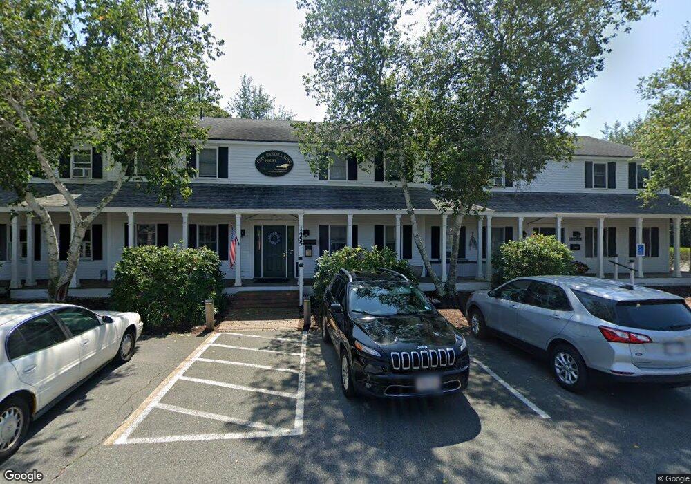
1455 Main St Chatham, MA 02633
West Chatham NeighborhoodEstimated Value: $4,312,148
Studio
--
Bath
8,560
Sq Ft
$504/Sq Ft
Est. Value
About This Home
This home is located at 1455 Main St, Chatham, MA 02633 and is currently estimated at $4,312,148, approximately $503 per square foot. 1455 Main St is a home located in Barnstable County with nearby schools including Chatham Elementary School, Harwich Elementary School, and Monomoy Regional Middle School.
Ownership History
Date
Name
Owned For
Owner Type
Purchase Details
Closed on
May 10, 2023
Sold by
Saint Christophers Chrch
Bought by
Highwheeler Sq Condo T and Rudnick
Current Estimated Value
Purchase Details
Closed on
Feb 26, 2019
Sold by
1455 Main Street Llc
Bought by
Broad Reach Highland Ldg
Home Financials for this Owner
Home Financials are based on the most recent Mortgage that was taken out on this home.
Original Mortgage
$1,280,000
Interest Rate
4.4%
Mortgage Type
Purchase Money Mortgage
Purchase Details
Closed on
Feb 9, 2006
Sold by
Silver Leaf Nt and Paul
Bought by
1455 Main Street Llc
Home Financials for this Owner
Home Financials are based on the most recent Mortgage that was taken out on this home.
Original Mortgage
$9,999,999
Interest Rate
6.27%
Mortgage Type
Commercial
Create a Home Valuation Report for This Property
The Home Valuation Report is an in-depth analysis detailing your home's value as well as a comparison with similar homes in the area
Home Values in the Area
Average Home Value in this Area
Purchase History
| Date | Buyer | Sale Price | Title Company |
|---|---|---|---|
| Highwheeler Sq Condo T | $10,000 | None Available | |
| Broad Reach Highland Ldg | $2,000,000 | -- | |
| 1455 Main Street Llc | $782,600 | -- | |
| 1455 Main Street Llc | $782,600 | -- | |
| 1455 Main Street Llc | $782,600 | -- |
Source: Public Records
Mortgage History
| Date | Status | Borrower | Loan Amount |
|---|---|---|---|
| Previous Owner | Broad Reach Highland Ldg | $1,280,000 | |
| Previous Owner | 1455 Main Street Llc | $9,999,999 |
Source: Public Records
Tax History
| Year | Tax Paid | Tax Assessment Tax Assessment Total Assessment is a certain percentage of the fair market value that is determined by local assessors to be the total taxable value of land and additions on the property. | Land | Improvement |
|---|---|---|---|---|
| 2025 | $5,987 | $1,725,400 | $408,300 | $1,317,100 |
| 2024 | $5,985 | $1,676,500 | $392,600 | $1,283,900 |
| 2023 | $5,875 | $1,514,300 | $356,900 | $1,157,400 |
| 2022 | $6,277 | $1,358,600 | $324,500 | $1,034,100 |
| 2021 | $6,584 | $1,322,000 | $322,800 | $999,200 |
| 2020 | $4,878 | $1,012,000 | $322,800 | $689,200 |
| 2019 | $4,205 | $867,100 | $322,800 | $544,300 |
| 2018 | $4,207 | $863,800 | $322,800 | $541,000 |
| 2017 | $4,221 | $839,100 | $313,400 | $525,700 |
| 2016 | $4,166 | $829,900 | $307,200 | $522,700 |
| 2015 | $3,976 | $796,700 | $298,300 | $498,400 |
| 2014 | $4,046 | $796,400 | $298,300 | $498,100 |
Source: Public Records
Map
Nearby Homes
- 14 Pond View Ln
- 1 Seastrand Way Unit 1
- 0 George Ryder Rd Unit 73104629
- 0 George Ryder Rd Unit 22301591
- 1761 Main St
- 1805 Main St
- 99 Uncle Alberts Drive Extension
- 78 Indian Trail
- 92 Indian Trail
- 44 Buena Vista Rd
- 101 Oyster Pond Furlong St
- 287 Cedar St
- 207 Horizon Dr
- 5 Ridge Cove Ln Unit 5
- 121 Queen Anne Rd
- 85 Cedar St
- 0 Evergreen Ln
- 231 Crowell Rd
- 46 Chippingstone Rd
- 28 Lakeview Ave
- 19 Captains Richards Way
- 19 Captain Richards Way Unit 1
- 27 Captains Richards Way
- 1445 Main St
- 1475 Main St
- 27 Captain Richards Way
- 20 Captains Richards Way
- 33 Captains Richards Way
- 24 Waveland Ave
- 30 Captains Richards Way
- 1448 Main St
- 33 Captain Richards Way Unit 3
- 41 Captains Richards Way
- 1470 Main St
- 30 Captain Richards Way
- 11 Waveland Ave
- 10 Ellis St
- 1440 Main St
- 44 Captains Richards Way
- 1487 Main St
Your Personal Tour Guide
Ask me questions while you tour the home.