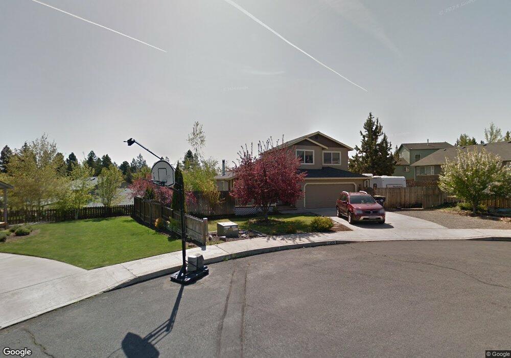
1455 NE Talon Ct Bend, OR 97701
Orchard District NeighborhoodEstimated Value: $562,000 - $632,000
3
Beds
3
Baths
1,604
Sq Ft
$362/Sq Ft
Est. Value
About This Home
This home is located at 1455 NE Talon Ct, Bend, OR 97701 and is currently estimated at $580,710, approximately $362 per square foot. 1455 NE Talon Ct is a home located in Deschutes County with nearby schools including Juniper Elementary School, Mountain View Senior High School, and The Waldorf School of Bend.
Ownership History
Date
Name
Owned For
Owner Type
Purchase Details
Closed on
Feb 9, 2011
Sold by
Amodeo John V and Amodeo Rita Louise
Bought by
Sanford Matthew J
Current Estimated Value
Home Financials for this Owner
Home Financials are based on the most recent Mortgage that was taken out on this home.
Original Mortgage
$100,500
Outstanding Balance
$68,714
Interest Rate
4.84%
Mortgage Type
New Conventional
Estimated Equity
$511,996
Create a Home Valuation Report for This Property
The Home Valuation Report is an in-depth analysis detailing your home's value as well as a comparison with similar homes in the area
Home Values in the Area
Average Home Value in this Area
Purchase History
| Date | Buyer | Sale Price | Title Company |
|---|---|---|---|
| Sanford Matthew J | $134,000 | Amerititle |
Source: Public Records
Mortgage History
| Date | Status | Borrower | Loan Amount |
|---|---|---|---|
| Open | Sanford Matthew J | $100,500 |
Source: Public Records
Tax History Compared to Growth
Tax History
| Year | Tax Paid | Tax Assessment Tax Assessment Total Assessment is a certain percentage of the fair market value that is determined by local assessors to be the total taxable value of land and additions on the property. | Land | Improvement |
|---|---|---|---|---|
| 2025 | $3,436 | $203,380 | -- | -- |
| 2024 | $3,306 | $197,460 | -- | -- |
| 2023 | $3,065 | $191,710 | $0 | $0 |
| 2022 | $2,859 | $180,710 | $0 | $0 |
| 2021 | $2,864 | $175,450 | $0 | $0 |
| 2020 | $2,717 | $175,450 | $0 | $0 |
| 2019 | $2,641 | $170,340 | $0 | $0 |
| 2018 | $2,567 | $165,380 | $0 | $0 |
| 2017 | $2,491 | $160,570 | $0 | $0 |
| 2016 | $2,376 | $155,900 | $0 | $0 |
| 2015 | $2,310 | $151,360 | $0 | $0 |
| 2014 | $2,242 | $146,960 | $0 | $0 |
Source: Public Records
Map
Nearby Homes
- 1407 NE Talon Ct
- 1473 NE Mable Ct
- 2939 NE Quiet Canyon Dr
- 2975 NE Quiet Canyon Dr
- 1482 NE Rumgay Ln
- 2667 NE Jones Rd
- 2843 NE Lotno Dr
- 2640 NE 8th St
- 1333 NE Dempsey Dr
- 3073 NE Quiet Canyon Dr
- 1000 NE Butler Market Rd Unit 1
- 2739 NE Cordata
- 2642 NE Keats Dr
- 822 NE Hidden Valley Dr
- 2976 NE Bluebell Ln
- 21620 NE Butler Market Rd
- 2109 NE 11th Place
- 62906 Bilyeu Way
- 2170 NE 8th St
- 1848 NE 14th St
- 1448 NE Mable Ct
- 1478 NE Talon Ct
- 1476 NE Mable Ct
- 2827 NE Shepard Rd
- 1476 NE Mabel Ct
- 1420 NE Mable Ct
- 1420 NE Mabel Ct
- 1452 NE Talon Ct
- 1426 NE Talon Ct
- 1400 NE Talon Ct
- 2759 NE Shepard Rd
- 1425 NE Mabel Ct
- 1449 NE Mable Ct
- 2850 NE Huettl Ln
- 2813 NE Pilot Butte Dr Unit NE
- 2863 NE Huettl Ln
- 1449 NE Mable Ct
- 2769 NE Pilot Butte Dr Unit NE