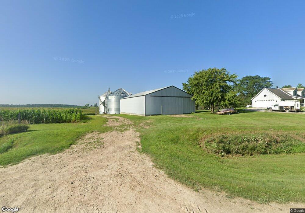
1455 Old Muscatine Rd Tipton, IA 52772
Estimated Value: $366,000 - $1,225,222
1
Bed
2
Baths
1,568
Sq Ft
$435/Sq Ft
Est. Value
About This Home
This home is located at 1455 Old Muscatine Rd, Tipton, IA 52772 and is currently estimated at $681,556, approximately $434 per square foot. 1455 Old Muscatine Rd is a home located in Cedar County with nearby schools including Tipton Elementary School, Tipton Middle School, and Tipton High School.
Ownership History
Date
Name
Owned For
Owner Type
Purchase Details
Closed on
May 22, 2015
Sold by
Nebergall Kevin L and Nebergall Kay L
Bought by
Mente Todd S and Mente Amy R
Current Estimated Value
Home Financials for this Owner
Home Financials are based on the most recent Mortgage that was taken out on this home.
Original Mortgage
$419,250
Outstanding Balance
$322,506
Interest Rate
3.64%
Mortgage Type
Future Advance Clause Open End Mortgage
Estimated Equity
$359,050
Purchase Details
Closed on
Oct 5, 2006
Sold by
Mente Mark S and Mente Sandra L
Bought by
Mente Todd
Create a Home Valuation Report for This Property
The Home Valuation Report is an in-depth analysis detailing your home's value as well as a comparison with similar homes in the area
Home Values in the Area
Average Home Value in this Area
Purchase History
| Date | Buyer | Sale Price | Title Company |
|---|---|---|---|
| Mente Todd S | $645,000 | None Available | |
| Mente Todd | $7,500 | None Available |
Source: Public Records
Mortgage History
| Date | Status | Borrower | Loan Amount |
|---|---|---|---|
| Open | Mente Todd S | $419,250 |
Source: Public Records
Tax History Compared to Growth
Tax History
| Year | Tax Paid | Tax Assessment Tax Assessment Total Assessment is a certain percentage of the fair market value that is determined by local assessors to be the total taxable value of land and additions on the property. | Land | Improvement |
|---|---|---|---|---|
| 2024 | $3,320 | $275,250 | $3,930 | $271,320 |
| 2023 | $2,932 | $266,080 | $3,930 | $262,150 |
| 2022 | $2,736 | $225,160 | $3,050 | $222,110 |
| 2021 | $2,568 | $225,160 | $3,050 | $222,110 |
| 2020 | $2,596 | $208,940 | $3,270 | $205,670 |
| 2019 | $2,406 | $197,770 | $3,270 | $205,670 |
| 2018 | $2,370 | $197,770 | $0 | $0 |
| 2017 | $2,370 | $195,140 | $0 | $0 |
| 2016 | $2,208 | $179,190 | $0 | $0 |
| 2015 | $2,340 | $180,840 | $0 | $0 |
| 2014 | -- | $180,840 | $0 | $0 |
Source: Public Records
Map
Nearby Homes