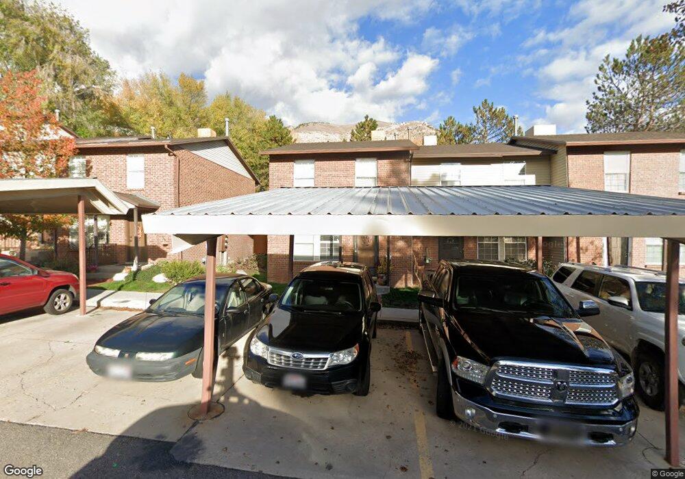
1456 S 1615 E Unit 4A Ogden, UT 84404
Horace Mann NeighborhoodEstimated Value: $256,000 - $272,000
2
Beds
2
Baths
1,080
Sq Ft
$242/Sq Ft
Est. Value
About This Home
This home is located at 1456 S 1615 E Unit 4A, Ogden, UT 84404 and is currently estimated at $260,821, approximately $241 per square foot. 1456 S 1615 E Unit 4A is a home located in Weber County with nearby schools including Mound Fort Junior High School and Ben Lomond High School.
Ownership History
Date
Name
Owned For
Owner Type
Purchase Details
Closed on
Oct 18, 2024
Sold by
Tooker Elisha R
Bought by
Rock Jeremy and Rock Erika
Current Estimated Value
Home Financials for this Owner
Home Financials are based on the most recent Mortgage that was taken out on this home.
Original Mortgage
$212,500
Outstanding Balance
$209,421
Interest Rate
6.35%
Mortgage Type
New Conventional
Estimated Equity
$51,400
Purchase Details
Closed on
May 16, 2006
Sold by
Martinez Erlinda
Bought by
Mondfrans Brenda
Purchase Details
Closed on
Dec 27, 2000
Sold by
Martinez Erlinda
Bought by
Martinez Erlinda
Home Financials for this Owner
Home Financials are based on the most recent Mortgage that was taken out on this home.
Original Mortgage
$64,000
Interest Rate
7.71%
Create a Home Valuation Report for This Property
The Home Valuation Report is an in-depth analysis detailing your home's value as well as a comparison with similar homes in the area
Home Values in the Area
Average Home Value in this Area
Purchase History
| Date | Buyer | Sale Price | Title Company |
|---|---|---|---|
| Rock Jeremy | -- | Us Title | |
| Mondfrans Brenda | -- | Us Title Of Utah Ogden | |
| Martinez Erlinda | -- | Backman Stewart Title |
Source: Public Records
Mortgage History
| Date | Status | Borrower | Loan Amount |
|---|---|---|---|
| Open | Rock Jeremy | $212,500 | |
| Previous Owner | Martinez Erlinda | $64,000 |
Source: Public Records
Tax History
| Year | Tax Paid | Tax Assessment Tax Assessment Total Assessment is a certain percentage of the fair market value that is determined by local assessors to be the total taxable value of land and additions on the property. | Land | Improvement |
|---|---|---|---|---|
| 2025 | $1,826 | $267,648 | $60,000 | $207,648 |
| 2024 | $1,876 | $148,500 | $33,000 | $115,500 |
| 2023 | $1,898 | $151,250 | $33,000 | $118,250 |
| 2022 | $1,790 | $143,000 | $33,000 | $110,000 |
| 2021 | $1,327 | $176,000 | $40,000 | $136,000 |
| 2020 | $1,110 | $136,000 | $22,000 | $114,000 |
| 2019 | $1,096 | $126,000 | $22,000 | $104,000 |
| 2018 | $998 | $114,000 | $22,000 | $92,000 |
| 2017 | $834 | $89,000 | $15,000 | $74,000 |
| 2016 | $772 | $44,550 | $8,250 | $36,300 |
| 2015 | $664 | $37,400 | $8,250 | $29,150 |
| 2014 | $597 | $33,000 | $8,250 | $24,750 |
Source: Public Records
Map
Nearby Homes
- 1677 E 1450 S
- 1695 E 1425 S
- 1372 Millcreek Dr Unit 8
- 1346 Millcreek Dr Unit 6
- 1534 Tyler Ave
- 994 Mountain Rd
- 1281 16th St
- 1277 16th St
- 1273 16th St
- 915 Hislop Dr
- 1660 Dunsinane Cir
- 1175 Canyon Rd Unit A21
- 1175 Canyon Rd Unit 77
- 1435 S 1195 E Unit 19
- 1167 16th St
- 1255 Valley Dr Unit 2
- 1565 E 775 S Unit 7
- 1565 E 775 S Unit 16
- 1120 Canyon Rd Unit 28
- 1120 Canyon Rd Unit 16
- 1458 S 1615 E Unit 4B
- 1450 S 1615 E Unit 2C
- 1450 S 1615 E Unit 26
- 1460 S 1615 E Unit 4C
- 1448 S 1615 E Unit 2B
- 1446 S 1615 E Unit 2A
- 1455 S 1650 E Unit 7C
- 1457 S 1650 E
- 1457 S 1650 E Unit 7B
- 1461 S 1650 E
- 1461 S 1615 E Unit 3A
- 1453 S 1650 E Unit 7D
- 1455 S 1615 E Unit 1C
- 1453 S 1615 E
- 1447 S 1650 E
- 1625 E 1470 S Unit 5B
- 1463 S 1615 E Unit 3B
- 1451 S 1615 E Unit 1A
- 1623 E 1470 S Unit 5A
- 1467 S 1615 E Unit 3C
Your Personal Tour Guide
Ask me questions while you tour the home.