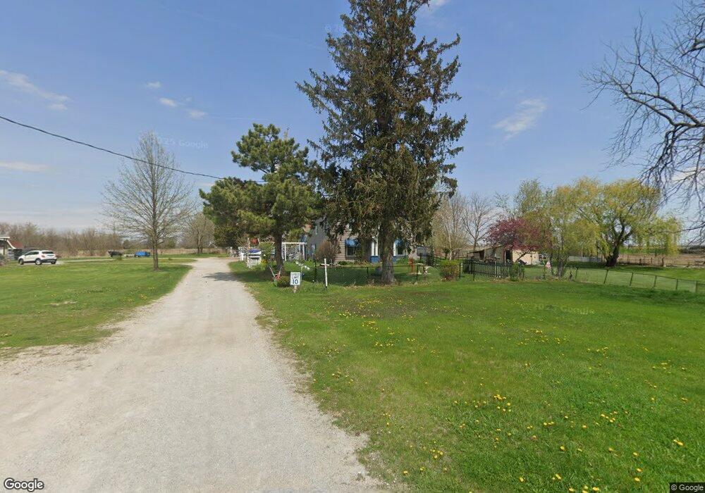
14565 61st Ave Blue Grass, IA 52726
Estimated Value: $234,375 - $492,000
4
Beds
2
Baths
2,262
Sq Ft
$149/Sq Ft
Est. Value
About This Home
This home is located at 14565 61st Ave, Blue Grass, IA 52726 and is currently estimated at $338,094, approximately $149 per square foot. 14565 61st Ave is a home located in Scott County with nearby schools including Blue Grass Elementary School, Walcott Intermediate School, and West High School.
Ownership History
Date
Name
Owned For
Owner Type
Purchase Details
Closed on
Feb 28, 2008
Sold by
Blue Grass Savings Bank
Bought by
Barth David E and Barth Frances E
Current Estimated Value
Home Financials for this Owner
Home Financials are based on the most recent Mortgage that was taken out on this home.
Original Mortgage
$55,000
Outstanding Balance
$34,126
Interest Rate
5.75%
Mortgage Type
Purchase Money Mortgage
Estimated Equity
$303,968
Purchase Details
Closed on
Sep 26, 2007
Sold by
Park Lawrence L and Park Mary L
Bought by
Blue Grass Savings Bank
Create a Home Valuation Report for This Property
The Home Valuation Report is an in-depth analysis detailing your home's value as well as a comparison with similar homes in the area
Home Values in the Area
Average Home Value in this Area
Purchase History
| Date | Buyer | Sale Price | Title Company |
|---|---|---|---|
| Barth David E | $60,000 | None Available | |
| Blue Grass Savings Bank | -- | None Available |
Source: Public Records
Mortgage History
| Date | Status | Borrower | Loan Amount |
|---|---|---|---|
| Open | Barth David E | $55,000 |
Source: Public Records
Tax History Compared to Growth
Tax History
| Year | Tax Paid | Tax Assessment Tax Assessment Total Assessment is a certain percentage of the fair market value that is determined by local assessors to be the total taxable value of land and additions on the property. | Land | Improvement |
|---|---|---|---|---|
| 2025 | $1,552 | $164,300 | $58,400 | $105,900 |
| 2024 | $1,584 | $159,600 | $58,400 | $101,200 |
| 2023 | $1,754 | $159,600 | $58,400 | $101,200 |
| 2022 | $1,778 | $135,110 | $36,700 | $98,410 |
| 2021 | $1,778 | $135,110 | $36,700 | $98,410 |
| 2020 | $1,626 | $122,900 | $36,700 | $86,200 |
| 2019 | $1,656 | $121,220 | $36,700 | $84,520 |
| 2018 | $1,620 | $121,220 | $36,700 | $84,520 |
| 2017 | $1,836 | $121,220 | $36,700 | $84,520 |
| 2016 | $1,756 | $130,650 | $0 | $0 |
| 2015 | $1,756 | $125,940 | $0 | $0 |
| 2014 | $1,726 | $125,940 | $0 | $0 |
| 2013 | $1,698 | $0 | $0 | $0 |
| 2012 | -- | $126,080 | $36,700 | $89,380 |
Source: Public Records
Map
Nearby Homes
- 680 Sweet Wood Ln
- 501 Prairie Meadow Dr
- 508 Prairie Meadow Dr
- 126 S Genessee St
- 451 Celeste Cir
- 783 Sweet Wood Ln
- 423 Kevin Rd
- 801 S Mississippi St
- 606 Kevin Rd
- 3881 Highway 61
- 13109 83rd Ave
- 6218 114th St
- 7 Sandpiper Dr
- 1544 Wildlife Dr
- 1530 Wildlife Dr
- 1519 Wildlife Dr
- 1528 Wildlife Dr
- 1526 Wildlife Dr
- 1517 Wildlife Dr
- 1520 Wildlife Dr
- 6142 145th St
- 6020 145th St
- 122 Prairie Meadow Dr
- 6162 145th St
- 200 Prairie Meadow Dr
- 6010 145th St
- 214 Prairie Meadow Dr
- 749 Adams Ln
- 107 Prairie Meadow Dr
- 111 Prairie Meadow Dr
- 0 145th Unit 4100996
- 0 145th Unit 4105090
- 0 145th Unit 4100964
- 0 145th Unit 4105091
- 0 145th Unit 4126756
- 306 Prairie Meadow Dr
- Lot 17 Prairie Meadow Dr
- Lot 19 Prairie Meadow Dr
- Lot 18 Prairie Meadow Dr
- Lot 15 Prairie Meadow Dr