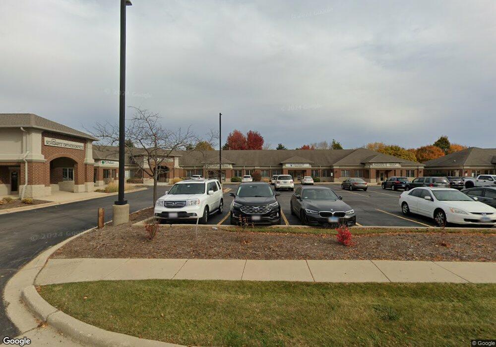
1457 Merchant Dr Algonquin, IL 60102
Estimated Value: $303,000
--
Bed
--
Bath
--
Sq Ft
2.63
Acres
About This Home
This home is located at 1457 Merchant Dr, Algonquin, IL 60102 and is currently priced at $303,000. 1457 Merchant Dr is a home located in McHenry County with nearby schools including Westfield Community School, Kenneth E Neubert Elementary School, and United Junior High School.
Ownership History
Date
Name
Owned For
Owner Type
Purchase Details
Closed on
Apr 9, 2017
Sold by
D W Stonehocker Inc
Bought by
Hausch Properties Llc
Current Estimated Value
Purchase Details
Closed on
Jun 15, 2005
Sold by
Harris Na
Bought by
D W Stonehocker Inc
Home Financials for this Owner
Home Financials are based on the most recent Mortgage that was taken out on this home.
Original Mortgage
$330,000
Interest Rate
5.82%
Mortgage Type
Commercial
Create a Home Valuation Report for This Property
The Home Valuation Report is an in-depth analysis detailing your home's value as well as a comparison with similar homes in the area
Home Values in the Area
Average Home Value in this Area
Purchase History
| Date | Buyer | Sale Price | Title Company |
|---|---|---|---|
| Hausch Properties Llc | -- | Attorney | |
| D W Stonehocker Inc | $287,625 | St |
Source: Public Records
Mortgage History
| Date | Status | Borrower | Loan Amount |
|---|---|---|---|
| Previous Owner | D W Stonehocker Inc | $330,000 |
Source: Public Records
Tax History Compared to Growth
Tax History
| Year | Tax Paid | Tax Assessment Tax Assessment Total Assessment is a certain percentage of the fair market value that is determined by local assessors to be the total taxable value of land and additions on the property. | Land | Improvement |
|---|---|---|---|---|
| 2024 | $5,950 | $76,056 | $15,212 | $60,844 |
| 2023 | $9,056 | $108,179 | $33,146 | $75,033 |
| 2022 | $8,373 | $97,634 | $29,915 | $67,719 |
| 2021 | $8,071 | $90,957 | $27,869 | $63,088 |
| 2020 | $7,878 | $87,737 | $26,882 | $60,855 |
| 2019 | $7,711 | $83,975 | $25,729 | $58,246 |
| 2018 | $7,394 | $77,575 | $23,768 | $53,807 |
| 2017 | $7,277 | $73,081 | $22,391 | $50,690 |
| 2016 | $7,208 | $68,544 | $21,001 | $47,543 |
| 2013 | -- | $66,848 | $19,591 | $47,257 |
Source: Public Records
Map
Nearby Homes
- 000 County Line Rd
- 2161 Burnham Ct
- 2043 Peach Tree Ln Unit 4122
- 2101 Peach Tree Ln Unit 4094
- 1971 Peach Tree Ln
- 30 Arbordale Ct Unit 4284
- 1900 Waverly Ln
- 2235 Dawson Ln
- 741 Regal Ln
- 2060 Dorchester Ave
- 1820 Crofton Dr
- 2248 Dawson Ln Unit 272
- Marianne Plan at Algonquin Meadows - Traditional Townhomes
- Darcy Plan at Algonquin Meadows - Traditional Townhomes
- Charlotte Plan at Algonquin Meadows - Traditional Townhomes
- Adams Plan at Algonquin Meadows - Single Family
- Sequoia Plan at Algonquin Meadows - Single Family
- Bryce Plan at Algonquin Meadows - Single Family
- Rainier Plan at Algonquin Meadows - Single Family
- Santa Rosa Plan at Algonquin Meadows - Single Family
- 1485 Merchant Dr Unit 1485
- 1485 Merchant Dr Unit 1
- 1485 Merchant Dr Unit 2
- 1481 Merchant Dr
- 1489 Merchant Dr
- 1493 Merchant Dr
- 1460 Carlisle St
- 1450 Carlisle St
- 1470 Carlisle St
- 1451 Merchant Dr
- 1497 Merchant Dr
- 1445 Merchant Dr
- 1443 Merchant Dr Unit 1443
- 1440 Carlisle St
- 1441 Merchant Dr
- 1480 Carlisle St
- 1430 Carlisle St
- 1482 Merchant Dr
- 1488 Merchant Dr
- 1496 Merchant Dr