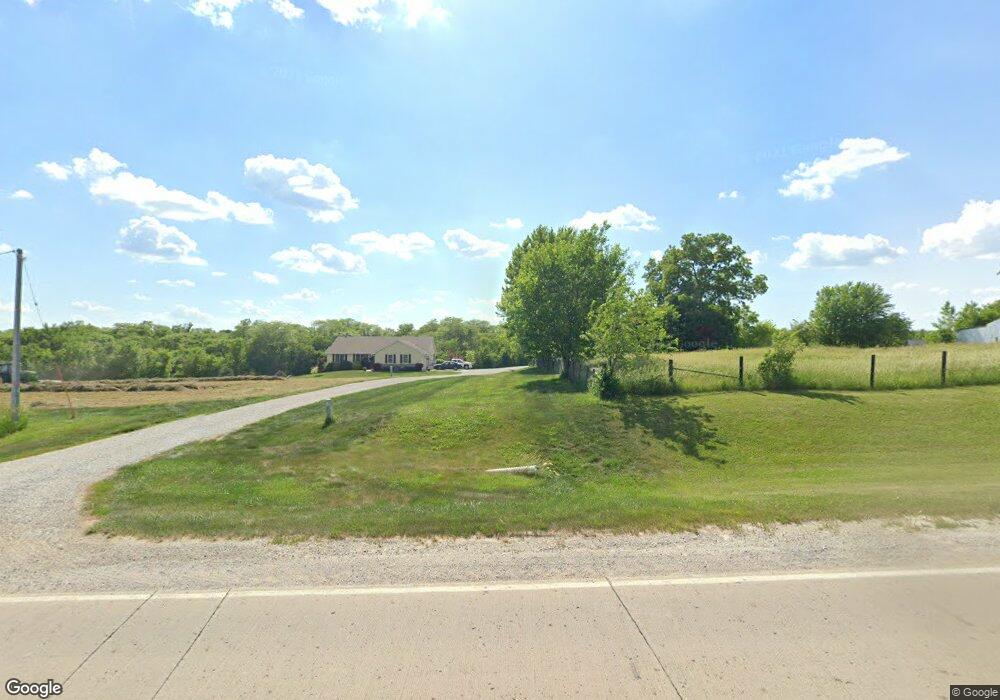
14570 S23 Hwy Milo, IA 50166
Warren County NeighborhoodEstimated Value: $344,000 - $627,712
3
Beds
5
Baths
1,828
Sq Ft
$264/Sq Ft
Est. Value
About This Home
This home is located at 14570 S23 Hwy, Milo, IA 50166 and is currently estimated at $482,678, approximately $264 per square foot. 14570 S23 Hwy is a home located in Warren County with nearby schools including Southeast Warren Primary School, Southeast Warren Intermediate School, and Southeast Warren Junior/Senior High School.
Ownership History
Date
Name
Owned For
Owner Type
Purchase Details
Closed on
Nov 2, 2000
Sold by
Claghron Alan and Claghron Alan K
Bought by
Johnson Robert E and Johnson Kimberly M
Current Estimated Value
Home Financials for this Owner
Home Financials are based on the most recent Mortgage that was taken out on this home.
Original Mortgage
$25,000
Interest Rate
6.41%
Mortgage Type
Purchase Money Mortgage
Create a Home Valuation Report for This Property
The Home Valuation Report is an in-depth analysis detailing your home's value as well as a comparison with similar homes in the area
Home Values in the Area
Average Home Value in this Area
Purchase History
| Date | Buyer | Sale Price | Title Company |
|---|---|---|---|
| Johnson Robert E | $59,000 | None Available |
Source: Public Records
Mortgage History
| Date | Status | Borrower | Loan Amount |
|---|---|---|---|
| Previous Owner | Johnson Robert E | $25,000 |
Source: Public Records
Tax History Compared to Growth
Tax History
| Year | Tax Paid | Tax Assessment Tax Assessment Total Assessment is a certain percentage of the fair market value that is determined by local assessors to be the total taxable value of land and additions on the property. | Land | Improvement |
|---|---|---|---|---|
| 2024 | $5,986 | $506,600 | $86,400 | $420,200 |
| 2023 | $5,212 | $506,600 | $86,400 | $420,200 |
| 2022 | $4,850 | $402,500 | $84,900 | $317,600 |
| 2021 | $5,024 | $402,500 | $84,900 | $317,600 |
| 2020 | $5,024 | $383,200 | $84,900 | $298,300 |
| 2019 | $4,932 | $383,200 | $84,900 | $298,300 |
| 2018 | $5,384 | $349,900 | $0 | $0 |
| 2017 | $5,384 | $349,900 | $0 | $0 |
| 2016 | $5,206 | $333,400 | $0 | $0 |
| 2015 | $5,206 | $333,400 | $0 | $0 |
| 2014 | $5,184 | $336,500 | $0 | $0 |
Source: Public Records
Map
Nearby Homes
- 02 S 23 Hwy
- 329 Spruce St
- 209 N 2nd St
- 212 Pine St
- 13426 169th Ln
- 308 S 3rd St
- 3863 Meadow Rose Ln
- 3875 Meadow Rose Ln
- 3918 Meadow Rose Ln
- 3906 Meadow Rose Ln
- 3894 Meadow Rose Ln
- 3870 Meadow Rose Ln
- 3858 Meadow Rose Ln
- 3846 Meadow Rose Ln
- 3834 Meadow Rose Ln
- 11838 S23 Hwy
- TBD 22 88 Acres St
- Lot 4 Kennedy St
- Lot 2 Kennedy St
- 16295 Kennedy St
- 14600 S23 Hwy
- 14532 S23 Hwy
- 14720 S23 Hwy
- 14358 S23 Hwy
- 14308 S23 Hwy
- 14724 S23 Hwy
- 14447 S23 Hwy
- 14729 S23 Hwy
- 14223 S23 Hwy
- 19251 Mckinley St
- 14816 S23 Hwy
- 19394 Mckinley St
- 13478 190th Ave
- 13444 190th Ave
- 19691 Mckinley St
- 18201 Merrill St
- 19298 Nevada St
- 18532 Nevada St
- 0 180th Ave
- 13255 190th Ave