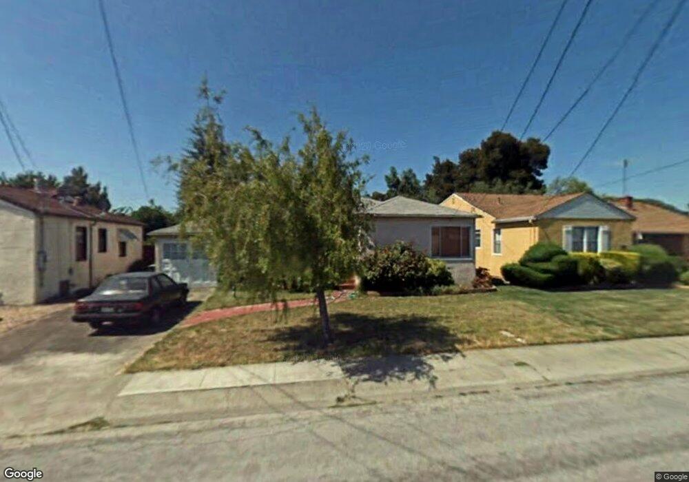
14579 Lark St San Leandro, CA 94578
Upper Bal NeighborhoodEstimated Value: $738,444 - $768,000
3
Beds
1
Bath
1,113
Sq Ft
$678/Sq Ft
Est. Value
About This Home
This home is located at 14579 Lark St, San Leandro, CA 94578 and is currently estimated at $755,111, approximately $678 per square foot. 14579 Lark St is a home located in Alameda County with nearby schools including Jefferson Elementary School, Bancroft Middle School, and San Leandro High School.
Ownership History
Date
Name
Owned For
Owner Type
Purchase Details
Closed on
Sep 20, 1996
Sold by
Baxter Marlys J and Top Richard B
Bought by
Goff Ruel M
Current Estimated Value
Home Financials for this Owner
Home Financials are based on the most recent Mortgage that was taken out on this home.
Original Mortgage
$136,750
Outstanding Balance
$11,401
Interest Rate
7.87%
Mortgage Type
VA
Estimated Equity
$743,710
Purchase Details
Closed on
Mar 5, 1996
Sold by
Baxter Marlys J and Anna Top Revocable Trust
Bought by
Baxter Marlys J and Top Richard B
Create a Home Valuation Report for This Property
The Home Valuation Report is an in-depth analysis detailing your home's value as well as a comparison with similar homes in the area
Home Values in the Area
Average Home Value in this Area
Purchase History
| Date | Buyer | Sale Price | Title Company |
|---|---|---|---|
| Goff Ruel M | $152,000 | Fidelity National Title Co | |
| Baxter Marlys J | -- | -- |
Source: Public Records
Mortgage History
| Date | Status | Borrower | Loan Amount |
|---|---|---|---|
| Open | Goff Ruel M | $136,750 |
Source: Public Records
Tax History Compared to Growth
Tax History
| Year | Tax Paid | Tax Assessment Tax Assessment Total Assessment is a certain percentage of the fair market value that is determined by local assessors to be the total taxable value of land and additions on the property. | Land | Improvement |
|---|---|---|---|---|
| 2025 | $3,582 | $240,544 | $74,263 | $173,281 |
| 2024 | $3,582 | $235,691 | $72,807 | $169,884 |
| 2023 | $3,601 | $237,934 | $71,380 | $166,554 |
| 2022 | $3,481 | $226,268 | $69,980 | $163,288 |
| 2021 | $3,371 | $221,695 | $68,608 | $160,087 |
| 2020 | $3,277 | $226,351 | $67,905 | $158,446 |
| 2019 | $3,170 | $221,914 | $66,574 | $155,340 |
| 2018 | $3,054 | $217,564 | $65,269 | $152,295 |
| 2017 | $3,010 | $213,300 | $63,990 | $149,310 |
| 2016 | $2,845 | $209,117 | $62,735 | $146,382 |
| 2015 | $2,787 | $205,977 | $61,793 | $144,184 |
| 2014 | $2,763 | $201,943 | $60,583 | $141,360 |
Source: Public Records
Map
Nearby Homes
- 14831 Bancroft Ave Unit Space 27
- 1947 Placer Dr
- 1939 Placer Dr
- 14850 Donna St
- 0 Saturn Dr
- 14955 Lark St
- 14960 Portofino Cir
- 14972 Lark St
- 14973 Patton Ave
- 14101 E 14th St Unit 306
- 1315 Dorothy Ave
- 1253 139th Ave
- 1293 Vistagrand Dr
- 1203 147th Ave
- 1207 147th Ave Unit D
- 14875 Western Ave
- 2290 Upland Rd
- 1162 136th Ave
- 1112 Adason Dr
- 851 Kenyon Ave