1458 White Dirt Rd Dobson, NC 27017
Estimated Value: $404,000 - $492,000
3
Beds
2
Baths
2,591
Sq Ft
$171/Sq Ft
Est. Value
About This Home
This home is located at 1458 White Dirt Rd, Dobson, NC 27017 and is currently estimated at $442,392, approximately $170 per square foot. 1458 White Dirt Rd is a home with nearby schools including Dobson Elementary School, Central Middle School, and Surry Central High School.
Ownership History
Date
Name
Owned For
Owner Type
Purchase Details
Closed on
Aug 11, 2005
Sold by
Whitaker Ricky Dale
Bought by
Whitaker Ricky Dale and Whitaker Regina L
Current Estimated Value
Home Financials for this Owner
Home Financials are based on the most recent Mortgage that was taken out on this home.
Original Mortgage
$35,000
Outstanding Balance
$18,058
Interest Rate
5.48%
Mortgage Type
Purchase Money Mortgage
Estimated Equity
$424,334
Purchase Details
Closed on
May 1, 1992
Purchase Details
Closed on
Jan 1, 1973
Create a Home Valuation Report for This Property
The Home Valuation Report is an in-depth analysis detailing your home's value as well as a comparison with similar homes in the area
Home Values in the Area
Average Home Value in this Area
Purchase History
| Date | Buyer | Sale Price | Title Company |
|---|---|---|---|
| Whitaker Ricky Dale | -- | None Available | |
| -- | $18,000 | -- | |
| -- | -- | -- |
Source: Public Records
Mortgage History
| Date | Status | Borrower | Loan Amount |
|---|---|---|---|
| Open | Whitaker Ricky Dale | $35,000 |
Source: Public Records
Tax History Compared to Growth
Tax History
| Year | Tax Paid | Tax Assessment Tax Assessment Total Assessment is a certain percentage of the fair market value that is determined by local assessors to be the total taxable value of land and additions on the property. | Land | Improvement |
|---|---|---|---|---|
| 2025 | $1,871 | $313,330 | $57,430 | $255,900 |
| 2024 | $1,597 | $243,940 | $49,080 | $194,860 |
| 2023 | $1,570 | $243,940 | $49,080 | $194,860 |
| 2022 | $1,557 | $243,940 | $49,080 | $194,860 |
| 2021 | $1,584 | $243,940 | $49,080 | $194,860 |
| 2020 | $1,504 | $224,490 | $45,950 | $178,540 |
| 2019 | $1,501 | $224,490 | $45,950 | $178,540 |
| 2018 | $1,475 | $224,490 | $0 | $0 |
| 2017 | $1,498 | $224,490 | $0 | $0 |
| 2016 | $1,482 | $224,490 | $0 | $0 |
| 2013 | -- | $230,600 | $0 | $0 |
Source: Public Records
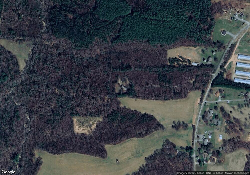
Map
Nearby Homes
- 00 White Dirt Rd
- Lot 12 Fisher Valley Rd
- Lot 10 Fisher Valley Rd
- 000 Crossroads Church Rd
- Lot 9 Fisher Valley Rd
- Lot 11 Fisher Valley Rd
- Lot 13 Fisher Valley Rd
- Lot 14 Fisher Valley Rd
- Lot 15 Fisher Valley Rd
- 17.96 Acres Aubrey Thomas Ln
- 19.313 +/- acres Fisher Valley Rd
- 0 Fisher Valley Rd
- 446 Grover Simmons Rd
- 00 Bert Cockerham Rd
- 0 Bert Cockerham Rd
- 000 Bert Cockerham Rd
- 105 Pepperbush Trail
- 4 Haystack Rd
- 1783 Prison Camp Rd
- 1079 Red Hill Creek Rd
- 1444 White Dirt Rd
- 1509 White Dirt Rd
- 1554 White Dirt Rd
- 117 Harrell Ln
- 1541 White Dirt Rd
- 1557 White Dirt Rd
- 1600 White Dirt Rd
- 1593 White Dirt Rd
- 115 Skylark Ln
- 1425 White Dirt Rd
- 1384 White Dirt Rd
- 1658 White Dirt Rd
- Lot 3 Hodges Mill
- 141 Hodges Mill Rd
- LOT 6 Money Rd
- LOT 5 Money Rd
- TBD Money Rd Unit Lot 5 and 6
- TBD Money Rd
- Lot 2 Hodges Mill
- 165 Money Rd