1459 Monroe Landing Rd Oak Harbor, WA 98277
Estimated Value: $441,000 - $492,674
1
Bed
1
Bath
1,200
Sq Ft
$389/Sq Ft
Est. Value
About This Home
This home is located at 1459 Monroe Landing Rd, Oak Harbor, WA 98277 and is currently estimated at $467,225, approximately $389 per square foot. 1459 Monroe Landing Rd is a home located in Island County with nearby schools including Hillcrest Elementary School, Oak Harbor Middle School, and Oak Harbor High School.
Ownership History
Date
Name
Owned For
Owner Type
Purchase Details
Closed on
Dec 29, 2020
Sold by
Mckenzie Lee
Bought by
Mckenzie Craig R
Current Estimated Value
Home Financials for this Owner
Home Financials are based on the most recent Mortgage that was taken out on this home.
Original Mortgage
$181,951
Outstanding Balance
$132,078
Interest Rate
2.7%
Mortgage Type
New Conventional
Estimated Equity
$335,147
Purchase Details
Closed on
Nov 22, 2005
Sold by
Mckenzie Craig
Bought by
Island County
Purchase Details
Closed on
Mar 25, 2005
Sold by
Mckenzie Craig and Mckenzie Lee C
Bought by
State Of Washington
Create a Home Valuation Report for This Property
The Home Valuation Report is an in-depth analysis detailing your home's value as well as a comparison with similar homes in the area
Home Values in the Area
Average Home Value in this Area
Purchase History
| Date | Buyer | Sale Price | Title Company |
|---|---|---|---|
| Mckenzie Craig R | -- | Premier Title Of Island Cnty | |
| Island County | $3,200 | None Available | |
| State Of Washington | -- | -- |
Source: Public Records
Mortgage History
| Date | Status | Borrower | Loan Amount |
|---|---|---|---|
| Open | Mckenzie Craig R | $181,951 |
Source: Public Records
Tax History Compared to Growth
Tax History
| Year | Tax Paid | Tax Assessment Tax Assessment Total Assessment is a certain percentage of the fair market value that is determined by local assessors to be the total taxable value of land and additions on the property. | Land | Improvement |
|---|---|---|---|---|
| 2025 | $3,061 | $456,042 | $290,000 | $166,042 |
| 2024 | $2,758 | $428,440 | $260,000 | $168,440 |
| 2023 | $2,758 | $387,269 | $250,000 | $137,269 |
| 2022 | $3,151 | $346,467 | $220,000 | $126,467 |
| 2021 | $2,618 | $301,864 | $190,000 | $111,864 |
| 2020 | $2,893 | $249,613 | $140,000 | $109,613 |
| 2019 | $2,376 | $278,795 | $200,000 | $78,795 |
| 2018 | $2,416 | $249,117 | $170,000 | $79,117 |
| 2017 | $2,272 | $223,880 | $160,000 | $63,880 |
| 2016 | $1,957 | $225,001 | $160,000 | $65,001 |
| 2015 | $2,009 | $186,122 | $120,000 | $66,122 |
| 2013 | -- | $162,323 | $93,960 | $68,363 |
Source: Public Records
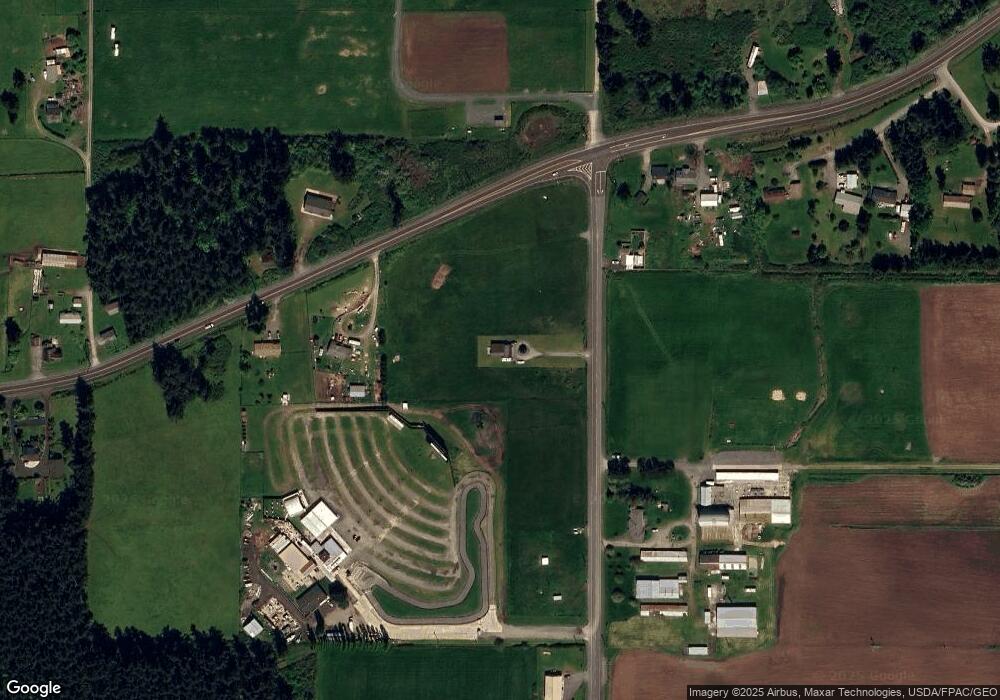
Map
Nearby Homes
- 0 State Route 20 Unit NWM2157311
- 0 State Route 20 Unit NWM2362163
- 0 State Route 20 Unit NWM2157309
- 1976 N Boon Rd
- 3162 SW Greatview Place
- 560 SW Waterloo Ave
- 1839 Wellington Dr
- 1649 Scenic Heights Rd
- 1085 Harrison St
- 2447 Ridgeway Dr
- 2443 Ridgeway Dr
- 3224 SW Scenic Heights St
- 1476 Boon Hollow Ln
- 2425 Ridgeway Dr
- 2426 SW Ridgeway Dr
- 2406 SW Ridgeway Dr
- 2296 SW Rosario Place
- 2375 SW Navigator Loop
- 1496 Bonnie View Acres Rd
- The Prescott A Plan at Ridgeway Heights
- 29104 Sr 20
- 29112 State Route 20 Unit A
- 1480 Monroe Landing Rd
- 29103 State Route 20
- 29332 State Route 20
- 29308 Sr 20
- 0 State Route 20 Unit 314697
- 0 State Route 20 Unit 1181139
- 0 State Route 20 Unit 22211098
- 0 State Route 20 Unit NWM21061049
- 0 State Route 20 Unit NWM2254242
- 0 State Route 20 Unit NWM2234949
- 0 State Route 20 Unit NWM2161752
- 0 State Route 20 Unit NWM2157306
- 0 State Route 20 Unit NWM2135376
- 0 State Route 20 Unit NWM2067087
- 0 State Route 20 Unit 1944364
- 0 State Route 20 Unit 1571615
- 0 State Route 20 Unit 1524633
- 29332 Sr 20