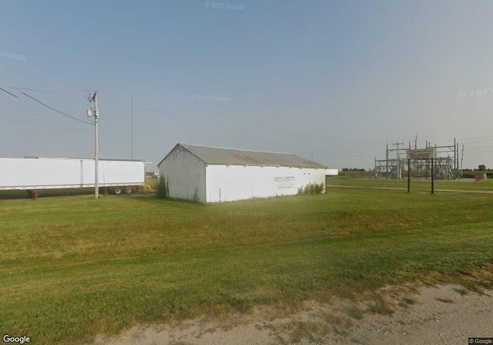
14591 3rd St Ottumwa, IA 52501
--
Bed
--
Bath
8,920
Sq Ft
4.74
Acres
About This Home
This home is located at 14591 3rd St, Ottumwa, IA 52501. 14591 3rd St is a home located in Wapello County with nearby schools including Eisenhower Elementary School, Evans Middle School, and Ottumwa High School.
Ownership History
Date
Name
Owned For
Owner Type
Purchase Details
Closed on
May 11, 2018
Sold by
Community 1St Cu
Bought by
Pooles Truck Service Inc
Home Financials for this Owner
Home Financials are based on the most recent Mortgage that was taken out on this home.
Original Mortgage
$140,000
Outstanding Balance
$102,191
Interest Rate
4.4%
Mortgage Type
Unknown
Purchase Details
Closed on
May 29, 2009
Sold by
Delong Larry S and Delong Geraldine
Bought by
Cobler Shop Inc
Create a Home Valuation Report for This Property
The Home Valuation Report is an in-depth analysis detailing your home's value as well as a comparison with similar homes in the area
Home Values in the Area
Average Home Value in this Area
Purchase History
| Date | Buyer | Sale Price | Title Company |
|---|---|---|---|
| Pooles Truck Service Inc | $175,000 | -- | |
| Cobler Shop Inc | $290,000 | None Available |
Source: Public Records
Mortgage History
| Date | Status | Borrower | Loan Amount |
|---|---|---|---|
| Open | Pooles Truck Service Inc | $140,000 |
Source: Public Records
Tax History Compared to Growth
Tax History
| Year | Tax Paid | Tax Assessment Tax Assessment Total Assessment is a certain percentage of the fair market value that is determined by local assessors to be the total taxable value of land and additions on the property. | Land | Improvement |
|---|---|---|---|---|
| 2025 | $4,792 | $293,780 | $63,700 | $230,080 |
| 2024 | $4,792 | $250,450 | $63,700 | $186,750 |
| 2023 | $3,700 | $251,150 | $63,700 | $187,450 |
| 2022 | $3,422 | $212,480 | $63,700 | $148,780 |
| 2021 | $5,425 | $177,350 | $32,760 | $144,590 |
| 2020 | $2,746 | $177,350 | $32,760 | $144,590 |
| 2019 | $2,786 | $177,350 | $0 | $0 |
| 2018 | $2,736 | $177,350 | $0 | $0 |
| 2017 | $3,250 | $206,219 | $0 | $0 |
| 2016 | $3,196 | $206,219 | $0 | $0 |
| 2015 | $2,846 | $180,894 | $0 | $0 |
| 2014 | $4,872 | $180,894 | $0 | $0 |
Source: Public Records
Map
Nearby Homes
- 0 150th Unit 6314578
- 34 Pinehurst Cir
- 32 Pinehurst Cir
- 11995 Rutledge Rd
- 10 Bell Dr
- 627 Edwards Dr
- 74 Schwartz Dr
- 2620 Marilyn Rd
- 11652 Rutledge Rd
- 0 E Rochester Rd
- 307 E Rochester Rd
- 2633 Clearview St
- 463 E Rochester Rd
- 2540 Kenwood St
- 211 Elmdale Ave
- 11994 118th Ave
- 444 Crestview Ave
- 2438 N Jefferson St
- 45 Brookwood Ct
- 2 Woodshire Dr
- 13973 Airport Rd
- 14402 Sycamore Rd
- 13981 Airport Rd
- 14231 Sycamore Rd
- 0 Angle Rd
- 14146 Sycamore Rd
- 14401 Terminal Ave
- 14470 Terminal Ave
- 14791 Terminal Ave
- 8245 2nd Ave
- 14540 First Ave
- 14540 1st Ave
- 14021 Airport Rd
- 13739 Angle Rd
- 13894 Angle Rd
- 13720 Angle Rd
- 13688 Angle Rd
- 13665 Angle Rd
- 15008 150th St
- 13591 Angle Rd