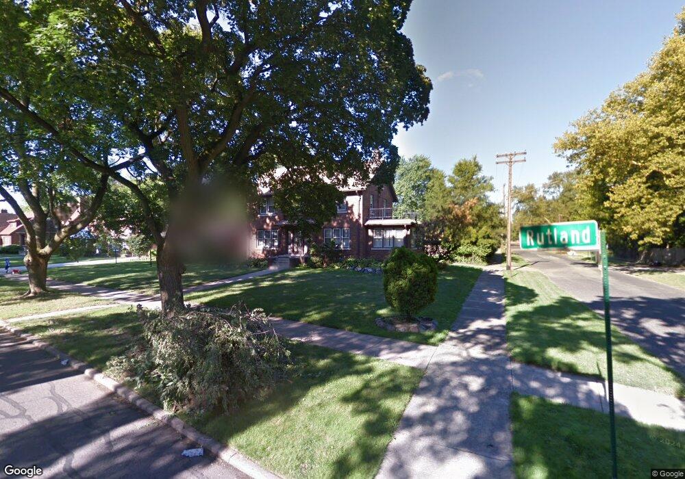
14593 Rutland St Detroit, MI 48227
Grandmont NeighborhoodEstimated Value: $238,000 - $349,091
4
Beds
2
Baths
2,400
Sq Ft
$122/Sq Ft
Est. Value
About This Home
This home is located at 14593 Rutland St, Detroit, MI 48227 and is currently estimated at $292,523, approximately $121 per square foot. 14593 Rutland St is a home located in Wayne County with nearby schools including Edison Elementary School, Burns Elementary/Middle School, and Charles L. Spain Elementary-Middle School.
Ownership History
Date
Name
Owned For
Owner Type
Purchase Details
Closed on
Jan 8, 2013
Sold by
Simpkins Antjuan
Bought by
Tabron James
Current Estimated Value
Purchase Details
Closed on
Apr 21, 2009
Sold by
Towne Mortgage Company
Bought by
Federal National Mortgage Association
Purchase Details
Closed on
Apr 15, 2009
Sold by
Dorsett Thomas A and Dorsett Barbara S
Bought by
Towne Mortgage Company
Create a Home Valuation Report for This Property
The Home Valuation Report is an in-depth analysis detailing your home's value as well as a comparison with similar homes in the area
Home Values in the Area
Average Home Value in this Area
Purchase History
| Date | Buyer | Sale Price | Title Company |
|---|---|---|---|
| Tabron James | $4,000 | None Available | |
| Federal National Mortgage Association | -- | None Available | |
| Towne Mortgage Company | $179,462 | None Available |
Source: Public Records
Tax History Compared to Growth
Tax History
| Year | Tax Paid | Tax Assessment Tax Assessment Total Assessment is a certain percentage of the fair market value that is determined by local assessors to be the total taxable value of land and additions on the property. | Land | Improvement |
|---|---|---|---|---|
| 2025 | $3,670 | $213,700 | $0 | $0 |
| 2024 | $3,670 | $181,900 | $0 | $0 |
| 2023 | $3,568 | $145,000 | $0 | $0 |
| 2022 | $3,839 | $104,900 | $0 | $0 |
| 2021 | $3,720 | $71,600 | $0 | $0 |
| 2020 | $3,719 | $60,600 | $0 | $0 |
| 2019 | $3,654 | $48,700 | $0 | $0 |
| 2018 | $3,141 | $41,200 | $0 | $0 |
| 2017 | $700 | $36,900 | $0 | $0 |
| 2016 | $3,630 | $44,800 | $0 | $0 |
| 2015 | $4,480 | $44,800 | $0 | $0 |
| 2013 | $5,602 | $56,024 | $0 | $0 |
| 2010 | -- | $77,761 | $2,270 | $75,491 |
Source: Public Records
Map
Nearby Homes
- 14500 Rutland St
- 14613 Rutland St
- 14529 Grandmont Ave
- 14630 Southfield Fwy
- 14364 Rutland St
- 14402 Southfield Rd
- 14505 Woodmont Ave
- 14535 Ashton Rd
- 14303 Archdale St
- 14627 Ashton Rd
- 14593 Ashton Rd
- 14554 Woodmont Ave
- 14434 Rosemont Ave
- 14535 Rosemont Ave
- 14385 Asbury Park
- 14918 Rosemont Ave
- 14511 Mettetal St
- 14615 Mettetal St
- 14643 Penrod St
- 14903 Woodmont Ave
- 14585 Rutland St
- 14575 Rutland St
- 14603 Rutland St
- 14590 Longacre St
- 14582 Longacre St
- 14565 Rutland St
- 14613 Rutland St
- 14574 Longacre St
- 14600 Longacre St
- 14590 Rutland St
- 14564 Longacre St
- 14553 Rutland St
- 14553 Rutland St
- 14623 Rutland St
- 14610 Rutland St
- 14550 Longacre St
- 14595 Abington Ave
- 14541 Rutland St
- 14554 Rutland St
- 14620 Rutland St