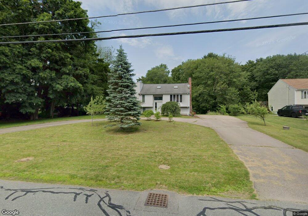
146 Branch St Mansfield, MA 02048
Estimated Value: $689,000 - $937,000
3
Beds
3
Baths
1,236
Sq Ft
$615/Sq Ft
Est. Value
About This Home
This home is located at 146 Branch St, Mansfield, MA 02048 and is currently estimated at $759,624, approximately $614 per square foot. 146 Branch St is a home located in Bristol County with nearby schools including Everett W. Robinson Elementary School, Jordan/Jackson Elementary School, and Harold L. Qualters Middle School.
Ownership History
Date
Name
Owned For
Owner Type
Purchase Details
Closed on
Jun 28, 1999
Sold by
Moeckel Peter W and Moeckel Alison V
Bought by
Oconnell Martin D and Oconnell Christine M
Current Estimated Value
Purchase Details
Closed on
Dec 9, 1993
Sold by
Fnma
Bought by
Moeckel Peter W and Moeckel Alison
Purchase Details
Closed on
Sep 29, 1993
Sold by
Berneburg William G
Bought by
Federal National Mortgage Association
Purchase Details
Closed on
Jun 29, 1990
Sold by
Bostic James W
Bought by
Berneburg William G
Purchase Details
Closed on
May 21, 1987
Sold by
Home Developers Inc
Bought by
Bostic James W
Create a Home Valuation Report for This Property
The Home Valuation Report is an in-depth analysis detailing your home's value as well as a comparison with similar homes in the area
Home Values in the Area
Average Home Value in this Area
Purchase History
| Date | Buyer | Sale Price | Title Company |
|---|---|---|---|
| Oconnell Martin D | $205,000 | -- | |
| Moeckel Peter W | $130,000 | -- | |
| Federal National Mortgage Association | $132,600 | -- | |
| Berneburg William G | $188,800 | -- | |
| Bostic James W | $110,000 | -- |
Source: Public Records
Mortgage History
| Date | Status | Borrower | Loan Amount |
|---|---|---|---|
| Open | Bostic James W | $212,700 | |
| Closed | Bostic James W | $10,000 |
Source: Public Records
Tax History
| Year | Tax Paid | Tax Assessment Tax Assessment Total Assessment is a certain percentage of the fair market value that is determined by local assessors to be the total taxable value of land and additions on the property. | Land | Improvement |
|---|---|---|---|---|
| 2025 | $7,340 | $557,300 | $243,600 | $313,700 |
| 2024 | $6,947 | $514,600 | $243,600 | $271,000 |
| 2023 | $6,766 | $480,200 | $243,600 | $236,600 |
| 2022 | $6,547 | $431,600 | $225,500 | $206,100 |
| 2021 | $8,237 | $410,300 | $197,400 | $212,900 |
| 2020 | $8,008 | $406,400 | $188,000 | $218,400 |
| 2019 | $7,653 | $375,000 | $156,600 | $218,400 |
| 2018 | $3,721 | $351,200 | $149,300 | $201,900 |
| 2017 | $7,499 | $350,600 | $145,100 | $205,500 |
| 2016 | $5,095 | $330,600 | $138,100 | $192,500 |
| 2015 | $4,712 | $304,000 | $138,100 | $165,900 |
Source: Public Records
Map
Nearby Homes
- 97 East St
- 2 N Main St Unit B201
- 7 Fieldstone Dr
- 46 Hope St
- 1 Deer Path Ln
- 28 Court St
- 122 Samoset Ave
- 107 Church St
- 22 Pleasant St Unit B
- 14 Windchime Dr
- 25 Kingman Ave
- 166 Chauncy St
- 631 East St Unit L101
- 28 Angell St
- 7 Liberty St
- 619 N Main St
- 212 Mill St
- 19 Barberry Rd
- 4 Erick Rd Unit 90
- 16 Holly Rd
Your Personal Tour Guide
Ask me questions while you tour the home.