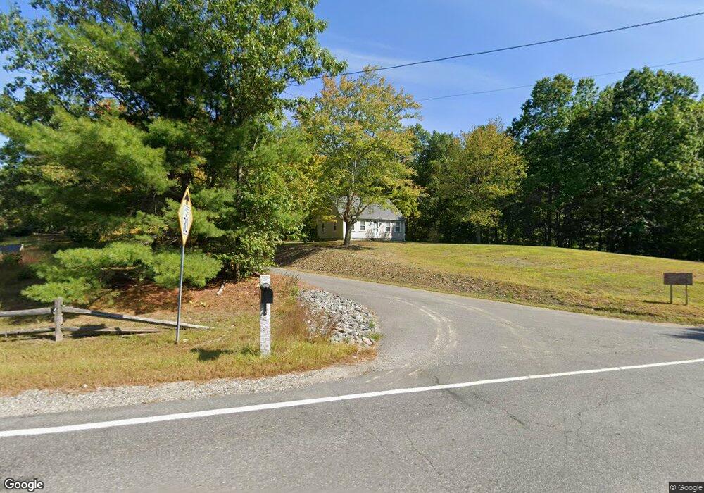
146 Broad St Unit 19-22 Hollis, NH 03049
Hollis NeighborhoodEstimated Value: $620,951 - $723,000
1
Bed
1
Bath
780
Sq Ft
$846/Sq Ft
Est. Value
About This Home
This home is located at 146 Broad St Unit 19-22, Hollis, NH 03049 and is currently estimated at $660,238, approximately $846 per square foot. 146 Broad St Unit 19-22 is a home located in Hillsborough County with nearby schools including Hollis Primary School, Hollis Upper Elementary School, and Hollis-Brookline Middle School.
Ownership History
Date
Name
Owned For
Owner Type
Purchase Details
Closed on
Nov 17, 2017
Sold by
Demetri George and Demetri Stella
Bought by
Leclair Kyle A and Leclair Danielle A
Current Estimated Value
Home Financials for this Owner
Home Financials are based on the most recent Mortgage that was taken out on this home.
Original Mortgage
$50,000
Outstanding Balance
$41,898
Interest Rate
3.85%
Mortgage Type
Purchase Money Mortgage
Estimated Equity
$618,340
Purchase Details
Closed on
Jan 12, 1987
Bought by
Burtt Jeanette H
Create a Home Valuation Report for This Property
The Home Valuation Report is an in-depth analysis detailing your home's value as well as a comparison with similar homes in the area
Home Values in the Area
Average Home Value in this Area
Purchase History
| Date | Buyer | Sale Price | Title Company |
|---|---|---|---|
| Leclair Kyle A | $223,533 | -- | |
| Burtt Jeanette H | -- | -- |
Source: Public Records
Mortgage History
| Date | Status | Borrower | Loan Amount |
|---|---|---|---|
| Open | Leclair Kyle A | $50,000 |
Source: Public Records
Tax History Compared to Growth
Tax History
| Year | Tax Paid | Tax Assessment Tax Assessment Total Assessment is a certain percentage of the fair market value that is determined by local assessors to be the total taxable value of land and additions on the property. | Land | Improvement |
|---|---|---|---|---|
| 2024 | $7,482 | $422,000 | $269,600 | $152,400 |
| 2023 | $7,031 | $422,000 | $269,600 | $152,400 |
| 2022 | $9,525 | $422,000 | $269,600 | $152,400 |
| 2021 | $6,279 | $276,600 | $194,500 | $82,100 |
| 2020 | $6,690 | $276,600 | $194,500 | $82,100 |
| 2019 | $6,389 | $276,600 | $194,500 | $82,100 |
| 2018 | $5,994 | $276,600 | $194,500 | $82,100 |
| 2017 | $6,142 | $265,300 | $193,200 | $72,100 |
| 2016 | $6,216 | $265,300 | $193,200 | $72,100 |
| 2015 | $6,107 | $265,300 | $193,200 | $72,100 |
| 2014 | $6,136 | $265,300 | $193,200 | $72,100 |
| 2013 | $6,054 | $265,300 | $193,200 | $72,100 |
Source: Public Records
Map
Nearby Homes
- 118 Broad St
- 77 Broad St
- 40-40A Pine Hill Rd
- 95 Wright Rd
- 7 Lovejoy Ln
- 11 Rideout Rd
- 199 Pine Hill Rd
- 45 Long Hill Rd
- 9-48-8 Ladd Ln
- 1 Ladd Ln
- 334 Broad St
- 5 Plainfield Ln
- 4-58 Dow Rd
- 194 Dow Rd
- 28 Bartemus Trail Unit U210
- 76 Bartemus Trail Unit U231
- 11 Bartemus Trail Unit 204
- 3 Wood Ln
- 2 Matties Way
- 1014 W Hollis St
- 146 Broad St Unit 19-22-01
- 146 Broad St Unit 19-22 & 19-22-01
- 146 Broad St
- 145 Broad St
- 150 Broad St
- 149 Broad St
- 2 Hideaway Ln
- 140 Broad St
- 151 Broad St
- 3 Hideaway Ln
- 156 Broad St
- 155 Broad St
- 136 Broad St
- 159 Broad St
- 12 Hideaway Ln
- 162 Broad St
- 19-44-1 Hideaway Ln Unit Lot 19-44-1
- 4 Maple Knoll Dr
- 22 Hideaway Ln
- 164 Broad St