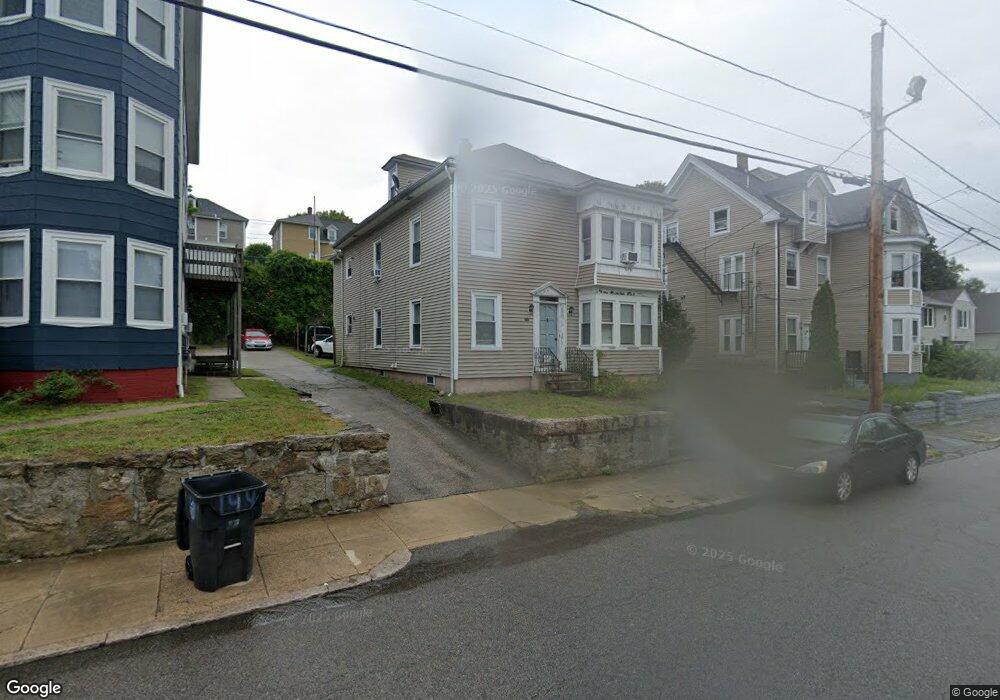
146 Brookside Ave West Warwick, RI 02893
Centreville NeighborhoodEstimated Value: $372,000 - $532,000
5
Beds
2
Baths
2,532
Sq Ft
$188/Sq Ft
Est. Value
About This Home
This home is located at 146 Brookside Ave, West Warwick, RI 02893 and is currently estimated at $476,036, approximately $188 per square foot. 146 Brookside Ave is a home located in Kent County with nearby schools including West Warwick High School.
Ownership History
Date
Name
Owned For
Owner Type
Purchase Details
Closed on
Sep 3, 2008
Sold by
Padin Raymond L and Rodriguez Michelle
Bought by
Medeiros John and Medeiros Maria
Current Estimated Value
Purchase Details
Closed on
Mar 18, 2003
Sold by
Ventura Ricardo and Ventura Maria
Bought by
Padin Raymond L
Purchase Details
Closed on
Dec 1, 1995
Sold by
Roy Douglas
Bought by
Mayette Paul C and Mayette Catherine
Purchase Details
Closed on
Feb 3, 1989
Sold by
Langlois Bertha
Bought by
Roy Douglas
Create a Home Valuation Report for This Property
The Home Valuation Report is an in-depth analysis detailing your home's value as well as a comparison with similar homes in the area
Home Values in the Area
Average Home Value in this Area
Purchase History
| Date | Buyer | Sale Price | Title Company |
|---|---|---|---|
| Medeiros John | $135,000 | -- | |
| Padin Raymond L | $187,500 | -- | |
| Mayette Paul C | $65,000 | -- | |
| Roy Douglas | $50,000 | -- |
Source: Public Records
Mortgage History
| Date | Status | Borrower | Loan Amount |
|---|---|---|---|
| Previous Owner | Roy Douglas | $256,000 | |
| Previous Owner | Roy Douglas | $48,000 |
Source: Public Records
Tax History Compared to Growth
Tax History
| Year | Tax Paid | Tax Assessment Tax Assessment Total Assessment is a certain percentage of the fair market value that is determined by local assessors to be the total taxable value of land and additions on the property. | Land | Improvement |
|---|---|---|---|---|
| 2025 | $6,919 | $452,500 | $76,400 | $376,100 |
| 2024 | $6,299 | $307,700 | $48,500 | $259,200 |
| 2023 | $6,176 | $307,700 | $48,500 | $259,200 |
| 2022 | $6,077 | $307,700 | $48,500 | $259,200 |
| 2021 | $6,086 | $203,600 | $39,800 | $163,800 |
| 2020 | $6,086 | $203,600 | $39,800 | $163,800 |
| 2019 | $5,970 | $203,600 | $39,800 | $163,800 |
| 2018 | $6,229 | $158,900 | $37,400 | $121,500 |
| 2017 | $6,030 | $158,900 | $37,400 | $121,500 |
| 2016 | $5,922 | $158,900 | $37,400 | $121,500 |
| 2015 | $5,930 | $159,100 | $37,400 | $121,700 |
| 2014 | $1,450 | $159,100 | $37,400 | $121,700 |
Source: Public Records
Map
Nearby Homes
- 148 Brookside Ave
- 138 Brookside Ave
- 152 Brookside Ave
- 1419 Main St
- 1409 Main St
- 1413 Main St
- 1425 Main St
- 134 Brookside Ave
- 156 Brookside Ave
- 1405 Main St
- 139 Brookside Ave
- 132 Brookside Ave
- 1429 Main St
- 158 Brookside Ave
- 1427 Main St
- 1431 Main St
- 1412 Main St
- 130 Brookside Ave
- 162 Brookside Ave
- 1399 Main St