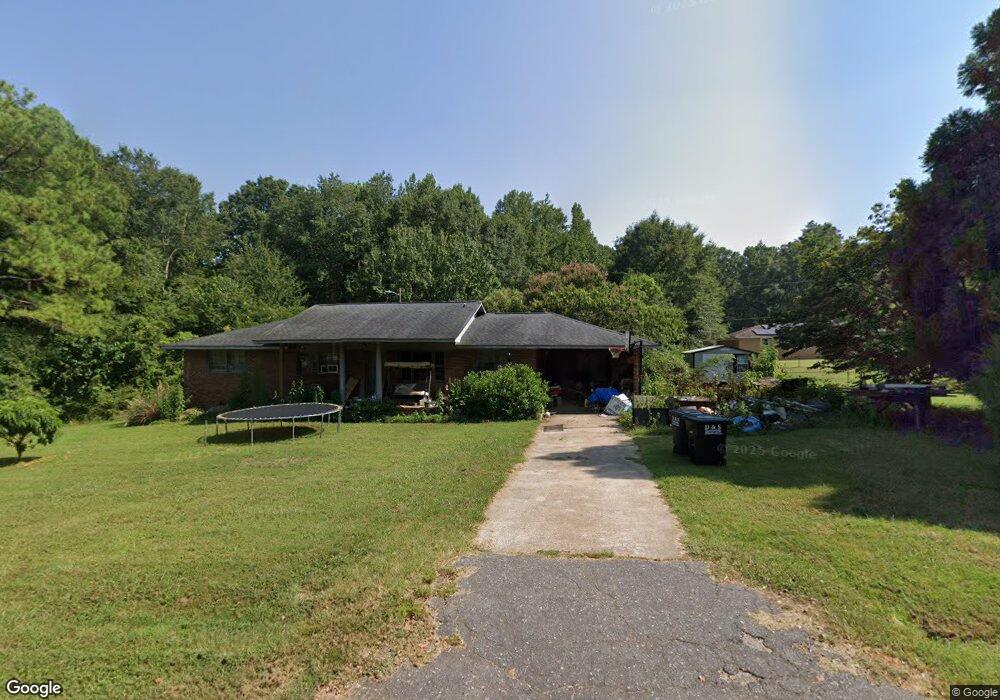
146 Cedar Rd Anderson, SC 29624
Estimated Value: $151,548 - $236,000
3
Beds
--
Bath
1,345
Sq Ft
$158/Sq Ft
Est. Value
About This Home
This home is located at 146 Cedar Rd, Anderson, SC 29624 and is currently estimated at $211,887, approximately $157 per square foot. 146 Cedar Rd is a home located in Anderson County with nearby schools including Crescent High School and Anderson Five Charter School.
Ownership History
Date
Name
Owned For
Owner Type
Purchase Details
Closed on
Aug 30, 2022
Sold by
Louanne Williams Geneva
Bought by
Williams Geneva L
Current Estimated Value
Home Financials for this Owner
Home Financials are based on the most recent Mortgage that was taken out on this home.
Original Mortgage
$53,176
Outstanding Balance
$23,047
Interest Rate
5.54%
Mortgage Type
Credit Line Revolving
Estimated Equity
$188,840
Purchase Details
Closed on
Aug 19, 2014
Sold by
Williams Juanita and Page Juanita
Bought by
Williams Travis Wayne and Williams Gene Louanne
Create a Home Valuation Report for This Property
The Home Valuation Report is an in-depth analysis detailing your home's value as well as a comparison with similar homes in the area
Home Values in the Area
Average Home Value in this Area
Purchase History
| Date | Buyer | Sale Price | Title Company |
|---|---|---|---|
| Williams Geneva L | $50,000 | -- | |
| Williams Travis Wayne | -- | -- |
Source: Public Records
Mortgage History
| Date | Status | Borrower | Loan Amount |
|---|---|---|---|
| Open | Williams Geneva L | $53,176 |
Source: Public Records
Tax History
| Year | Tax Paid | Tax Assessment Tax Assessment Total Assessment is a certain percentage of the fair market value that is determined by local assessors to be the total taxable value of land and additions on the property. | Land | Improvement |
|---|---|---|---|---|
| 2024 | $533 | $8,000 | $950 | $7,050 |
| 2023 | $526 | $4,800 | $570 | $4,230 |
| 2022 | $498 | $3,200 | $380 | $2,820 |
| 2021 | $457 | $2,740 | $240 | $2,500 |
| 2020 | $452 | $2,740 | $240 | $2,500 |
| 2019 | $452 | $2,740 | $240 | $2,500 |
| 2018 | $452 | $2,740 | $240 | $2,500 |
| 2017 | -- | $2,740 | $240 | $2,500 |
| 2016 | $453 | $2,740 | $240 | $2,500 |
| 2015 | $462 | $2,740 | $240 | $2,500 |
| 2014 | $465 | $2,740 | $240 | $2,500 |
Source: Public Records
Map
Nearby Homes
- 231 Cloverhill Dr
- 144 Cloverhill Dr
- 1022 Hickory Ln
- 209 Poplar Ln
- 211 Poplar Ln
- Lot 4C Kaye Dr
- 120 George Edward Dr
- 122 George Edward Dr
- 4101 Abbeville Hwy
- 00 Clinkscales Rd
- 00 Keys St
- 623 Clinkscales Rd
- 213 Carswell Dr
- 499 Acker Rd
- Tract 3 Acker Rd
- 105 Combine Ln
- 111 Combine Ln
- 0 Hayes Rd
- 3508 Allston St
- 113 Norbert Ln
- 144 Cedar Rd
- 139 Cedar Rd
- 213 Cloverhill Dr
- 225 Cloverhill Dr
- 137 Cedar Rd
- 141 Cedar Rd
- 140 Cedar Rd
- 150 Cedar Rd
- 1112 Hickory Ln
- 207 Cloverhill Dr
- 212 Cloverhill Dr
- 143 Cedar Rd
- 1108 Hickory Ln
- 1116 Hickory Ln
- 224 Cloverhill Dr
- 1106 Hickory Ln
- 1120 Hickory Ln
- 136 Cedar Rd
- 152 Cedar Rd
- 237 Cloverhill Dr
Your Personal Tour Guide
Ask me questions while you tour the home.