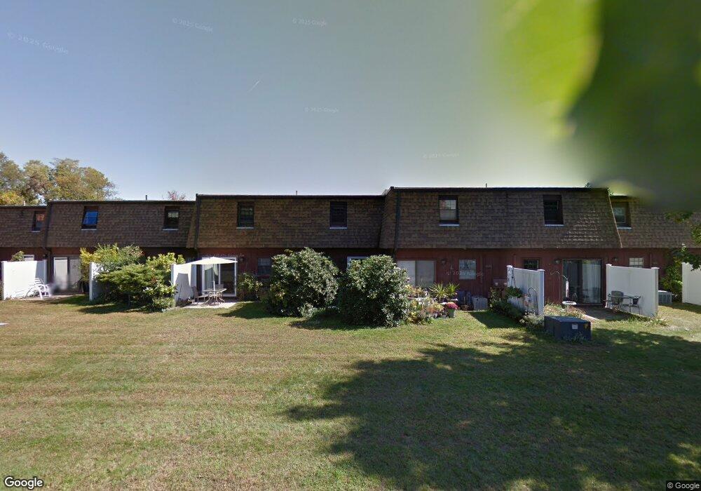
146 College Hwy Unit 9 Southampton, MA 01073
Estimated Value: $197,000 - $380,000
2
Beds
2
Baths
918
Sq Ft
$278/Sq Ft
Est. Value
About This Home
This home is located at 146 College Hwy Unit 9, Southampton, MA 01073 and is currently estimated at $255,003, approximately $277 per square foot. 146 College Hwy Unit 9 is a home located in Hampshire County with nearby schools including William E Norris School, Calvary Baptist Christian School, and White Oak School.
Ownership History
Date
Name
Owned For
Owner Type
Purchase Details
Closed on
Feb 18, 1993
Sold by
Schmidt-Bacon Bonnie
Bought by
Burnett Robert W
Current Estimated Value
Home Financials for this Owner
Home Financials are based on the most recent Mortgage that was taken out on this home.
Original Mortgage
$32,000
Interest Rate
8.06%
Mortgage Type
Purchase Money Mortgage
Purchase Details
Closed on
Dec 31, 1990
Sold by
Vanguard Sb
Bought by
Schmidt-Bacon Bonnie
Create a Home Valuation Report for This Property
The Home Valuation Report is an in-depth analysis detailing your home's value as well as a comparison with similar homes in the area
Home Values in the Area
Average Home Value in this Area
Purchase History
| Date | Buyer | Sale Price | Title Company |
|---|---|---|---|
| Burnett Robert W | $52,500 | -- | |
| Schmidt-Bacon Bonnie | $55,000 | -- |
Source: Public Records
Mortgage History
| Date | Status | Borrower | Loan Amount |
|---|---|---|---|
| Open | Schmidt-Bacon Bonnie | $25,000 | |
| Closed | Schmidt-Bacon Bonnie | $32,000 |
Source: Public Records
Tax History Compared to Growth
Tax History
| Year | Tax Paid | Tax Assessment Tax Assessment Total Assessment is a certain percentage of the fair market value that is determined by local assessors to be the total taxable value of land and additions on the property. | Land | Improvement |
|---|---|---|---|---|
| 2025 | $2,138 | $150,900 | $0 | $150,900 |
| 2024 | $2,183 | $153,200 | $0 | $153,200 |
| 2023 | $1,744 | $121,700 | $0 | $121,700 |
| 2022 | $1,837 | $121,900 | $0 | $121,900 |
| 2021 | $1,872 | $117,200 | $0 | $117,200 |
| 2020 | $1,832 | $115,800 | $0 | $115,800 |
| 2019 | $1,727 | $105,900 | $0 | $105,900 |
| 2018 | $1,726 | $103,200 | $0 | $103,200 |
| 2017 | $1,684 | $103,200 | $0 | $103,200 |
| 2015 | $1,609 | $102,400 | $0 | $102,400 |
Source: Public Records
Map
Nearby Homes
- 10 Parc Place Unit 2
- 1 Hillside Meadows Dr
- 68 College Hwy
- 17 Glendale Rd
- 216 College Hwy
- 10 Golden Cir
- 12 Golden Cir
- Lot 5 Gil Farm Rd
- Lot 6 Gil Farm Rd
- 38 College Hwy
- 72 Glendale Rd
- 40 Strong Rd
- 0 Glendale Rd
- 22 Eastwood Ln
- 26 Eastwood Ln
- 14 Eastwood Dr
- 7 Quigley Rd
- 22 Phelps St
- 100 Fomer Rd
- 245 Park St
- 146 College Hwy Unit 25
- 146 College Hwy Unit 24
- 146 College Hwy Unit 23
- 146 College Hwy Unit 22
- 146 College Hwy Unit 21
- 146 College Hwy Unit 20
- 146 College Hwy Unit 19
- 146 College Hwy Unit 18
- 146 College Hwy Unit 17
- 146 College Hwy Unit 16
- 146 College Hwy Unit 15
- 146 College Hwy Unit 14
- 146 College Hwy Unit 12
- 146 College Hwy Unit 11
- 146 College Hwy Unit 10
- 146 College Hwy Unit 8
- 146 College Hwy Unit 7
- 146 College Hwy Unit 6
- 146 College Hwy Unit 5
- 146 College Hwy Unit 4