146 Kelsie Cir Summertown, TN 38483
Estimated Value: $310,893 - $391,000
--
Bed
--
Bath
1,682
Sq Ft
$215/Sq Ft
Est. Value
About This Home
This home is located at 146 Kelsie Cir, Summertown, TN 38483 and is currently estimated at $360,973, approximately $214 per square foot. 146 Kelsie Cir is a home with nearby schools including Ethridge Elementary School, Ingram Sowell Elementary School, and Lawrenceburg Public Elementary School.
Ownership History
Date
Name
Owned For
Owner Type
Purchase Details
Closed on
Jan 3, 2017
Sold by
Robertson Stanley Dale
Bought by
Andrews Kassie Leigh and Staggs Darek Thomas
Current Estimated Value
Home Financials for this Owner
Home Financials are based on the most recent Mortgage that was taken out on this home.
Original Mortgage
$162,011
Outstanding Balance
$129,718
Interest Rate
3.25%
Mortgage Type
FHA
Estimated Equity
$231,255
Purchase Details
Closed on
Feb 25, 2016
Sold by
Kelly Zondra Robertson
Bought by
Robertson Stanley Dale
Home Financials for this Owner
Home Financials are based on the most recent Mortgage that was taken out on this home.
Original Mortgage
$120,000
Interest Rate
3.79%
Mortgage Type
New Conventional
Create a Home Valuation Report for This Property
The Home Valuation Report is an in-depth analysis detailing your home's value as well as a comparison with similar homes in the area
Home Values in the Area
Average Home Value in this Area
Purchase History
| Date | Buyer | Sale Price | Title Company |
|---|---|---|---|
| Andrews Kassie Leigh | $165,000 | -- | |
| Robertson Stanley Dale | -- | -- |
Source: Public Records
Mortgage History
| Date | Status | Borrower | Loan Amount |
|---|---|---|---|
| Open | Andrews Kassie Leigh | $162,011 | |
| Previous Owner | Robertson Stanley Dale | $120,000 |
Source: Public Records
Tax History Compared to Growth
Tax History
| Year | Tax Paid | Tax Assessment Tax Assessment Total Assessment is a certain percentage of the fair market value that is determined by local assessors to be the total taxable value of land and additions on the property. | Land | Improvement |
|---|---|---|---|---|
| 2025 | $1,172 | $58,275 | $0 | $0 |
| 2024 | $1,172 | $58,275 | $2,825 | $55,450 |
| 2023 | $1,172 | $58,275 | $2,825 | $55,450 |
| 2022 | $1,172 | $58,275 | $2,825 | $55,450 |
| 2021 | $1,178 | $39,825 | $2,375 | $37,450 |
| 2020 | $1,178 | $39,825 | $2,375 | $37,450 |
| 2019 | $1,178 | $39,825 | $2,375 | $37,450 |
| 2018 | $1,178 | $39,825 | $2,375 | $37,450 |
| 2017 | $1,108 | $37,450 | $2,375 | $35,075 |
| 2016 | $70 | $2,375 | $2,375 | $0 |
| 2015 | $65 | $2,375 | $2,375 | $0 |
| 2014 | $65 | $2,375 | $2,375 | $0 |
Source: Public Records
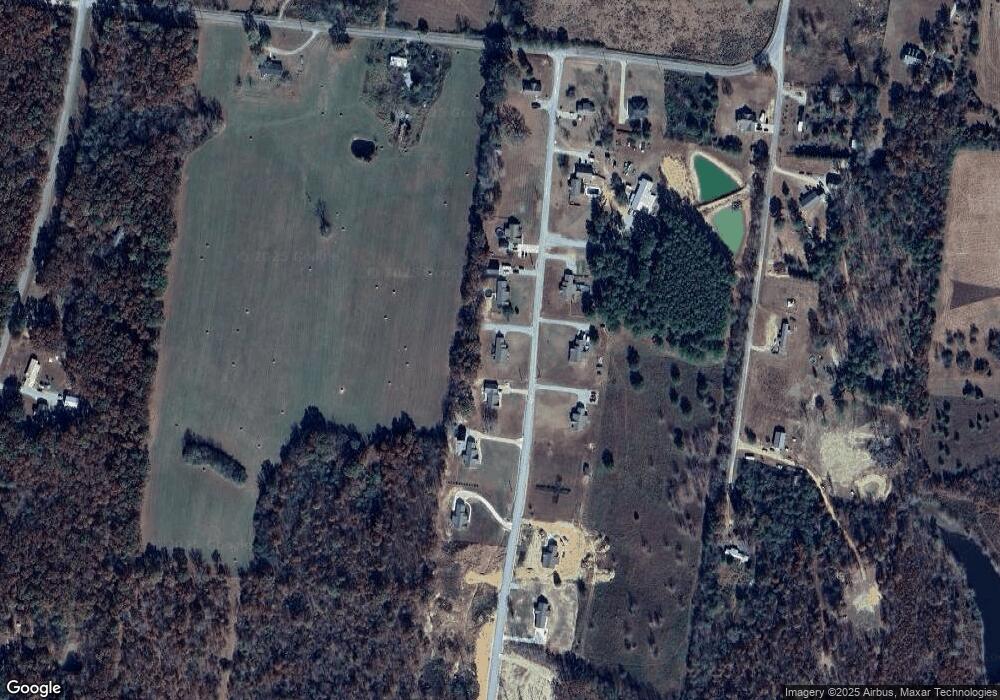
Map
Nearby Homes
- 128 Pleasant Garden Rd
- 3960 Buffalo Rd
- 0 Buffalo Rd Unit RTC3015128
- 948 N Brace Rd
- 37 Lakeview Dr
- 111 Water Oak Rd
- 1405 Turnpike Rd
- 3771 Buffalo Rd
- 221 Mckenzie Ln
- 9 Silverton Dr
- 136 Summer Lake Dr
- 103 Corbin St
- 0 Pine Lake Rd Unit RTC3012860
- 0 Pine Lake Rd Unit RTC2974048
- 107 Shady St
- 412 E College St
- 206 Daley St
- 74 Pine Lake Rd
- 16 Cummings Rd
- 0 Hwy 43 Unit RTC2811357