146 MacK Hill Rd Amherst, NH 03031
Estimated Value: $713,154 - $785,000
4
Beds
4
Baths
2,791
Sq Ft
$269/Sq Ft
Est. Value
About This Home
This home is located at 146 MacK Hill Rd, Amherst, NH 03031 and is currently estimated at $750,718, approximately $268 per square foot. 146 MacK Hill Rd is a home with nearby schools including Wilkins Elementary School, Amherst Middle School, and Souhegan Cooperative High School.
Create a Home Valuation Report for This Property
The Home Valuation Report is an in-depth analysis detailing your home's value as well as a comparison with similar homes in the area
Home Values in the Area
Average Home Value in this Area
Tax History Compared to Growth
Tax History
| Year | Tax Paid | Tax Assessment Tax Assessment Total Assessment is a certain percentage of the fair market value that is determined by local assessors to be the total taxable value of land and additions on the property. | Land | Improvement |
|---|---|---|---|---|
| 2024 | $11,986 | $522,700 | $206,900 | $315,800 |
| 2023 | $11,437 | $522,700 | $206,900 | $315,800 |
| 2022 | $11,045 | $522,700 | $206,900 | $315,800 |
| 2021 | $11,139 | $522,700 | $206,900 | $315,800 |
| 2020 | $5,093 | $392,700 | $165,700 | $227,000 |
| 2019 | $5,296 | $392,700 | $165,700 | $227,000 |
| 2018 | $2,850 | $392,700 | $165,700 | $227,000 |
| 2017 | $9,886 | $380,100 | $165,700 | $214,400 |
| 2016 | $5,048 | $380,100 | $165,700 | $214,400 |
| 2015 | $10,875 | $410,700 | $181,300 | $229,400 |
| 2014 | $10,949 | $410,700 | $181,300 | $229,400 |
| 2013 | $10,863 | $410,700 | $181,300 | $229,400 |
Source: Public Records
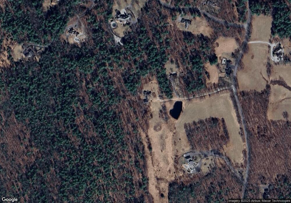
Map
Nearby Homes
- 24 Brook Rd
- 3 Renee Dr
- 2A Renee Dr
- 2-47 Old Amherst Rd
- 36 MacK Hill Rd
- 26 N Main St Unit 3
- 26 N Main St Unit 5
- 26 N Main St Unit 7
- 17 Kittredge Rd
- 23 Bloody Brook Rd
- 5 Sean Dr
- 4 Bloody Brook Rd
- 10 Winterberry Dr
- 32-1 Chestnut Hill Rd
- 32-4 Chestnut Hill Rd
- 101 Horace Greeley Rd
- 15-32-1-4 Chestnut Hill Rd
- 37 Baboosic Lake Rd
- 4 Milford St
- 4 Trow Rd