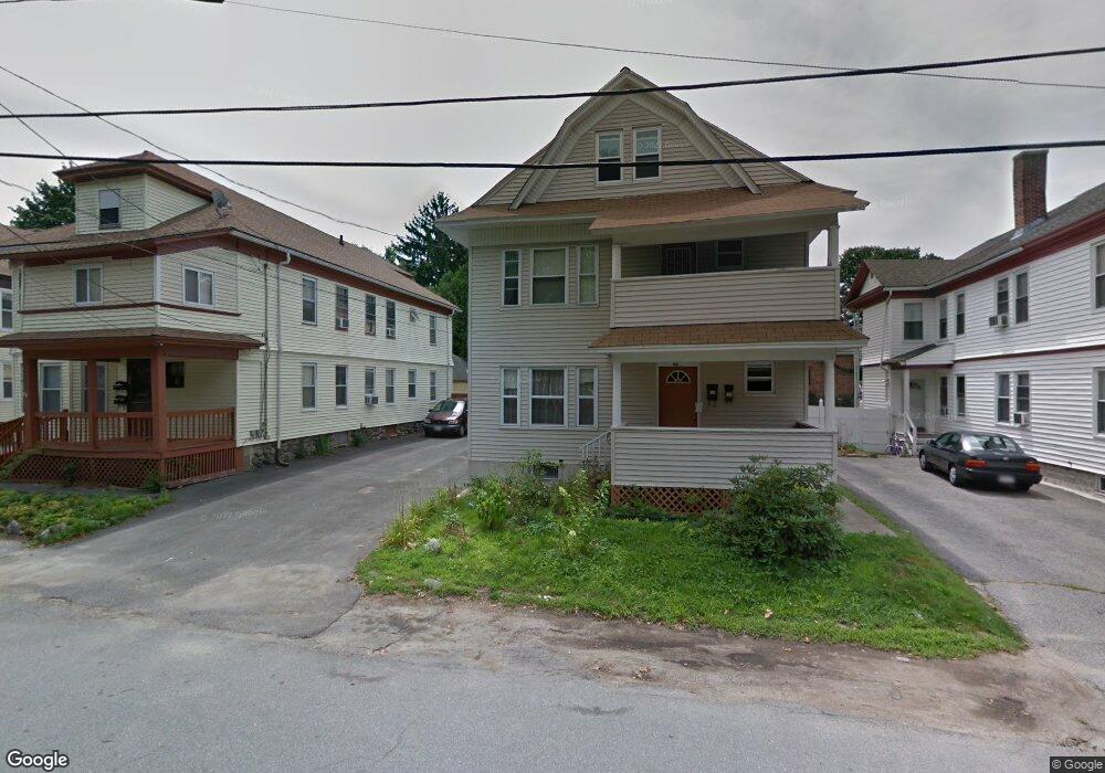
146 Oakside Ave Unit 148 Methuen, MA 01844
The East End NeighborhoodEstimated Value: $749,000 - $877,000
6
Beds
3
Baths
3,662
Sq Ft
$220/Sq Ft
Est. Value
About This Home
This home is located at 146 Oakside Ave Unit 148, Methuen, MA 01844 and is currently estimated at $805,962, approximately $220 per square foot. 146 Oakside Ave Unit 148 is a home located in Essex County with nearby schools including Tenney Grammar School, Methuen High School, and Saint Monica School.
Ownership History
Date
Name
Owned For
Owner Type
Purchase Details
Closed on
May 14, 2009
Sold by
146 Oakside Avenue Rt and Adames
Bought by
Adames Manuel and Adames Carmen
Current Estimated Value
Purchase Details
Closed on
Nov 25, 2008
Sold by
Adames Manuel and Adames Carmen
Bought by
146 Oakside Avenue Rt and Adames
Purchase Details
Closed on
Mar 4, 1994
Sold by
Chemical Bk
Bought by
Adames Manuel
Create a Home Valuation Report for This Property
The Home Valuation Report is an in-depth analysis detailing your home's value as well as a comparison with similar homes in the area
Home Values in the Area
Average Home Value in this Area
Purchase History
| Date | Buyer | Sale Price | Title Company |
|---|---|---|---|
| Adames Manuel | -- | -- | |
| Adames Manuel | -- | -- | |
| 146 Oakside Avenue Rt | -- | -- | |
| 146 Oakside Avenue Rt | -- | -- | |
| Adames Manuel | $63,000 | -- |
Source: Public Records
Mortgage History
| Date | Status | Borrower | Loan Amount |
|---|---|---|---|
| Open | Adames Manuel | $25,000 | |
| Previous Owner | Adames Manuel | $12,915 |
Source: Public Records
Tax History
| Year | Tax Paid | Tax Assessment Tax Assessment Total Assessment is a certain percentage of the fair market value that is determined by local assessors to be the total taxable value of land and additions on the property. | Land | Improvement |
|---|---|---|---|---|
| 2025 | $7,989 | $755,100 | $188,500 | $566,600 |
| 2024 | $7,247 | $667,300 | $169,000 | $498,300 |
| 2023 | $7,086 | $605,600 | $149,500 | $456,100 |
| 2022 | $6,334 | $485,400 | $117,000 | $368,400 |
| 2021 | $6,059 | $459,400 | $110,500 | $348,900 |
| 2020 | $5,693 | $423,600 | $104,000 | $319,600 |
| 2019 | $5,399 | $380,500 | $97,500 | $283,000 |
| 2018 | $5,079 | $355,900 | $97,500 | $258,400 |
| 2017 | $4,874 | $332,700 | $91,000 | $241,700 |
| 2016 | $4,428 | $299,000 | $84,500 | $214,500 |
Source: Public Records
Map
Nearby Homes
- 123 Lawrence St
- 97 Kenwood Rd
- 6 Huse Rd
- 29 Center St
- 9-11 Horne St
- 23 Chase St
- 434-438 Hampshire St
- 24 Railroad St
- 281 Broadway
- 129-131 Lexington St
- 173 Jackson St
- 27 Willow St Unit A
- 20-22 Ashland Ave
- 25-27 Bicknell Ave
- 36 Manchester St
- 7-9 Bennington St
- 611 Prospect St
- 593 Prospect St
- 10 Holly St
- 179-181 West St
- 150 Oakside Ave
- 142 Oakside Ave
- 142 Oakside Ave Unit 2
- 138 Oakside Ave
- 138 Oakside Ave Unit 1
- 49 Tudor St
- 152 Oakside Ave
- 51 Tudor St
- 55 Tudor St
- 134 Oakside Ave
- 154 Oakside Ave
- 39 Tudor St
- 2 Beedle Terrace
- 1 Beedle Terrace
- 153 Oakside Ave
- 130-132 Oakside Ave
- 130 Oakside Ave Unit 132
- 61 Tudor St
- 20 Pinewood Rd
- 24 Pinewood Rd
Your Personal Tour Guide
Ask me questions while you tour the home.